Didim Map: Where the Temple, Altınkum and the Marina Sit
A visitor's map of Didim: where the Temple of Apollo, Altınkum, Manastır Koyu and the marina sit, and how the town's neighbourhoods fit together.
On this page
Treat Didim as three pieces rather than one place. Didyma and the Temple of Apollo sit about 3½ km west of the town, while Altınkum lies roughly 4½ km south, so the ruins, the town centre and the beach strip are separate stops on any day out. This guide lays those pieces out in map order, then covers the coves, the marina and Miletus beyond. If it is your first visit, the Things to Do in Didim guide covers the sights in more depth.
The layout decides your transport. A base in Altınkum puts you on the promenade but away from the temple; a base in the town centre reverses that. Once you know which piece you are heading for, the dolmuş, a taxi or a boat decides the rest of the day.
What the map of Didim shows at a glance
A map of the district shows a resort town on the southern Aegean with about 64,600 residents, set in Aydın Province. The two sights that anchor the map are Didyma, the ancient sanctuary with the Temple of Apollo, and the beach neighbourhood of Altınkum; both sit a short distance from the town centre rather than inside it.
The map also names neighbourhoods and coastal spots that visitors treat as separate destinations: Efeler as a suburb of the town, Manastır Koyu and Didem Plajı along the coast, and Panormus Portus as a bay to the west. Reading those names before you arrive stops you from booking a base in the wrong piece of the district.
Use a printable map to fix the main roads and the seafront in your head, then switch to an interactive map for directions once you are there.
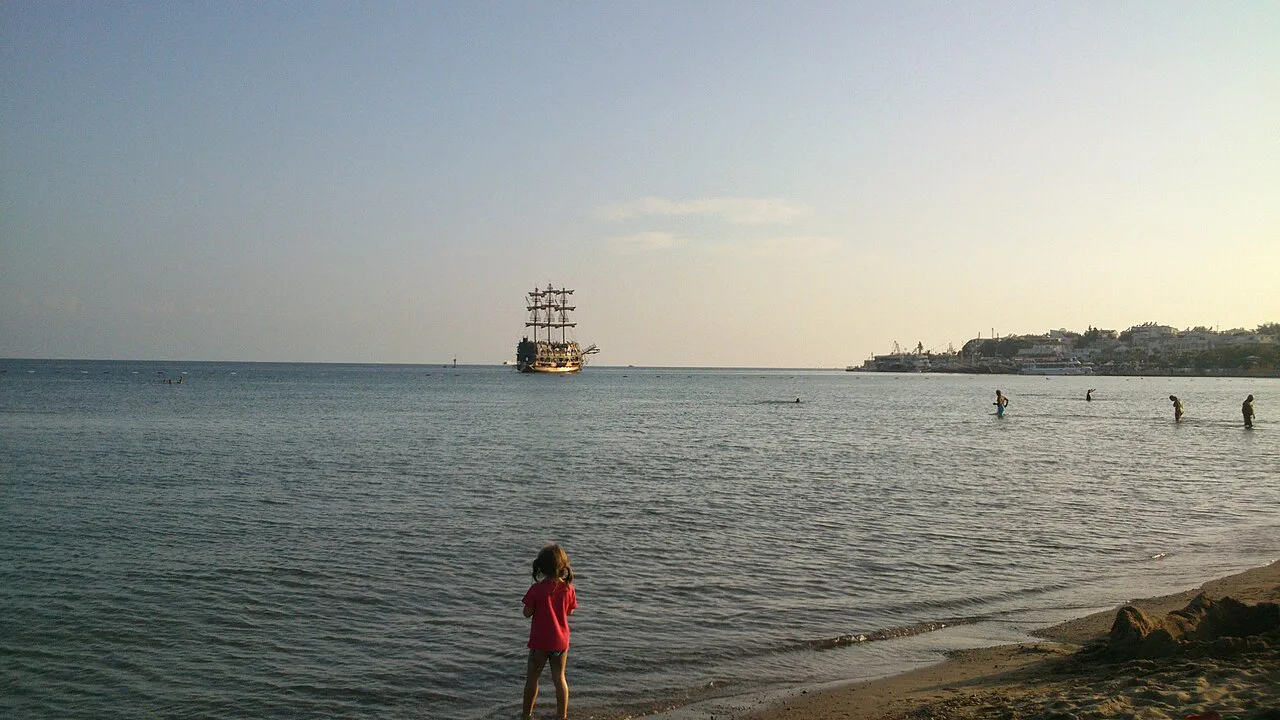
Where Didim sits on the Aegean coast and which airport serves it
Didim occupies the southern Aegean coast in Aydın Province, and its position explains the transfer options. It is the most northerly of the resorts served by Milas-Bodrum Airport, which is why brochures often file it under the Bodrum region even though it administratively belongs to Aydın.
That airport link shapes how you draw your own map. Bodrum itself is a separate resort down the coast, so plan the transfer as an airport-to-resort leg rather than a quick hop between two neighbouring towns. Check current transfer times and any shuttle arrangements with your accommodation before you fly, since schedules change between seasons.
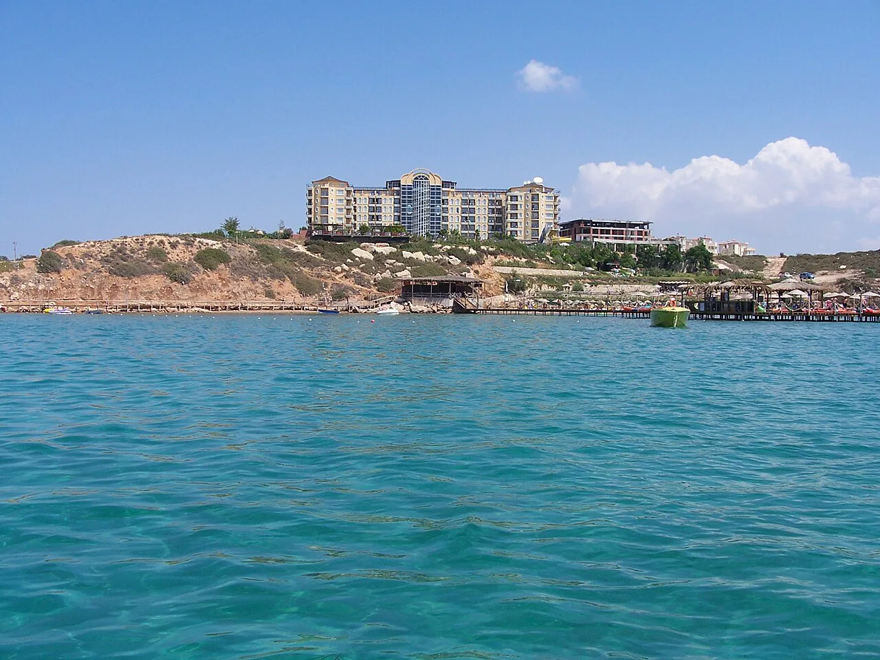
Didim town centre versus Altınkum: the two halves visitors use
The town centre is the working half of Didim: the municipality's streets and services sit here, with Efeler among its neighbourhoods. It is the practical base for the temple, a short ride west, and it keeps you in a Turkish town rather than a holiday strip.
Altınkum, about 4½ km south, is the resort half. Its long sandy shoreline comes with a promenade lined with restaurants and bars, water sports on the sand and boat trips leaving for the day. Choose Altınkum if you want to walk out of your door onto the seafront; choose the centre if the ruins are your priority.
Both halves are compact enough to walk internally, but the gap between them is a vehicle ride, not a stroll. Think of the district as a short axis running north to south from town to beach, with the temple hanging off it to the west.
The Temple of Apollo and Didyma: the site west of town
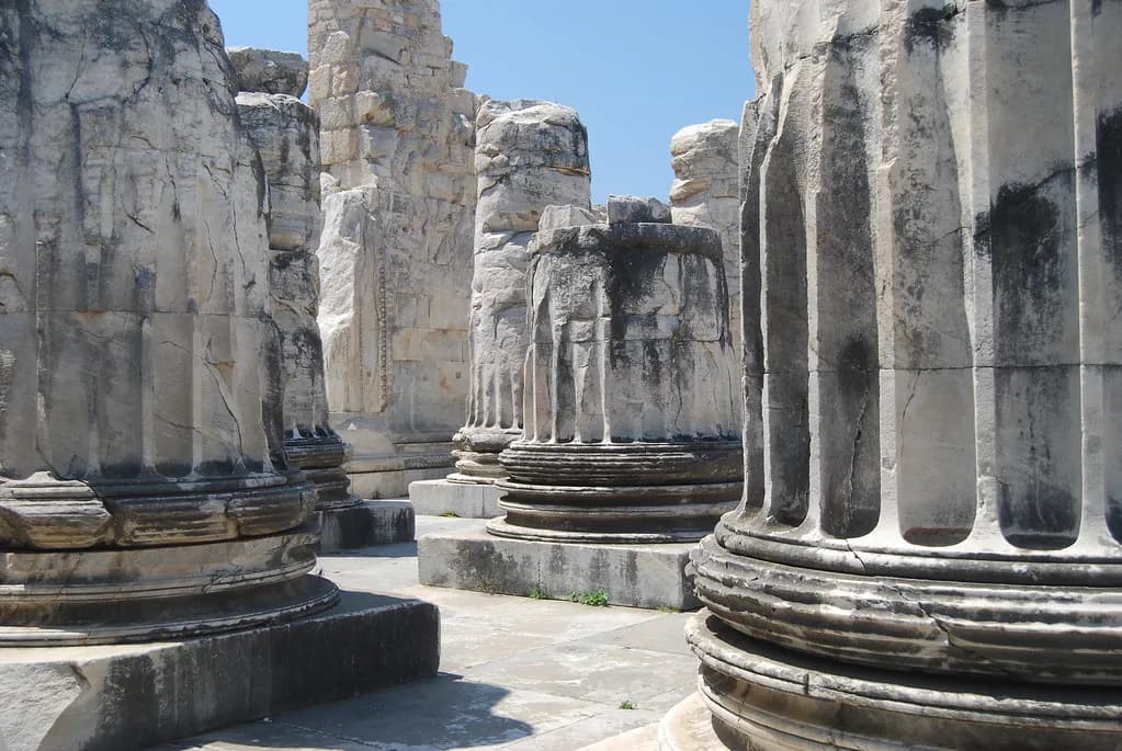
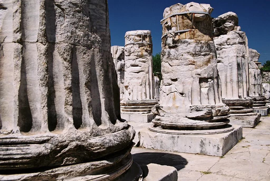
Didyma is the ancient sanctuary on Didim's western edge, roughly 3½ km from the town centre, and it contains the Temple of Apollo. The surviving columns and bases give a clear sense of the building's original scale, and visitors can walk among the ruins. Plan it as a half-day stop rather than a quick photo call.
The temple is the strongest reason to keep a base near the town centre. Go in the morning, before the heat builds, and check the current ticket arrangements and opening hours at the site entrance on the day.
Altınkum beach and promenade on the map
Altınkum's beach runs along the resort's seafront, with a promenade behind it holding restaurants, bars and shops. Water sports including jet skiing and banana boat rides operate from the sand, and day boat trips leave from the area.
On the map, Altınkum sits at the southern end of the district, which makes it the natural starting point for the coves further south. Walk the promenade once to learn which stretch suits you, then use it as your landmark for taxis and dolmuş rides back into town.
Manastır Koyu (Cennet Koy Plajı) and the coves south of Altınkum
Manastır Koyu, also called Cennet Koy Plajı, is a bay beach with gentle, shallow water that makes it the easier choice for families with children. The sand is fine and pale, and the beach has sun lounger and umbrella hire plus a café serving simple refreshments.
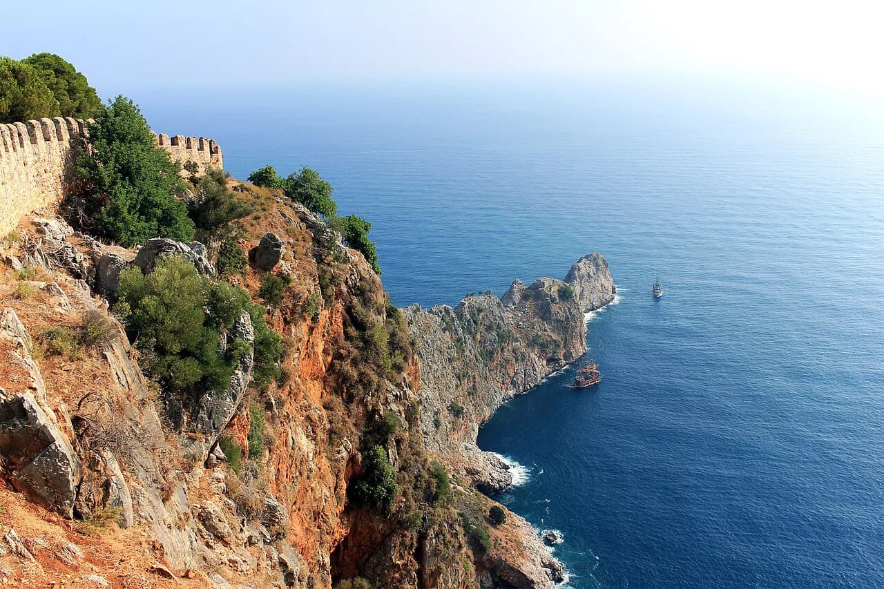
Its position south of Altınkum means it works as an extension of a beach day rather than a separate excursion. Set out from the Altınkum promenade, treat the bay as the far anchor of your map and return the same way. Didem Plajı is another beach plotted on the district map, further along the coast.
Didim Marina and the boat-trip departure points
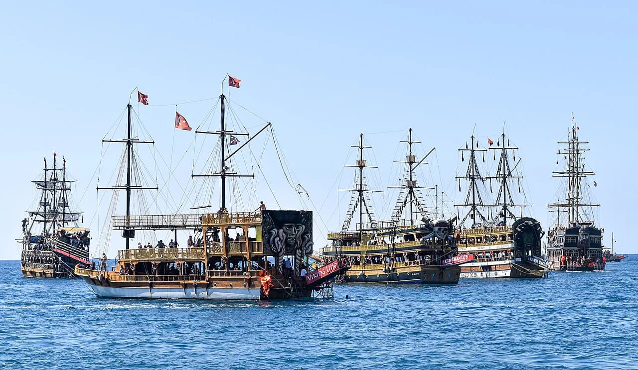
D-Marin Didim Marina is listed on the visitor map, and boat trips are also advertised out of the Altınkum area. That gives you two possible starting points for a day on the water: the marina and the resort seafront. Operators advertise trips through local booking pages rather than a single published timetable.
Boat services are seasonal, so confirm the departure point, the day's route and what is included with the boat company before you pay. On the map, the marina sits apart from the Altınkum strip, so budget for a transfer if you are staying on the beach side.
Miletus and the other ancient sites within reach
Miletus Ancient City is plotted on the Didim area map as a separate ancient site, outside the town itself. It is a different outing from Didyma: plan it as its own half-day with its own transport rather than expecting to walk between the two.
Several smaller ancient sites and historic places are collected on the same map, including Didyma's wider sanctuary area. Group them by direction before you set out so you are not crossing the district twice in one day, and confirm admission at each entrance on the day you go.
Getting between the pieces: dolmuş, taxi and boat
The district's shape dictates your transport. Dolmuş minibuses and taxis are the practical way to cover the 3½ km to Didyma and the 4½ km to Altınkum, and the seafront strips are then walkable on foot.
Treat fares and frequencies as things you confirm locally rather than fixed facts. Ask your accommodation which dolmuş route passes nearest, and agree the taxi fare or check the meter before you set off. Boats cover the water side of the map, with trips advertised from Altınkum and the marina.
Putting a day together on the map
Start at Didyma for the Temple of Apollo while it is cool, then ride back through the town centre before the heat peaks. Take the dolmuş or a taxi south to Altınkum in the afternoon, walk the promenade and finish on the sand. That route follows the map in a straight line instead of doubling back.
If you have a second day, give it to the coast: Manastır Koyu for shallow water and a family-friendly morning, then the marina or Altınkum for an afternoon boat trip once you have confirmed the day's departure. Keep Miletus for a third day or swap it in for the beach if ancient sites are your priority.
Which piece of Didim should you book around?
Book around the town centre if the Temple of Apollo and Didyma are your reason for coming, and around Altınkum if you want the promenade and the beach on your doorstep. Either way, treat the 3½ km to the ruins and the 4½ km to the resort as short vehicle hops rather than walks, and keep the dolmuş or a taxi in your plan. For the markets and bazaars, see Shopping in Didim.
Use the marina and the Altınkum seafront as your two possible water departure points, check boat details with the boat company on the day, and leave Miletus as its own outing. That gives you a map you can actually follow rather than a list of names.
Explore more Didim guides
Frequently Asked Questions
Is there much to do in Didim?
The district covers the Temple of Apollo at Didyma, the Altınkum beach and promenade, the bay at Manastır Koyu, Didim Marina and boat trips advertised from the Altınkum and marina sides. Miletus Ancient City is a further separate site on the same map.
Which airport is closest to Didim?
Milas-Bodrum Airport serves the resort, and Didim is the most northerly of the resorts it covers. Check current transfer arrangements with your accommodation before you travel.
Is Didim close to Bodrum?
Didim sits in Aydın Province while Bodrum is a separate resort down the coast, which is why brochures sometimes group Didim under the Bodrum region. Plan the journey between them as a proper transfer rather than a short local hop.
Sources
Notes for your next Turkey trip
Optional updates when we add or correct a town guide.
You might also like

Continue reading
More guides you'll find useful