Alanya Map: Old Town, Harbour and Resort Strips Explained
Use this Alanya map guide to find the castle peninsula, harbour and beach front, with distances from Antalya and its airport and the resort districts around town.
On this page
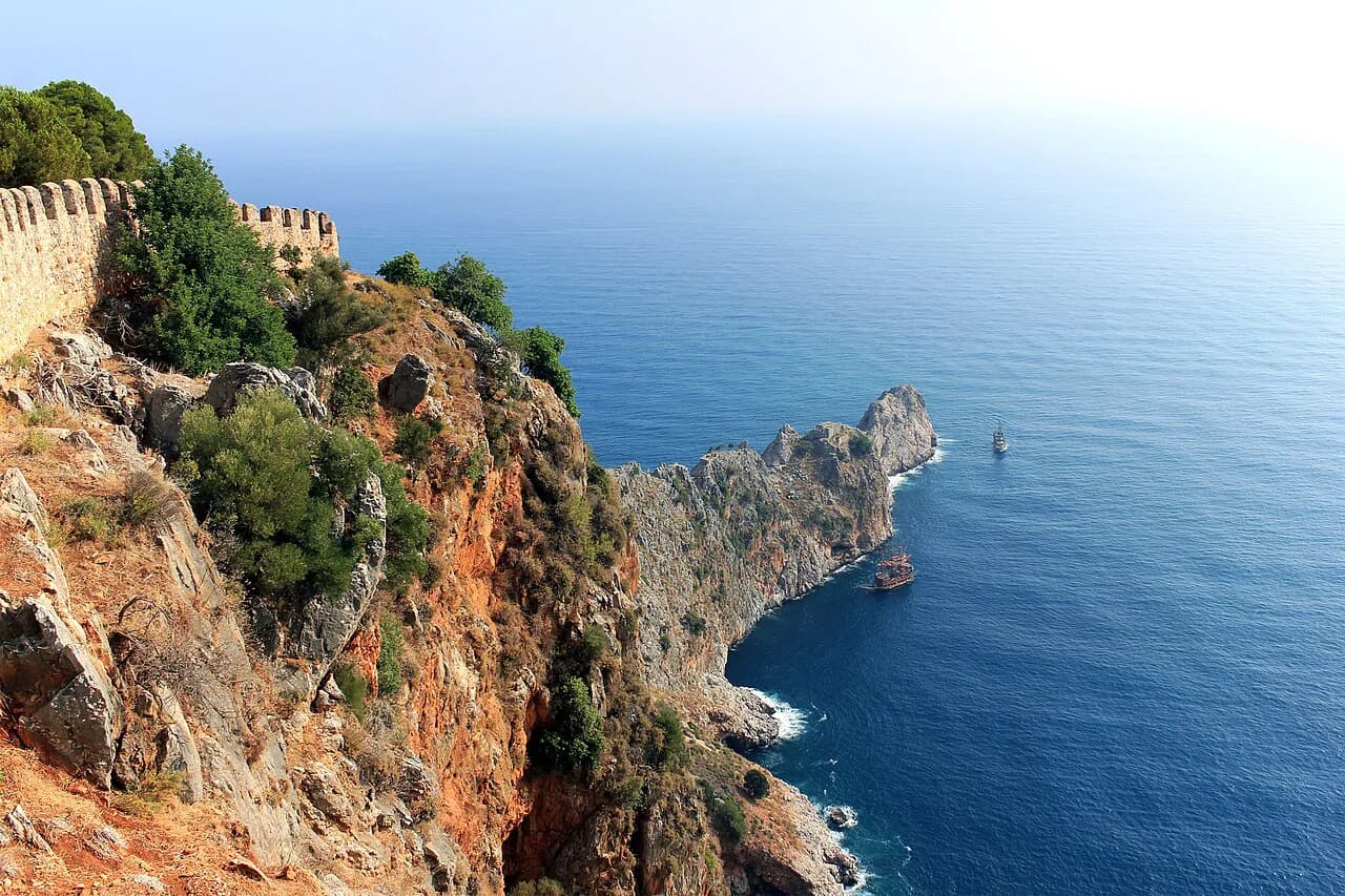
Alanya sits on a small peninsula with the Taurus Mountains to the north and the Mediterranean to the south, so almost every map you pick up reads as one finger of rock pointing at the sea. The old town, the harbour and the main cluster of sights sit on that peninsula; the beach front and the resort districts run away from it along the coast. This guide covers what each part of the map means for a visitor, the distances from Antalya and its airport, and how to move between them.
The distinction that matters when you are booking is that Alanya is a district of Antalya province, not Antalya city. A transfer booked to 'Antalya' is a long road journey away from an Alanya hotel, so check the destination on the map before you confirm anything.
What the Alanya map shows at a glance
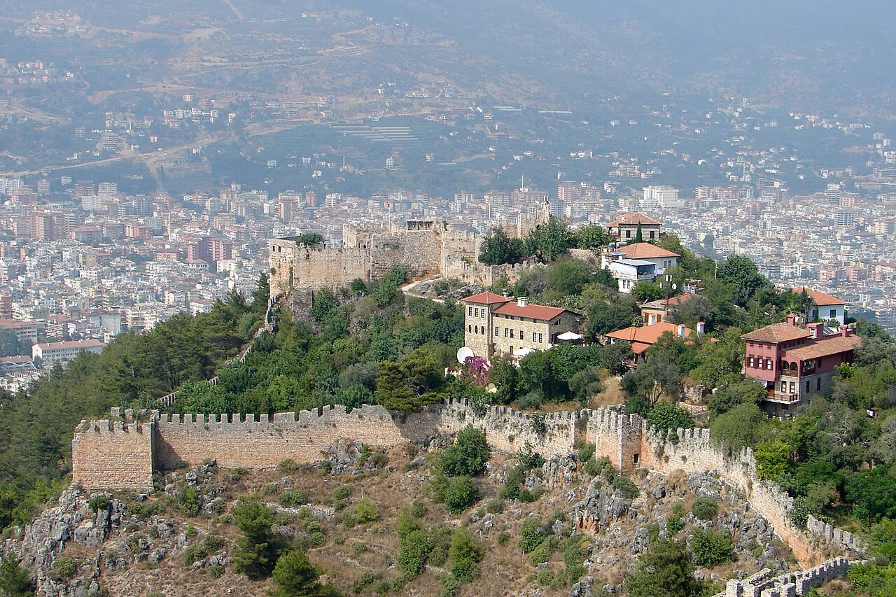
Alanya occupies a small peninsula with the Taurus Mountains behind it to the north and the Mediterranean to the south, which is why the town's map is long and narrow rather than a neat grid. The castle-topped point and the harbour curve beneath it form the centrepiece, and most named sights sit on or near that peninsula.
The populated districts spread well beyond the centre, with Avsallar, Cikcilli, Çıplaklı, Demirtaş, Emişbeleni, Güzelbağ, İncekum, Kargıcak, Kestel, Konaklı, Mahmutlar, Oba, Okurcalar, Payallar, Tosmur and Türkler all listed as part of the wider district. When a hotel confirms its address, match the district name against your map app before booking the transfer, because two places with similar names can be a long way apart.
The district's own map material lists the surrounding neighbourhoods and puts Gazipaşa and Manavgat on either side of Alanya. That coastal line is the single most useful thing to remember: the peninsula is walkable, and everything else is a run along the coast in one direction or the other.
Where Alanya sits on the wider Antalya map
On a provincial map, Alanya is one district of Antalya province, set on the Gulf of Antalya on the coastal plain of Pamphylia. Antalya city, the province's capital and its main airport, lies a long way west along the same coast. Travellers who treat the two as interchangeable end up with the wrong transfer, so make the distinction early.
Antalya itself is described as a large tourism province on the Mediterranean, ringed by high mountains on three sides and known for its banana and orange groves. That gives you a sense of scale: Alanya is a resort town within a much bigger province, not a suburb of the city.
Distances that matter: Antalya, the airport and the centre
Antalya to Alanya is given as 135 km, or about 2 hours 47 minutes by road. The road distance from Antalya airport to Alanya is listed separately at 127 km, or about 2 hours 51 minutes. Treat both as indicative road figures rather than live traffic times, because the coastal route slows in summer.
Within Alanya's district map, the gap between Gazipaşa airport and the town centre is put at 45.8 km, roughly 51 minutes. Gazipaşa lies east of town, which is why its numbers differ so much from the Antalya airport figures. Check which airport your flight uses before you arrange a pickup.
The castle peninsula and harbour end
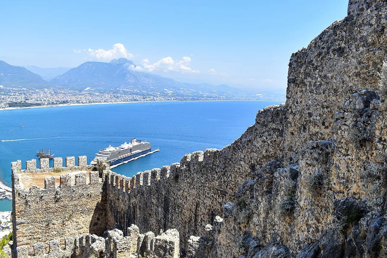
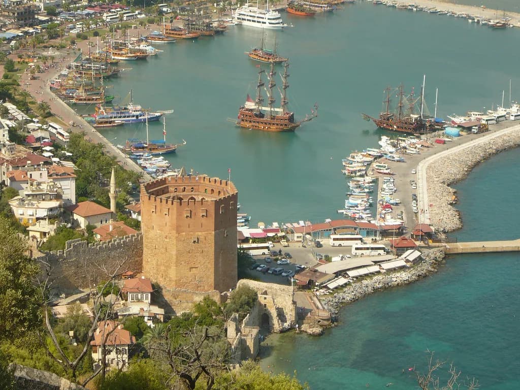
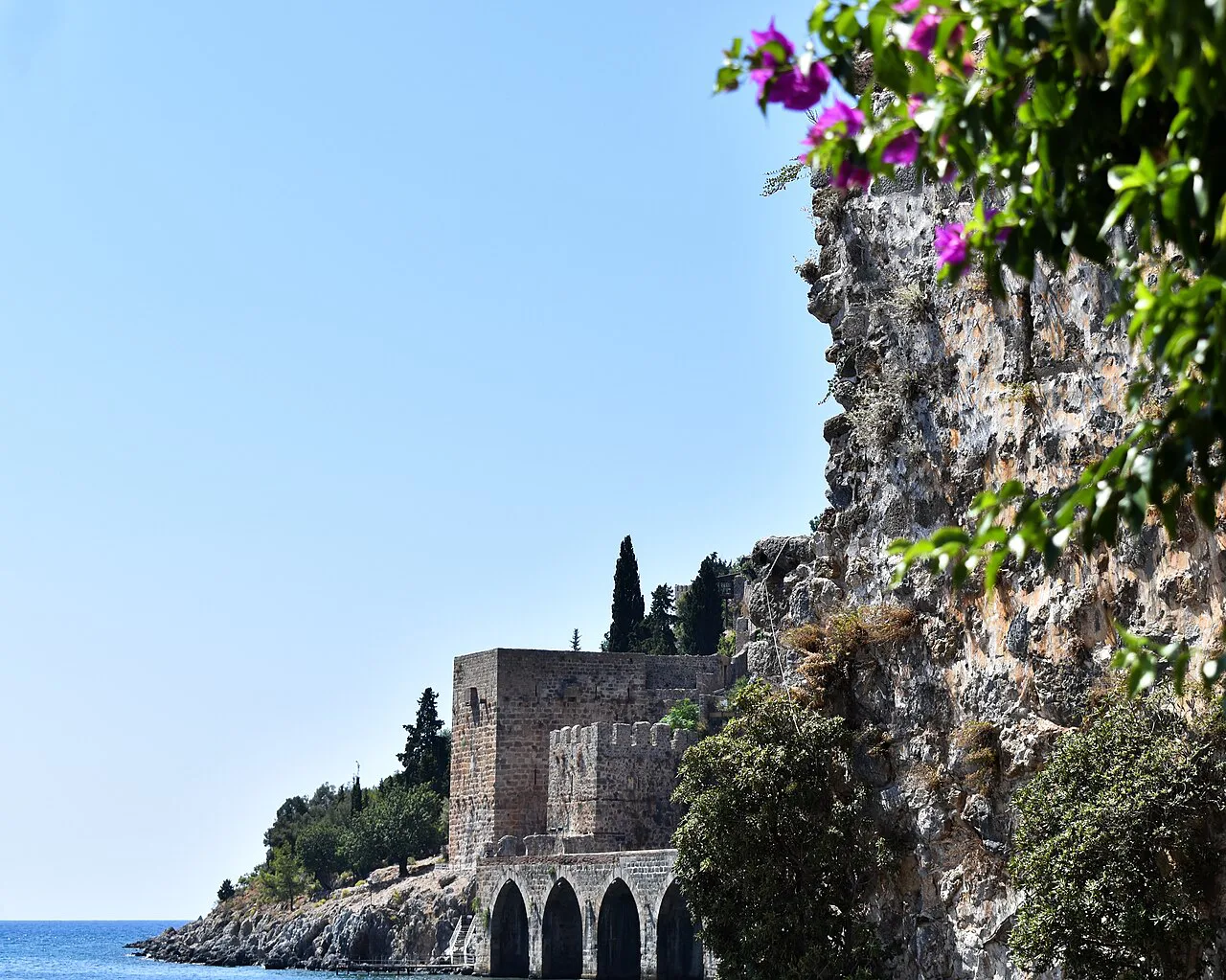
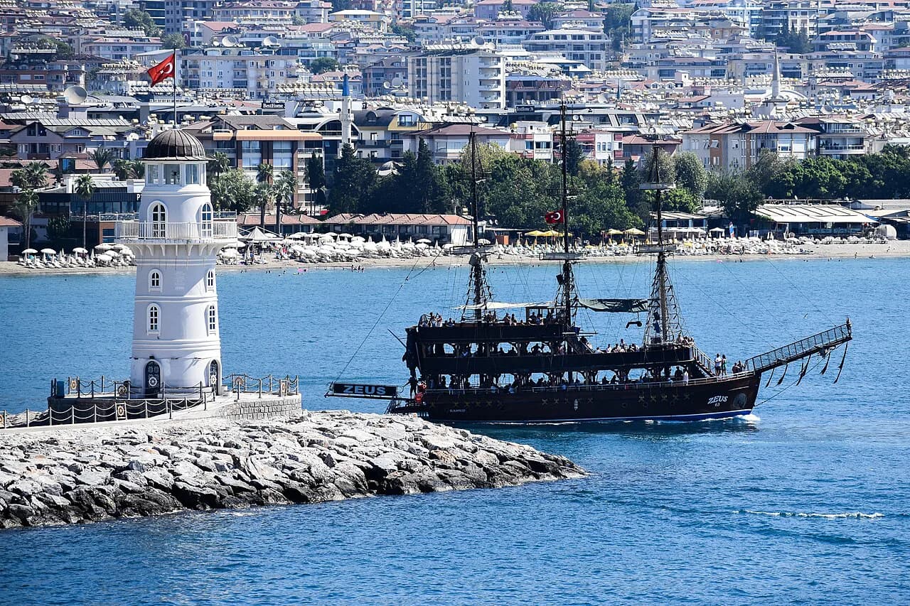
This is the part of the map to study first. Alanya Castle crowns the peninsula, with the Red Tower and the Alanya Lighthouse at the harbour below it, and the Alanya Archaeological Museum nearby. Damlataş Cave sits on the western flank of the same point, close enough to combine with a harbour walk.
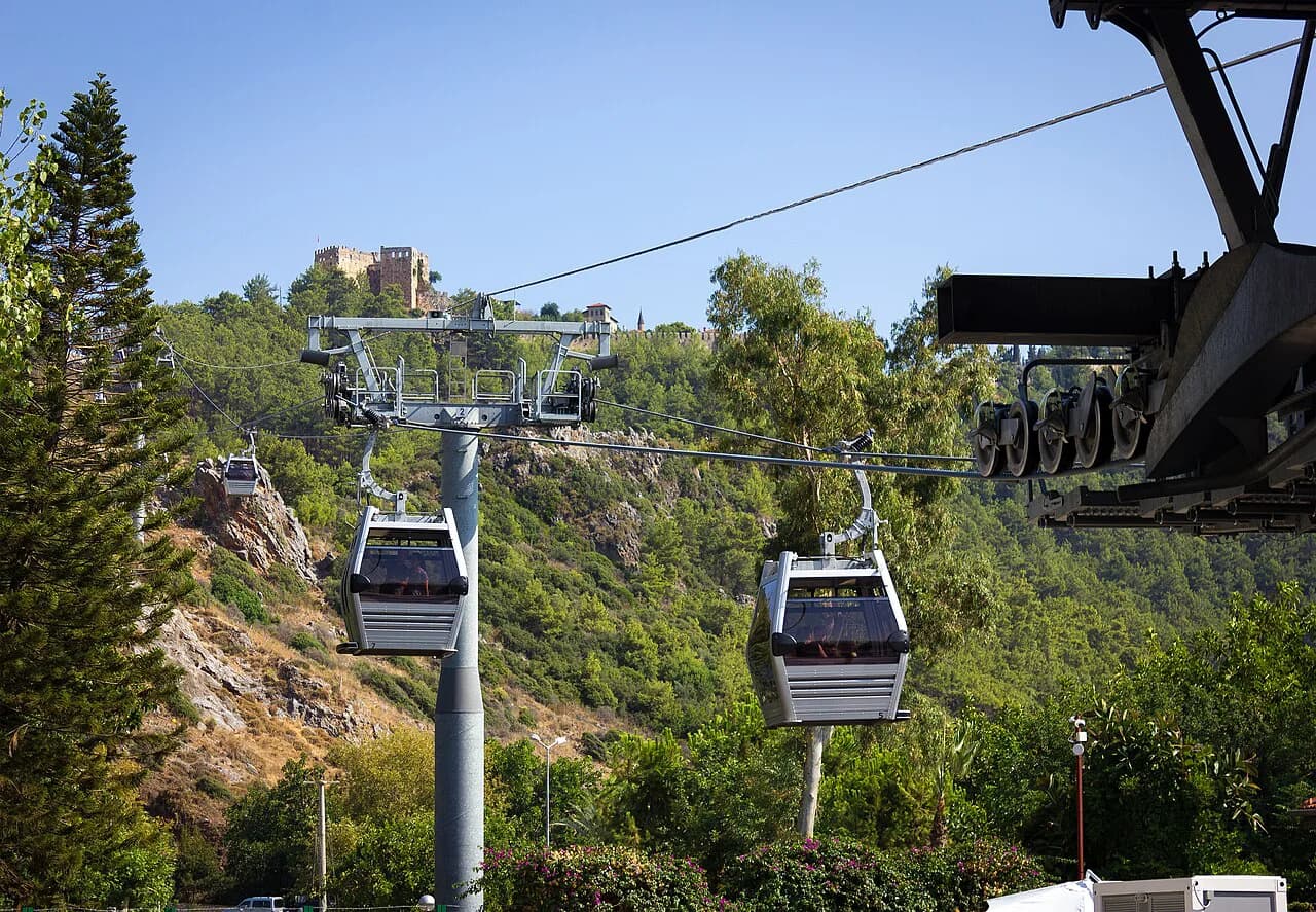
The tourist map also marks the cable car on the same peninsula, so you can plan the castle, the harbour and the museum as one half-day on foot, then decide separately whether the cable car earns its place.
If you want the detail behind these names, the things to do in Alanya guide covers each sight on the peninsula in turn, including Kleopatra Plajı and the streets around the harbour. Read it alongside the map so you know which cluster you are heading for.
The beach front and the streets behind it
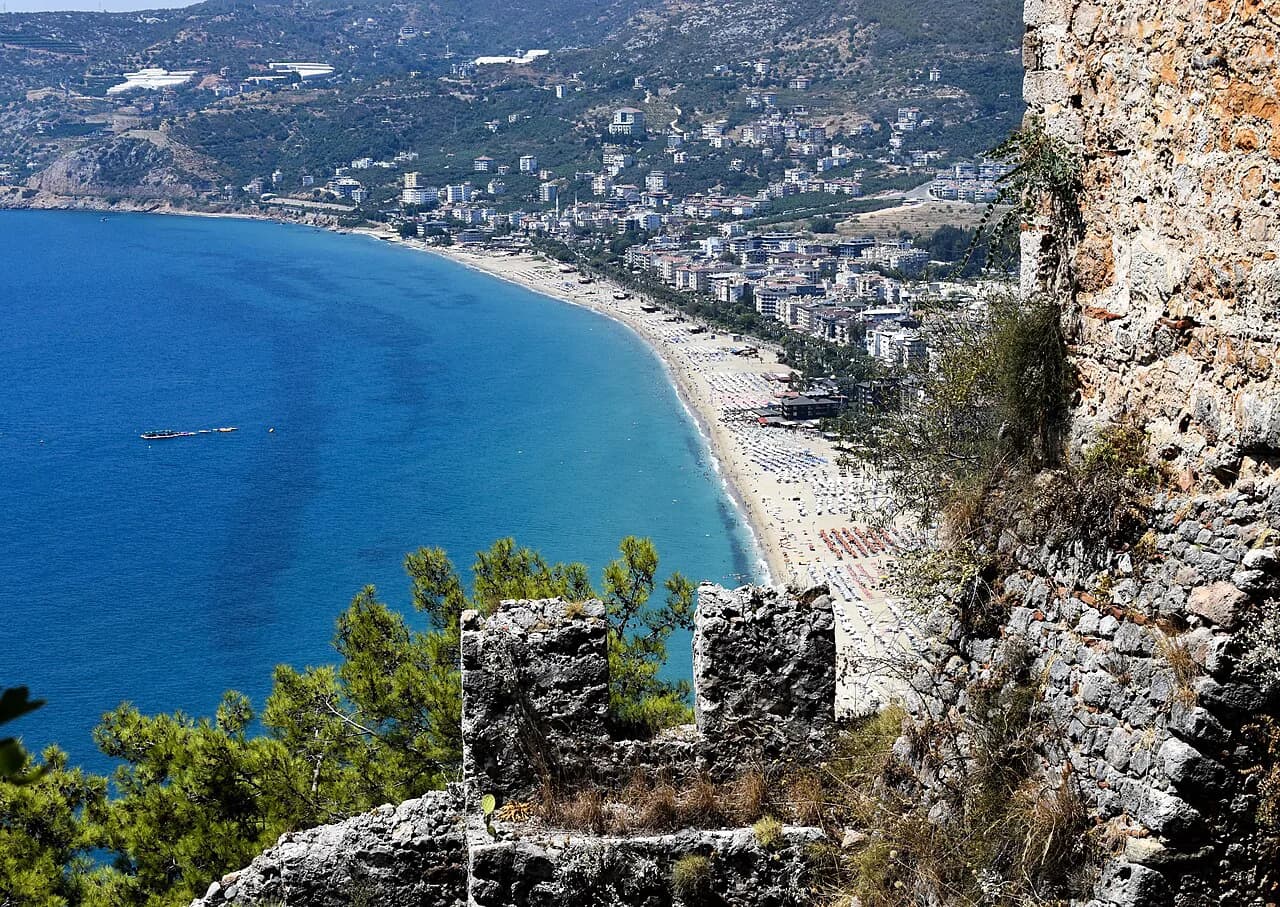
Kleopatra Beach runs along the western side of the peninsula, and on the map it is the obvious seam between the old town and the newer streets behind the shore. The beach front and the harbour are close enough to walk between, which makes a single loop of castle, harbour and shore realistic for most visitors.
Behind the beach the streets turn inland towards Oba and Cikcilli, both listed among the district's neighbourhoods. Addresses here are usually given with the neighbourhood name, so pin the district first and the street second when you are planning a walk or a taxi.
For the shops, markets and bazaars that fill these back streets, the Alanya grand bazaar and Alanya market pages pick up where the map leaves off, with the named halls and stalls worth finding. Neither replaces a map, but they tell you what to look for once you are there.
The resort districts on the Alanya map
West and east of the centre, the map fills with resort districts: Konaklı, Mahmutlar, Avsallar, Türkler, Oba, Kargıcak, Kestel and Payallar among them, with Okurcalar, İncekum and Demirtaş further out. Each is a separate pin on the map with its own stretch of coast, and the distances between them are driving distances, not walking ones.
That matters when you choose a base. A hotel in Mahmutlar or Konaklı puts you on the coast but away from the castle peninsula, so you will be using transport for the old town rather than strolling to it. Check the district against the peninsula on your map before you commit.
Getting around without a car
Central Alanya rewards walking: the peninsula, harbour, castle and beach front sit within one continuous area, so you can leave the car or bus out of the day entirely. For the resort districts and the airport run, plan on road transport, and confirm the pickup point on the map rather than a landmark name.
AlanyaLovers keeps a maps page with separate views for the Turkey map, the Antalya and Alanya airports and the old districts against the new neighbourhoods. That last view is the one to open when you are working out whether your hotel is in the centre or out along the coast.
Beyond the map, the Alanya Attractions: 4 Visitor Guides hub groups the named sights so you can see what sits close together before you fix a route. Use it with the district map rather than instead of it.
Paper maps, phone maps and what a tourist map adds
A phone map is enough for streets and directions, but it will not tell you which cluster of sights belongs together. A tourist map of Alanya plots the attractions by area, which is how you spot that the castle, Red Tower, lighthouse and museum sit on one peninsula and the beach on its other side.
Download an offline copy before you fly, then pick up a paper version from your hotel for the old town, where the lanes are narrow and a folded map is easier than a screen. Compare two and keep the clearer.
Maps for the day trips beyond Alanya
Several places visitors lump in with Alanya need a different map entirely. Side and Manavgat Waterfall lie along the coast, Dim Cave and Sapadere Canyon sit inland, and each appears as a separate marker on a regional map rather than on a town plan.
Plan those as day trips with a road distance in mind, and check the return leg before you set off. Syedra and Anemurium appear on the same regional attraction lists, which helps you judge what fits in a single day from Alanya.
Which part of the Alanya map do you actually need?
Start with the peninsula: castle, harbour, Red Tower, lighthouse and museum sit together, with Kleopatra Beach on the western side and Damlataş Cave close by. That cluster is the reason most people come, and it is walkable in a single day.
Then decide whether your base is in the centre or out in a resort district such as Konaklı, Mahmutlar or Avsallar, because that choice sets how much of the map you will cover on foot. Sort out the Antalya and Gazipaşa airport distances before you book a transfer, and keep the district names straight.
Explore more Alanya guides
Frequently Asked Questions
Is Alanya the same as Antalya?
No. Alanya is a district of Antalya province, sitting on its own peninsula on the Gulf of Antalya. Antalya city and its main airport lie a long way west along the same coast, so a transfer booked to Antalya is not the same as one booked to Alanya.
How far is Alanya from Antalya and its airport?
Antalya to Alanya is listed at 135 km, about 2 hours 47 minutes by road, and Antalya airport to Alanya at 127 km, about 2 hours 51 minutes. The district's map material puts Gazipaşa airport 45.8 km from the town centre, or roughly 51 minutes. Treat these as indicative road figures and check the route before you travel.
Which part of Alanya should I stay in to see the sights?
The castle peninsula holds the castle, Red Tower, lighthouse, archaeological museum and, on its western side, Kleopatra Beach and Damlataş Cave. Staying in or near the centre puts that cluster within walking distance, while the resort districts of Konaklı, Mahmutlar and Avsallar sit further along the coast and need road transport.
Sources
Notes for your next Turkey trip
Optional updates when we add or correct a town guide.
You might also like
Continue reading
More guides you'll find useful