İçmeler Map: How the Resort and Harbour Fit Together
An İçmeler map shows a compact resort 8 km west of Marmaris, with water taxis to Marmaris and Amos and a walkable seafront, shops and weekly market.
On this page
İçmeler is small enough that most of a map of the resort is a walking map: the place is described as compact enough to explore thoroughly on foot, and it sits about 8 km west of Marmaris on the Datcha Peninsula. That single road distance and the Dalaman airport link are the two anchors for orientation. This guide covers what you can plot on a local map, what needs a wider Muğla or Marmaris map, and which points on the ground to find before you arrive.
What an İçmeler map shows you at a glance
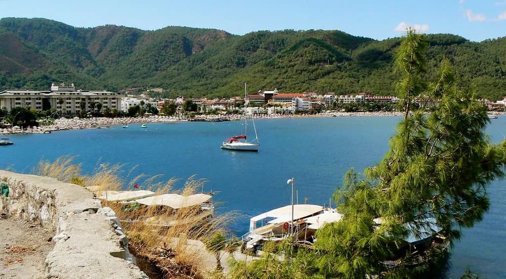
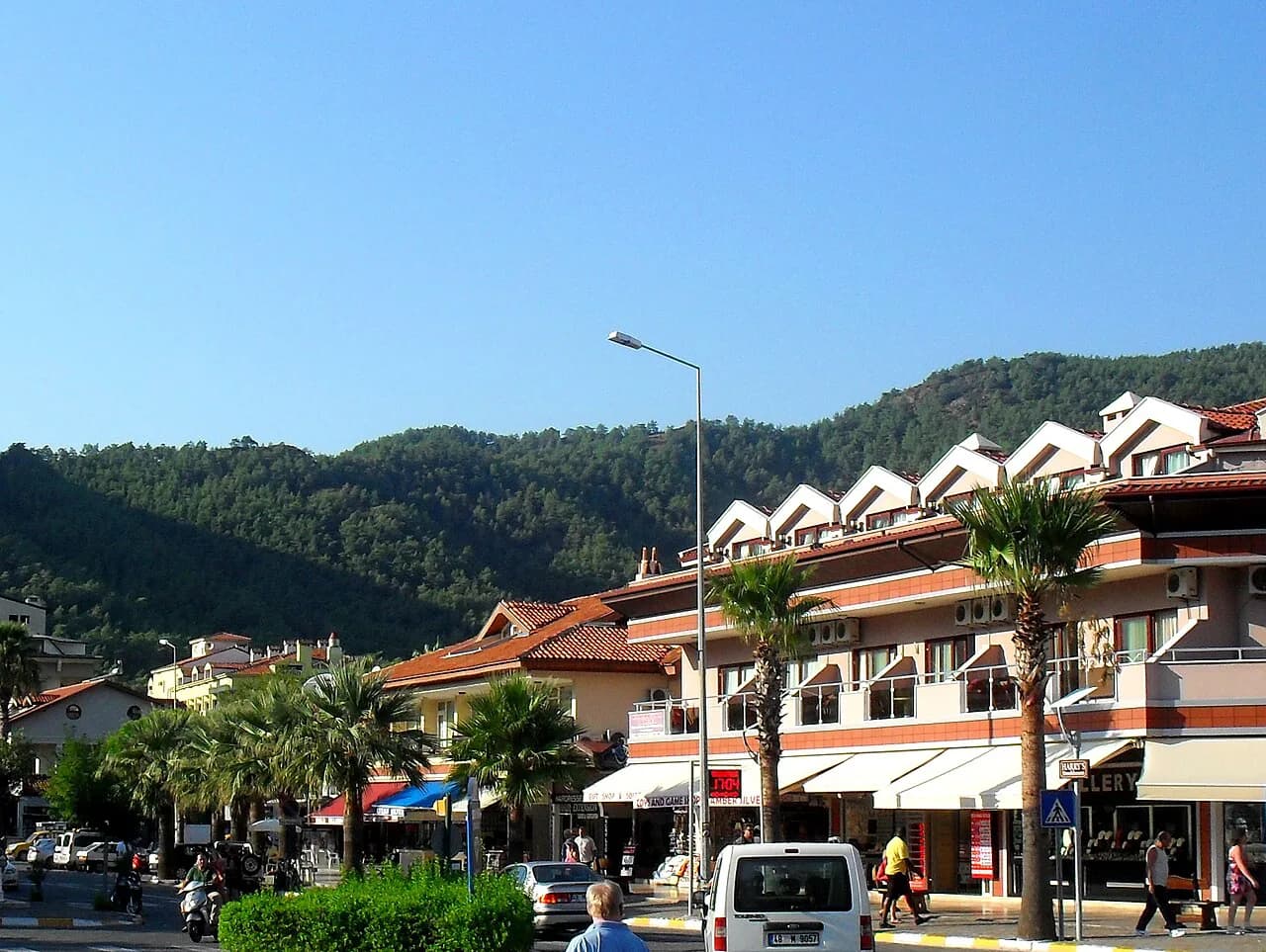
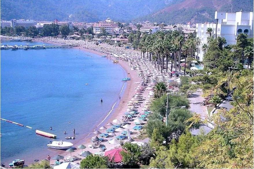
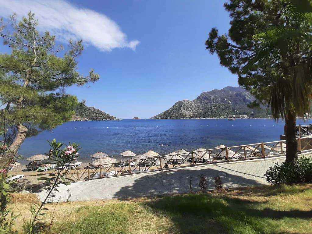
At resort scale, the map is a strip of seafront backed by pine-covered slopes, with accommodation, shops and eating places packed into a small area behind the shore. The settlement is described as a former fishing village that grew into a resort over roughly fifteen years, and it is presented as quieter than Marmaris. Treat your map as a way of linking the waterfront to the streets behind it.
Note the coastline first, then the route inland to your accommodation, because the town's small size means almost everything else is a short walk from the sea. A dolmuş or taxi is only really needed for trips out to Marmaris or beyond.
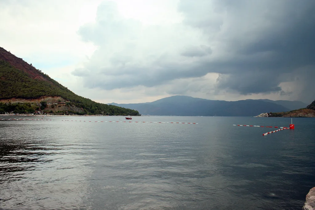
Where İçmeler sits in the wider Marmaris and Muğla area
On a regional map, İçmeler belongs to the Marmaris district of Muğla province and lies on the Datça Peninsula, part of the stretch marketed as the Turkish Riviera. The 8 km gap to Marmaris is the key measurement: close enough for a day out in town, far enough that İçmeler keeps its own rhythm.
Zoom out further and you are plotting Muğla province as a whole, with Marmaris as the nearest larger town and Dalaman as the airport that serves the area. A regional map is the right tool for judging whether a day trip makes sense, since Pamukkale, Ephesus and Rhodes all sit well beyond the local road network.
Getting there: Dalaman airport and the road from Marmaris
İçmeler is served by Dalaman Airport, which connects to major cities by air, and transfers from the airport run by bus, shuttle and taxi. Flight routes and journey times vary by season and operator, so confirm them with your airline or transfer company rather than reading them off a map.
If you are coming from Marmaris for the day, plot the 8 km road link on a regional map and treat the water taxi as the scenic option in the other direction. Water taxis also connect İçmeler with the nearby resort of Amos.
Getting around on foot
Most orientation in İçmeler is done on foot, because the resort itself is small enough to be explored thoroughly that way. That makes a phone map more useful than a paper one for most visitors: mark your accommodation, the seafront and the market in advance, then walk between them without needing street names. Ask at your accommodation or a local shop for a paper copy if you prefer one.
Water taxis, boat landings and crossings to Marmaris and Amos
Boat travel is the part of the map that matters most beyond walking. Water taxis run between İçmeler and both Marmaris and Amos, giving you a coastal route that avoids the road entirely. Confirm locally that a service is running on your dates before you plan a crossing around a particular time, and find the landing on your first day.
İçmeler also offers a range of boat trip options, from private boat hire to day-long excursions with multiple swimming stops and trips aimed at specific destinations. Ask at the harbour or your accommodation about what is running during your stay, since itineraries and departures change with the season.
The seafront, pine-backed streets and Ottoman-style houses
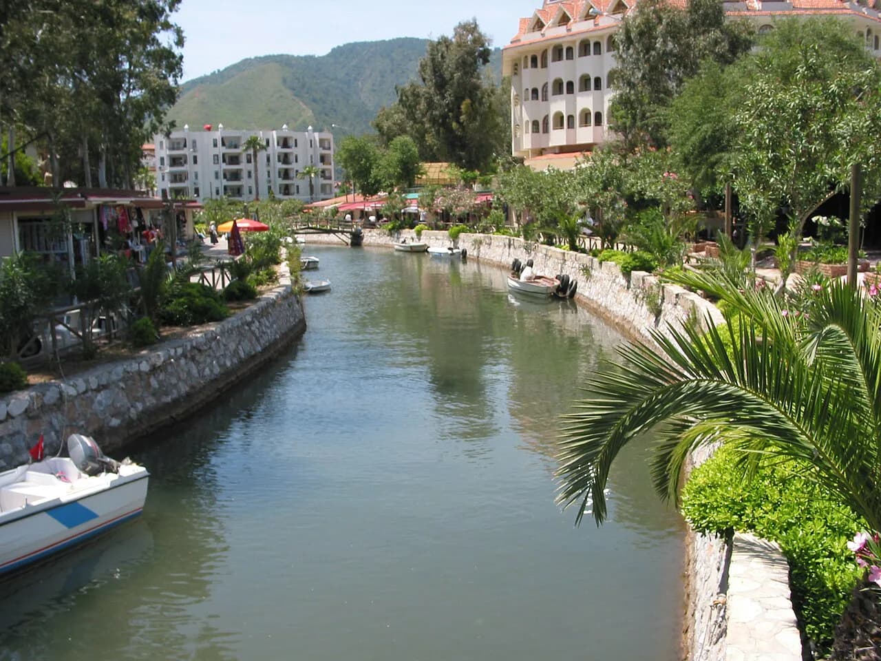
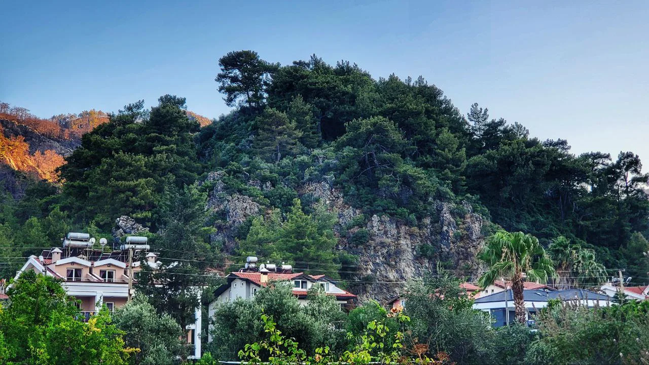
The resort reads on a map as greenery stitched around a shoreline: pine, palm, eucalyptus, olive and fruit trees are all part of the landscape, and the town is described as little Ottoman-style houses grouped together across it. That mix explains why the built-up area looks patchy from above — trees break up the streets, and the seafront is the clearest line on any map.
Plot your accommodation relative to the shoreline rather than to a named street, because the appeal is in the small lanes behind the front. A short walk inland reaches the shops and restaurants; a short walk seaward reaches the boats. The Things to Do in İçmeler beyond the seafront are covered separately, so your map only needs the landmarks that help you move around.
The Wednesday market: where to find it
İçmeler holds its weekly market on Wednesdays, according to the destination guide for the resort, with handicrafts, art, textiles, carpets and jewellery among the goods on sale. Market days can shift, so confirm the day locally when you arrive rather than building your whole trip around it.
For a market day, sketch a walking route from your accommodation and leave the rest of the day free for the seafront. Haggling is normal, but the same guide warns against pushing a shopkeeper to an embarrassingly low price; thank them and walk away politely if the price does not suit. The icmeler market page covers the stalls in more detail.
Food and drink around the resort
Typical Turkish cooking is widely available, with köfte and şiş kebabs named as local staples, alongside places known for steaks and burgers and a restaurant serving Turkish cuisine. Several restaurants hand out a voucher for a future visit that covers everything except alcohol, so ask when you pay. Plot two or three options near your accommodation so you are not walking far after dinner.
Day trips you can plot from İçmeler
Pamukkale, Ephesus and Rhodes are all named as trips to make from İçmeler, and each needs a different kind of map: a regional road map for the inland sites and a ferry map for the Greek island crossing. Plan these as full days and check departures, tickets and crossing times with the tour company or ferry line you book through, because schedules vary by season.
Because these trips sit well outside the local area, keep a separate saved list for them, with the company, meeting point and return time for each, and leave the resort map for the days you are staying local.
Boat trips and jeep safaris on the map
The resort has several boat trips and jeep safaris available, which are the two excursions that start closest to your accommodation and so belong on your local map. Boat trips leave from the waterfront, so find the landing early in your stay; jeep safaris usually collect from accommodation, so confirm the pickup point when you book. Both are seasonal, so ask locally about what is running.
Printed street maps and offline maps on your phone
Good printable street maps of İçmeler and Marmaris are not easy to find online, and travellers have asked where to pick up a printed map locally. That makes your phone the practical tool: download an offline map of the Marmaris area before you fly, drop pins on your accommodation, the waterfront, the market and the boat landing, and you will have what you need without a signal.
Google Maps coverage of the resort is a reasonable starting point for streets and the coastline, and you can save the area for offline use before you travel. The Shopping in İçmeler guide is a better guide to what is on offer than any map pin, so use it alongside the map when planning where to browse.
Which map do you actually need?
For most of a stay in İçmeler, a saved offline map and a short saved list — accommodation, seafront, market and boat landing — will do more than any printed plan. Add a regional map only for the road link to Marmaris and the Dalaman airport transfer, and a separate list for day trips to Pamukkale, Ephesus and Rhodes.
Explore more Icmeler guides
Frequently Asked Questions
Is İçmeler walkable?
Yes. İçmeler is a compact resort that can be explored thoroughly on foot, with the seafront, shops and eating places close together. A dolmuş or taxi is only really needed for trips out to Marmaris or beyond.
How far is İçmeler from Marmaris?
İçmeler sits about 8 km west of Marmaris on the Datça Peninsula. You can travel between the two by road or by water taxi.
How do you get to İçmeler from Dalaman Airport?
Dalaman Airport serves the area, with transfers to the resort by bus, shuttle and taxi. Compare operators and confirm your pickup point in advance, since services and timings change with the season.
Can you get a boat from İçmeler to Marmaris?
Water taxis link İçmeler with Marmaris and with the nearby resort of Amos. Confirm locally that a service is running on your dates before you plan a day around it.
Sources
Notes for your next Turkey trip
Optional updates when we add or correct a town guide.
You might also like
Continue reading
More guides you'll find useful