Marmaris Map: Old Town, Harbour and Beach Areas Guide
Use this Marmaris map guide to place the old town, marina, Uzunyali beachfront, Armutalan, İçmeler and Turunç, with walking times between them.
On this page
Marmaris is a port town and resort on the Mediterranean coast in Muğla Province, southwest Turkey, on the shoreline of the Turkish Riviera. On a map the name covers a wide spread of districts rather than a single centre, so the pin you choose changes your trip. This guide lays out old Marmaris, the marina, the Uzunyali beachfront, Armutalan, Beldibi, İçmeler and Turunç as they appear on the map, with the walking and driving times between them.
What a Marmaris map shows at a glance
The town spreads across four municipal regions, and adding Turunç makes five areas that are all called Marmaris in everyday use. That is why someone heading for İçmeler says they are going to Marmaris, and why a booking close to the marina may still leave you a taxi ride from the beach. Read the map by area first and by street second.
A tourist map with streets, districts and the main cultural sights marked is the most practical paper version to carry, and the digital versions let you drop pins on the places you plan to visit. Load one offline on your phone before you travel so a weak signal along the waterfront does not strand you.

The centre on the map: old Marmaris, the marina and Bar Street
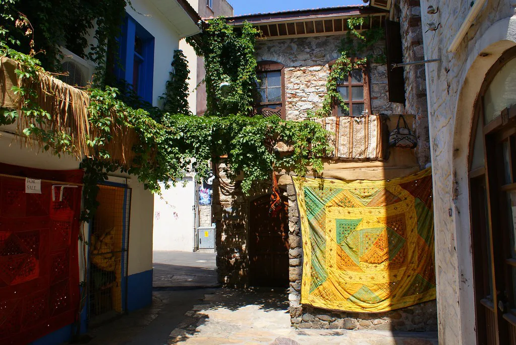
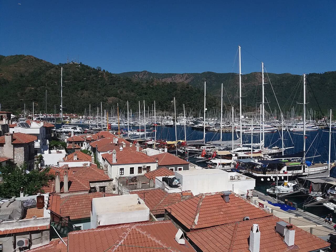
Old Marmaris and the downtown section hold the marina, the shopping and Bar Street, and this is the one part of town where you can walk between a harbour berth, a café and the bazaar without transport. It has few hotels, so treating the centre as somewhere to visit rather than to sleep is the realistic reading of the map. Bar Street is only worth marking as a district if you want to be within walking distance of it.
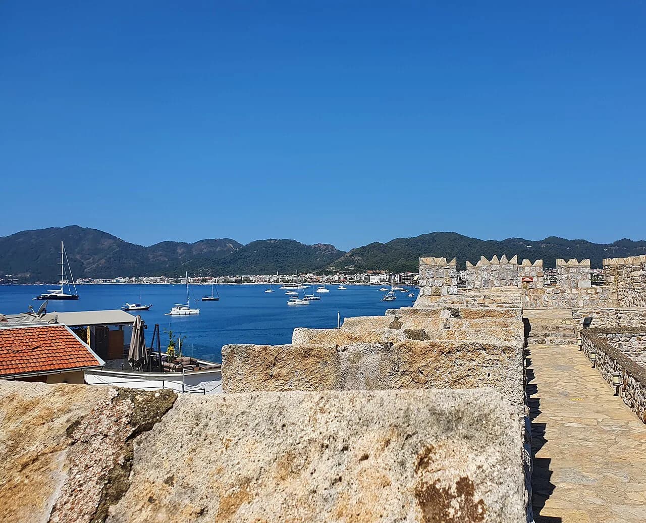
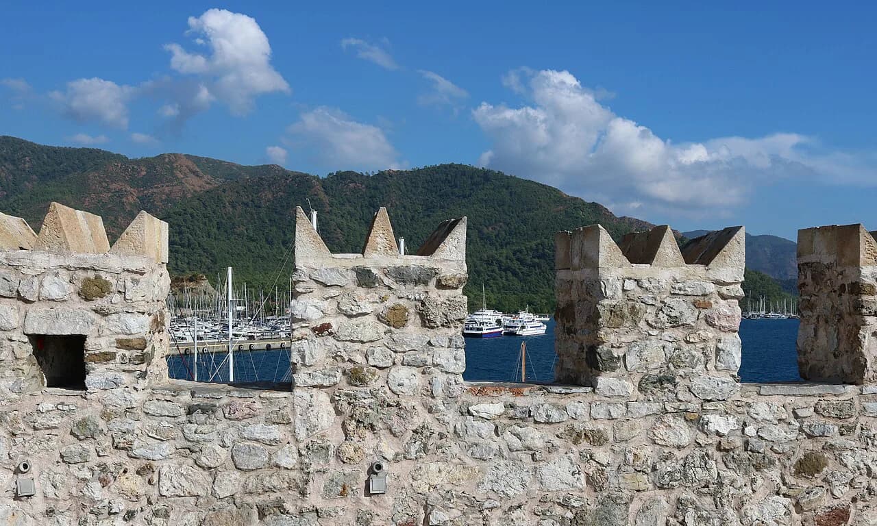
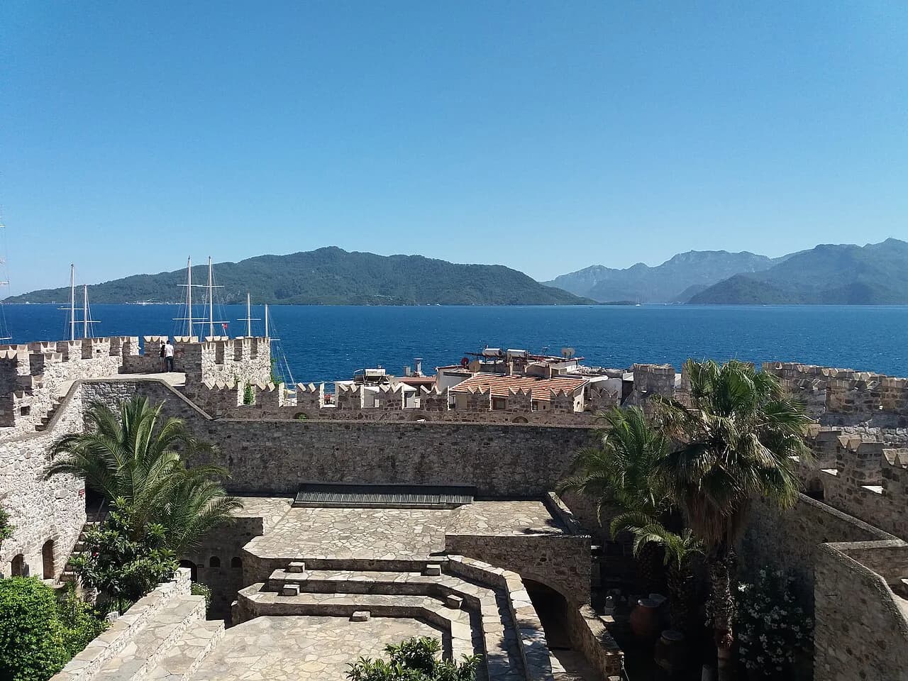
For sightseeing in the centre, the castle above the harbour is the obvious anchor, with the bazaar streets behind it worth an hour of wandering. Build the rest of the day around the things to do in Marmaris rather than zig-zagging back to the marina.
Long Beach (Uzunyali) and the promenade
Uzunyali, known as Long Beach, forms the beachfront stretch of the long promenade that runs from İçmeler to Marmaris Marina. Hotels, restaurants, cafés and bars line the walkway, and the main road through the area also leads on to İçmeler and Turunç. On the map this is the strip to pick if you want beach on foot and the centre a short dolmuş ride away.
Western districts: Armutalan, Beldibi and the forest section
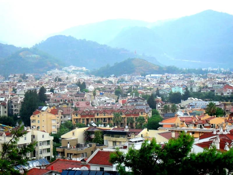
Armutalan is the second most popular area around Marmaris for accommodation, quieter than the beach front and spread with bars and restaurants of its own. Depending on which side of Armutalan you are on, the walk to the waterfront takes between 20 and 40 minutes, so budget for that or plan on the dolmuş. Beldibi is mostly residential and business with a few hotels, and the section beyond the Günnücek forest holds resort hotels set back from town.
İçmeler and Turunç on the wider map
İçmeler lies about 6 km from Marmaris, roughly a 10-minute drive, and Turunç is about 45 minutes away by road. Both are resorts in their own right with beaches, restaurants, promenades and hotels, and both are quieter than the centre. What you give up is the nightlife around Bar Street, which means a taxi or dolmuş back if you want it.
Walking the seafront promenade end to end
The seafront promenade runs from one end of İçmeler to the far end of Marmaris Marina, and walking it end to end takes about two hours. Coffee shops and outdoor exercise parks sit along the route, so it works as a half-day outing rather than a quick stroll. Do it one way and take the dolmuş or a taxi back.
Getting around without a car
Within the centre, walking covers old Marmaris, the marina and the bazaar streets. For Uzunyali, Armutalan, İçmeler and Turunç, the dolmuş minibus and taxis do the work, and the promenade gives you a walking route along the coast between the beach strip and the marina. Ask your accommodation which dolmuş route passes closest, because the answer changes with each district.
If you want a printable layout of the harbour, squares, marinas and shopping areas before you arrive, an interactive city map marks these categories so you can see how they cluster. Use it to plot your first afternoon, then switch to a phone map once you are on the ground.
Marking places before you go
Pin the marina, the castle, the bazaar streets and your own hotel first, then add the beachfront strip and any day out you have planned. Marking the Marmaris grand bazaar alongside the marina shows how tightly the centre packs together, which keeps you from over-scheduling transport. Leave a gap for the promenade walk rather than treating it as a filler.
Shopping is part of the centre's draw, and knowing where the market and bazaar streets sit on the map saves a lot of walking. Read up on shopping in Marmaris before you set out so the leather shops, spice stalls and Turkish carpets are on your route rather than a detour.
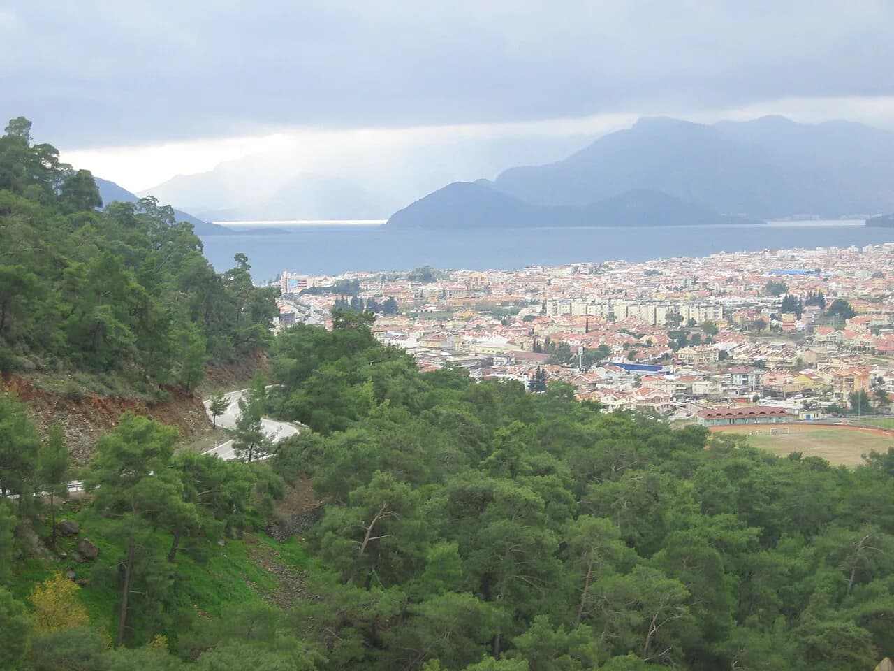
A regional map of the area around Marmaris is useful for seeing how the resort sits against the coast and the surrounding hills. Save one offline alongside your street map, because the wider view explains why some districts feel removed from the centre.
Which part of the map suits a short break and which suits a quiet base
For a short break, the centre and Uzunyali put the marina, the castle and the beach within easy reach, and you trade quiet for convenience. Armutalan and İçmeler suit travellers who want a calmer base and accept a 20–40 minute walk or a dolmuş ride to the waterfront and the centre. Turunç is the furthest option and the most removed from town.
If you are still weighing whether the resort suits you at all, our piece on whether Marmaris is worth visiting sets out what the town offers beyond the beach. It helps to settle that question before you fix a district on the map.
Which pin should you drop on the map?
Choose your district before your hotel: centre and Uzunyali for walking access, Armutalan and İçmeler for a quieter base with a short ride into town, Turunç for the furthest remove. Then mark the marina, the castle, the promenade route and the bazaar streets on one map and plan each day around them.
Explore more Marmaris guides
Frequently Asked Questions
Where is the main part of Marmaris?
The downtown and old Marmaris section around the marina holds the shopping, Bar Street and the harbour, and it is the part most visitors mean by the centre. It has few hotels, so most people stay in Uzunyali, Armutalan or İçmeler and travel in.
What towns are near Marmaris?
İçmeler sits about 6 km away, roughly a 10-minute drive, and Turunç is about 45 minutes by road. Both are resorts in their own right with beaches, restaurants and promenades, and both are quieter than central Marmaris.
Sources
Notes for your next Turkey trip
Optional updates when we add or correct a town guide.
You might also like
Continue reading
More guides you'll find useful