Kalkan Map: Old Town, Harbour and Neighbourhoods Explained
A visitor's map guide to Kalkan: the Old Town and harbour, the hillside neighbourhoods, realistic walking times into town and where the D400 crosses the town.
On this page
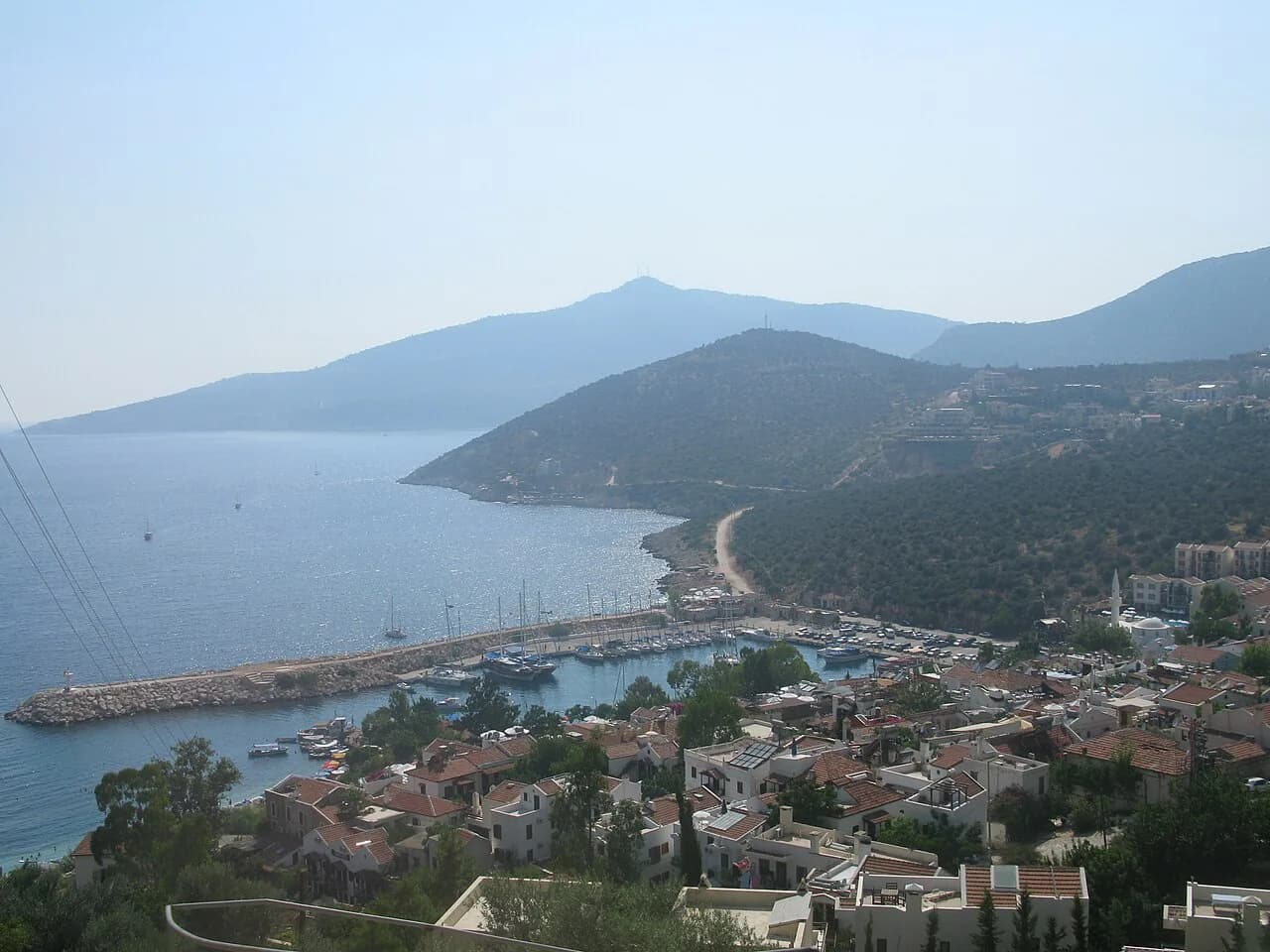
The quickest way to read a Kalkan map is vertically: the harbour and Old Town sit at the bottom, and the neighbourhoods climb the hillside to the D400 highway at the top. Once you see the town that way, the steep streets, the 25–30 minute walks and the taxi journeys all make sense. This guide lays out each area, the road times to the airport and nearby beaches, and how to get around without a car.
Where Kalkan sits on the map
Kalkan is a coastal town in Antalya Province on Turkey's south-west coast, built on a hillside above the Mediterranean and strung along the D400 highway between Fethiye and Kaş. Approximate road times put Dalaman Airport at about 1 hr 45 min, Antalya Airport at about 3.5 hours, Kaş at about 30 min, Patara Beach at about 20 min and Kaputaş Beach at about 10 min. Use those figures to decide which airport to fly into and which beach fits a half-day.
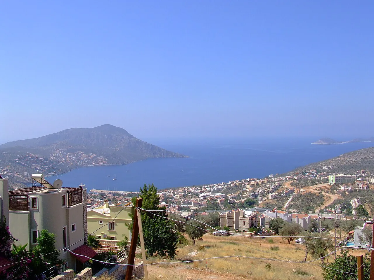
The Old Town and harbour
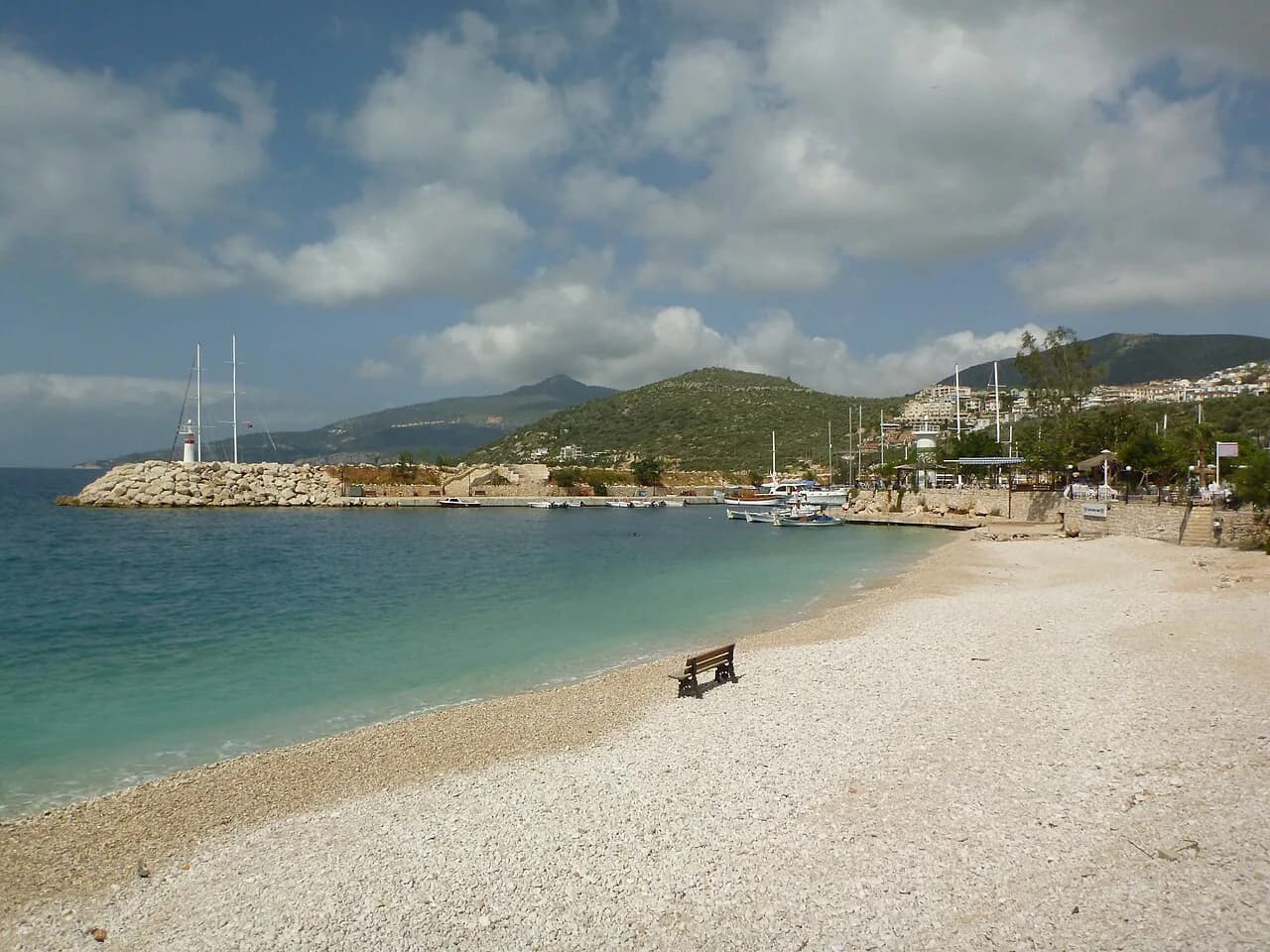
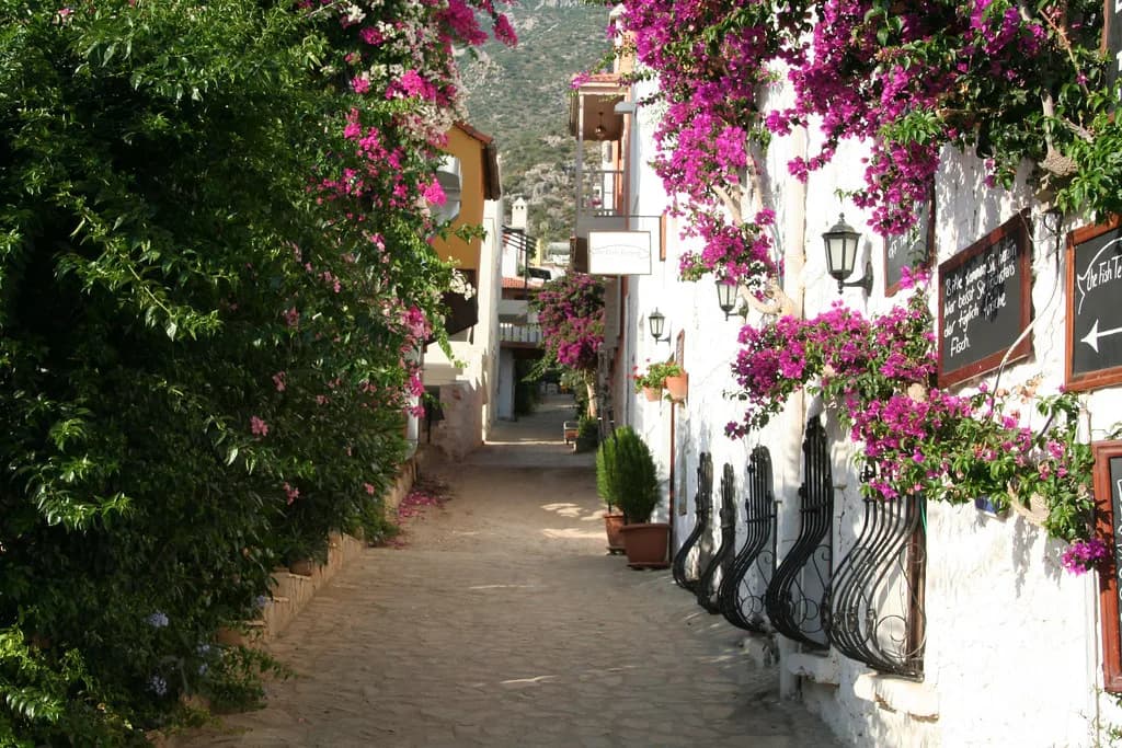
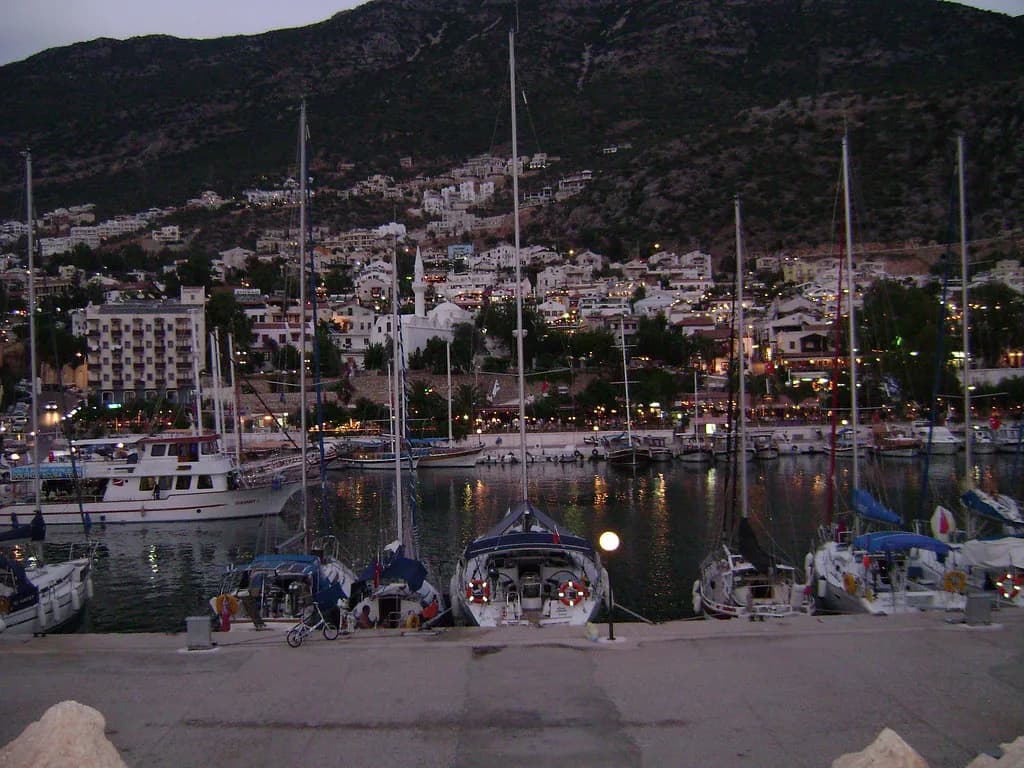
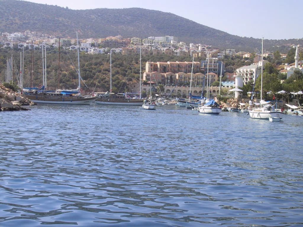
The Old Town and harbour form the vibrant heart of the resort, with cobbled streets, whitewashed houses with wooden balconies and bougainvillea, independent gift shops and rooftop restaurants. A stroll along the harbour wall to the lighthouse gives a view back over the town, and the harbour itself is the departure point for boat tours. The public beach has sunbeds and umbrellas for hire from May to October, and its pebbly surface makes swim shoes worth packing.
The steep, cobbled lanes rising from the harbour hold the cafés and boutiques that make up much of the town's shopping, so allow time to wander rather than treating the Old Town as a single sight. Beyond the harbour wall, Indigo Beach Club and Çakıl Beach Club offer swimming, and two children's play parks sit nearby. If you plan your days around the water and the old lanes, the things to do in Kalkan list fills in the detail.
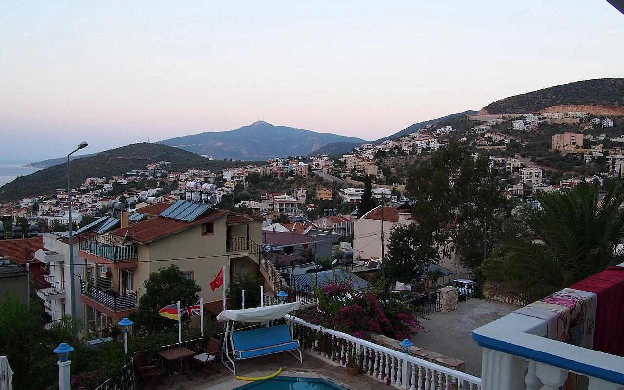
Kömürlük: the beach-club shore
Kömürlük sits between the Old Town and the Club Patara complex, a residential slope of villas and apartments whose shore is lined with beach clubs such as Denizim, Palm and Zest, offering sea access from platforms with sunbeds, umbrellas, restaurants and bars. Many properties here look across the bay towards Mouse and Snake Islands. Walking into town is an easy stroll along a small road parallel to the D400, or you can take a rougher footpath that drops down near the public beach.
Kışla: the steep western slope
Kışla lies at the junction of the D400 and the side road to Club Patara, extending south along Kalkan Bay. Its roads are steep, so taxis are often needed for trips to and from the Old Town, but the position brings west-facing sunsets and the twinkling lights of town after dark. Club Patara offers hotel rooms, villas and apartments with tennis courts, pools and a spa, and its beach club opens to day guests; Villa Mahal's beach club becomes a seaside restaurant in the evening and is reached by a limited boat service. Kalkan Beach Park, with a small shingle beach and water sports, is reached by boat taxi from the harbour, and the neighbouring Green Beach Hotel beach club uses the same service.
Kalamar Bay: the quieter western bay
Kalamar Bay lies west of the centre, a quieter, more residential bay with modern villas, beach clubs and diving spots. It appears on a town map as its own pocket rather than part of the Old Town sprawl, which matters when you are judging how far you will walk each evening. The roads here are steep and taxis are the quick alternative to the climb back from the harbour.
Kızıltaş, Akbel and Kördere: the upper hillside
Kızıltaş, Akbel and Kördere sit high on the hillside, with elevated streets and wide panoramas over the bay. The views come at the cost of gradient: walking from the farthest points of Kızıltaş into the centre takes around 25–30 minutes, and some streets are steep enough that a taxi is the sensible choice. If your villa sits up here, build the climb into your evening rather than discovering it on the first night.
Ortaalan: the belt between Old Town and D400
Ortaalan is the larger part of Kalkan, stretching from the top of the Old Town up to the D400 and out towards Kalamar Bay. It grew as the town expanded beyond its old core and now holds many year-round residents alongside holidaymakers, with villas and apartments on streets near Kalamar Road and on the steeper lanes climbing to the highway. Treat it as the practical middle band of the map: close enough to walk to the harbour, high enough to need a plan for the return.
Walking times and when to take a taxi
Walking from the farthest points of Kışla, Kalamar Bay or Kızıltaş to the town centre takes around 25–30 minutes, and the roads are steep. A taxi makes more sense than walking when you are dressed for dinner, carrying shopping, travelling with young children or heading back uphill after dark. From Kömürlük, the parallel road into town is an easy stroll, while the rough footpath down to the public beach suits footwear you do not mind scuffing.
Getting around without a car
On foot, the Old Town's cobbles and the hillside lanes are the whole point, but they punish thin soles and heat. Taxis cover the climbs, and the harbour serves as the boat-trip departure point, with some beach clubs on the Kışla shore reachable by boat taxi from the harbour rather than by road. Plan boat days around the harbour, since the boat taxi is the way several of those platforms are reached.
Which map to carry
Printed villa and town maps often mark shortcuts and hidden stairs that phone apps miss, which is useful when a lane looks like a dead end. Phone mapping still handles the main roads, the D400 and the drive to Kaputaş or Patara. Carry both: paper for the old lanes, a phone for the road.
Reading the map for your own priorities
Match the map to your evenings and your mornings. The Old Town and harbour suit evenings of rooftop dining and a lighthouse walk, the hillside streets of Kışla and Kızıltaş suit sunset views, and Kalamar Bay suits a quieter base. Shopping and market browsing sit in the old lanes, while the beach clubs spread along the Kömürlük and Kışla shore.
Which part of Kalkan should your map put you in?
Choose by gradient and evening habit: the Old Town and harbour for walking to dinner, Kömürlük for an easy parallel-road stroll and beach clubs, Ortaalan for a central middle band, and Kışla, Kalamar Bay or Kızıltaş for views with a taxi ride attached. Check the current road times and boat services locally before you commit to a daily routine built on them.
Explore more Kalkan guides
Frequently Asked Questions
What is the closest city to Kalkan, Turkey?
Kalkan lies in Antalya Province on the D400 between Fethiye and Kaş, with Kaş about 30 minutes away by road. Dalaman Airport is roughly 1 hr 45 min and Antalya Airport about 3.5 hours, which usually settles the flight decision.
Is Kalkan in Turkey expensive?
Kalkan's old lanes hold boutiques, jewellery shops and rooftop restaurants, so costs vary by where you eat and shop. A town map does not set a budget; compare menus and shop prices in person before committing.
Is it safe to travel to Kalkan now?
Check the UK Foreign, Commonwealth and Development Office travel advice for Turkey before booking, since it carries the current guidance. The town's steep lanes and cobbles are the everyday practical concern, so pack shoes with grip.
Sources
Notes for your next Turkey trip
Optional updates when we add or correct a town guide.
You might also like
Continue reading
More guides you'll find useful