Bodrum Map: Old Town, Harbour and Sights to Plan Your Trip
A visitor's Bodrum map explained: where the castle, harbour, marina, bazaar and ancient sites sit, how the peninsula resorts connect, and what is walkable.
On this page
Bodrum is two things on a map: a walkable town centre wrapped around a castle and harbour, and a much larger peninsula of resort bays strung west and north of it. Getting that distinction right is the single most useful step in planning, because the distances between the two are what decide whether you need a car. This guide puts the castle, marina, bazaar and ancient sites in their places, then works west along the coast to the resorts.
What the name Bodrum covers: central Bodrum and the wider peninsula
Bodrum is both the administrative district within Muğla province and the name of the town at its centre, which residents usually call Bodrum merkez. The peninsula is the yellow-marked area on district maps, while the town sits on the south coast where the castle and harbour are. When a map search returns a pin somewhere far from the water, it is almost always pointing at the wider district rather than the centre.
This matters because the peninsula is wide and its sights and beaches are spread out. Dolmuş minibuses link the settlements, but the routes wind through many stops and eat into a day, and taxis are an expensive way to cover the same ground. Think of the centre as one small walking zone and everything else as separate day trips that need planning.
The old town and harbour on the map: castle, marina, promenade and bazaar
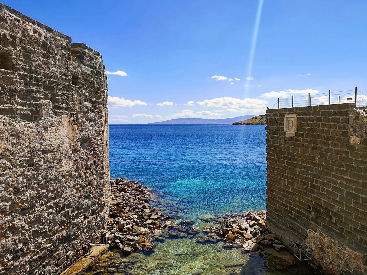
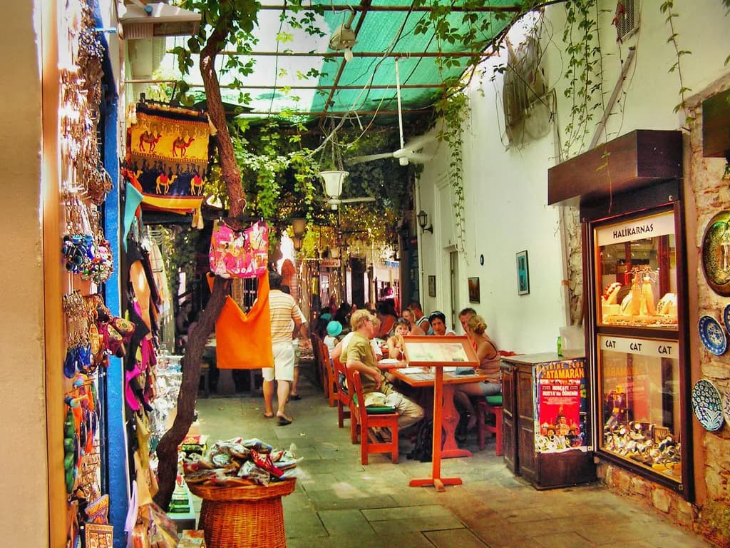
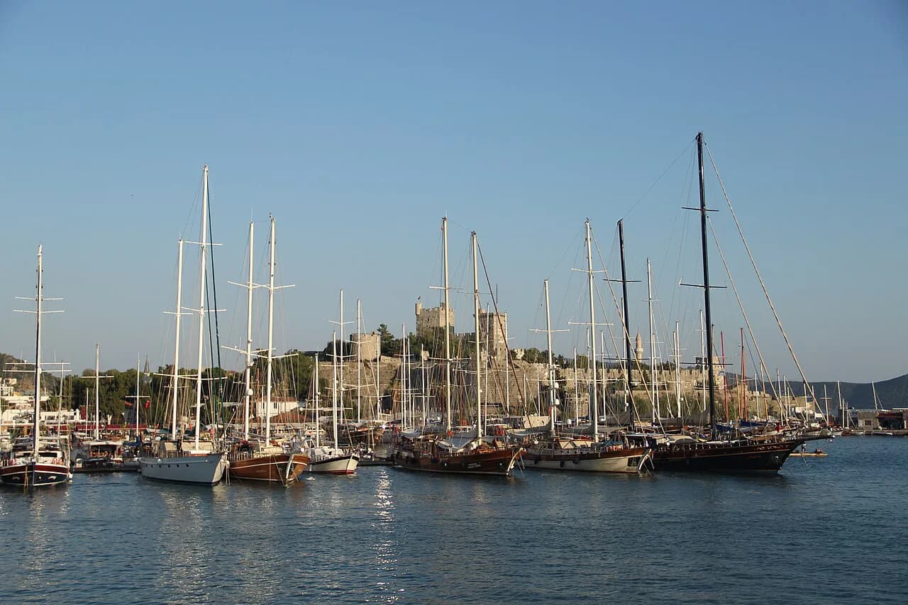
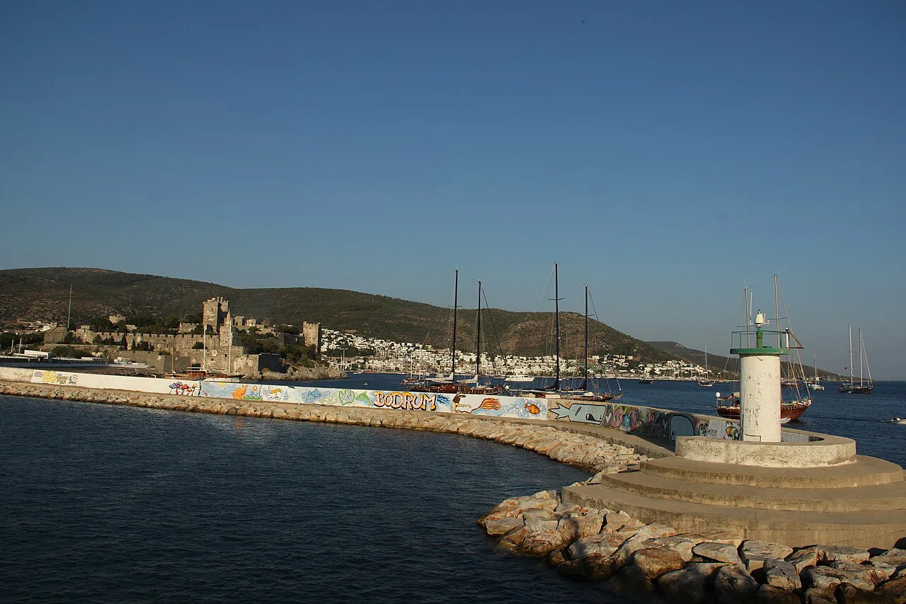
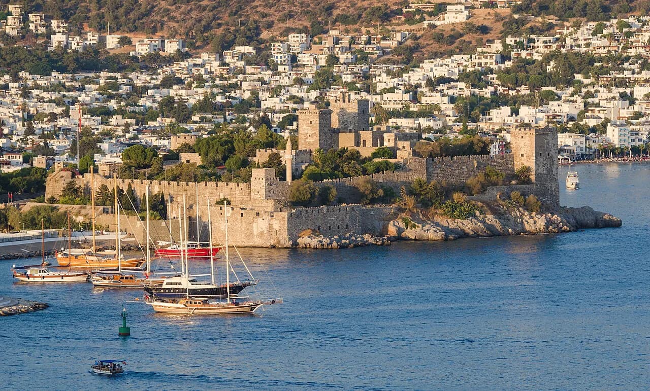
Central Bodrum layers its landmarks tightly. Bodrum Castle, also called the Castle of St. Peter or Petronium, stands on the headland overlooking the international port, and the marina and waterfront promenade run alongside it with restaurants facing the water. Inland, the market streets and bazaar fill the blocks behind the harbour, so you can move from castle walls to shopping without a vehicle.
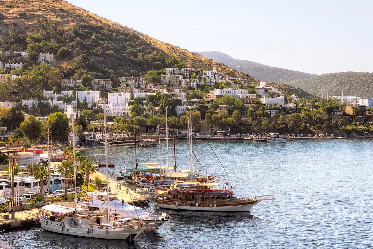
Bodrum was a fishing village before it became a resort, and the centre still reads that way in its shape: a working harbour with boats, a tight commercial core behind it, and low whitewashed houses with blue trim on the slopes around the bay. The port, marina and promenade are the calmest part of town in peak season, which makes them a sensible base for a first orientation walk.
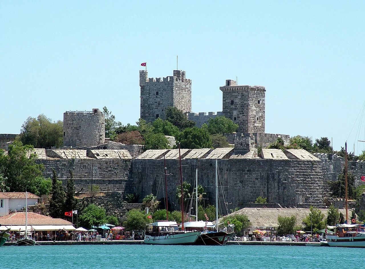
Bodrum Castle and the Museum of Underwater Archaeology
The castle is the anchor of any central Bodrum map and the one sight you should not try to squeeze into a transit day. The Knights of Rhodes built it in the 15th century, and it later served as a church and a mosque under the Ottomans before becoming a museum. It was inscribed as a UNESCO World Heritage Site in 2016, according to the city map listing.
Inside, the Bodrum Museum of Underwater Archaeology holds finds from ancient shipwrecks, including a large collection of glass, with explanations of how the ships sank and how the material was recovered. Allow a proper block of time here rather than treating it as a photo stop at the harbour entrance. Ticket prices and opening hours are set by the museum and are best confirmed on its official pages before you go.
Myndos Gate and the Mausoleum at Halicarnassus: the two ancient stops inland
Two ancient sites sit inland from the harbour and are easy to add to a walking loop. Myndos Gate is the only surviving gate of the two that once punctuated a defensive wall around ancient Halikarnassos, a circuit of about 7 km, and you can still see the remains of a trench where soldiers of Alexander the Great are thought to have died in 334 BC.
The Mausoleum at Halicarnassus is the other stop, a ruin dating to around 350 BC within the ancient Greek city. The surrounding neighbourhood has whitewashed houses with blue accents, which makes the walk there part of the visit rather than dead time between sights. Both sites are compact, so pair them in a single afternoon on foot or with a short taxi hop.
Other mapped landmarks: theatre, windmills, Zeki Müren and the maritime museum
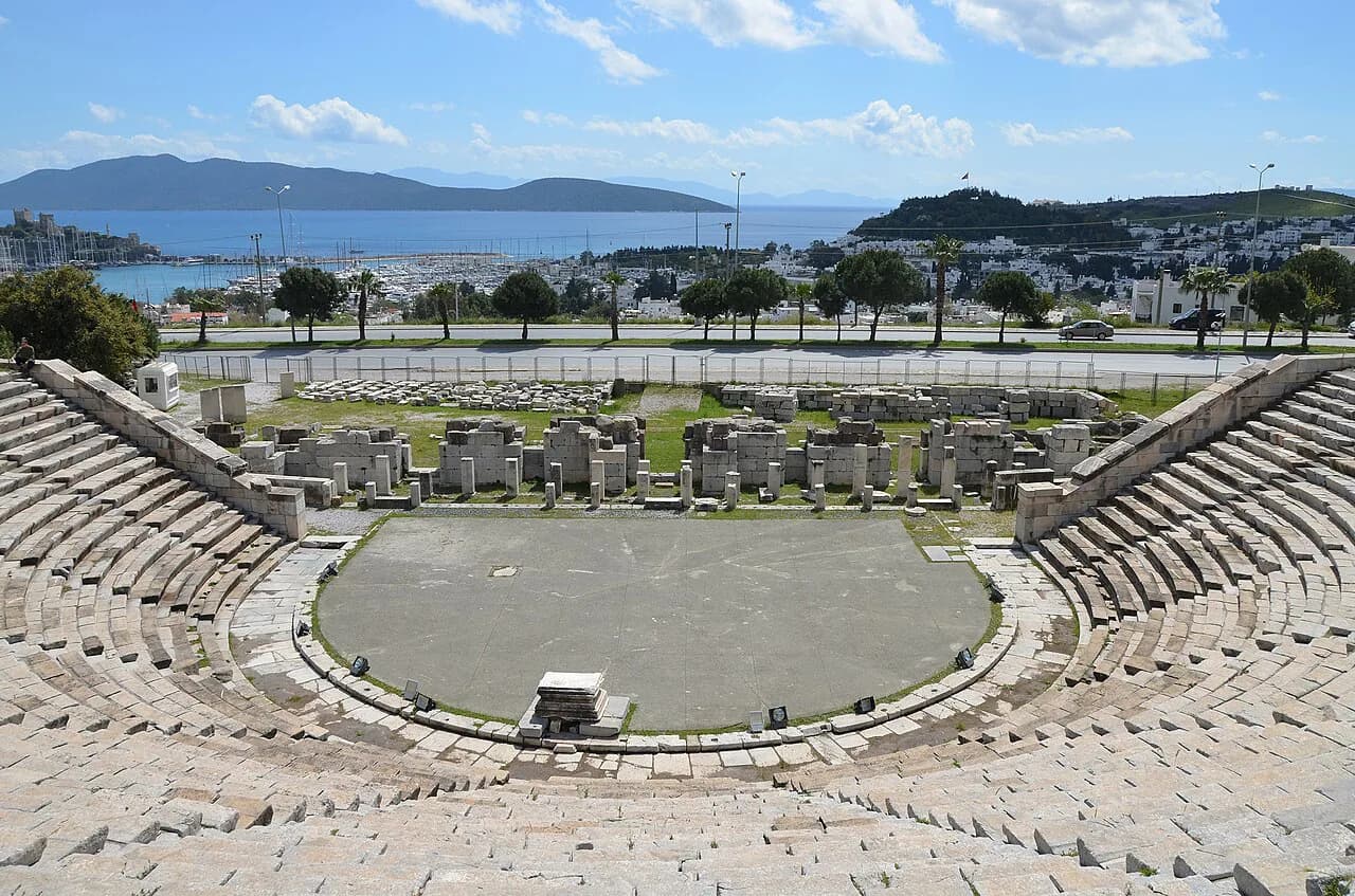
Beyond the headline sights, central Bodrum has a handful of smaller landmarks that help you read the map. The Bodrum Ancient Theatre, the Windmills of Bodrum, the Zeki Müren Arts Museum and the Bodrum Maritime Museum all appear on city maps and can be slotted into a day around the centre and the hills behind it.
Treat these as orientation points as much as destinations, grouped by neighbourhood rather than crossed off in sequence. The windmills, the Zeki Müren Arts Museum and the maritime museum all sit around the centre and the hills behind it. None of them needs a half-day, so plan them by area instead of crossing town twice.
Walking central Bodrum: how the castle, marina and market streets link up
The centre is small enough to cover on foot. Start at the castle headland, follow the marina and promenade west, then cut inland into the market streets behind the harbour. The Mausoleum and the surviving gate at Myndos lie further inland, so save them for the cooler end of the day rather than tacking them onto the castle visit. For the bazaar end of the walk, see the Bodrum markets guide.
Wear shoes that cope with uneven stone and steep lanes, because the whitewashed slopes above the harbour are prettier than they are level. If you plan to shop, leave the bazaar for last so you are not carrying bags around the castle. Market days and bazaar opening patterns vary, so check locally on arrival rather than relying on a fixed schedule.
Crossing the peninsula by dolmuş, and why car hire suits spread-out stops
Bodrum Peninsula beaches and villages are reachable by dolmuş minibuses that leave from the bus station, and this is the cheapest way to move between settlements. The trade-off is time: routes wind between many stops, so a short distance on the map can take far longer than it looks, which matters if you are trying to see two bays in one day.
For a spread-out itinerary, hiring a car is the practical choice, especially if you want to combine inland sights with a beach stop on the same day. If you would rather not drive, pick one or two bases and explore each on foot instead of trying to cover the whole peninsula. Either way, plan around the fact that the peninsula is large and its settlements are separate places, not neighbourhoods of one town.
Gümbet, Bitez and Ortakent heading west: what each looks like on the map
Heading west from the centre, Gümbet is the closest beach resort, about 3 km away, and has grown into a self-contained strip of hotels, shops, bars and banks. Bitez lies about 7 km west of Bodrum with a sandy beach and winds that suit windsurfing. Ortakent is the next bay along, about 13 km out, with a long sandy beach and an annual camel wrestling festival in early spring.
Further along the same stretch, Kargı, known as Camel Beach, and Bağla sit about 16 km from Bodrum. This is the section of the map where the resort strips and the older village centres sit side by side, so it pays to check exactly where your accommodation lies relative to the beach before booking. Use the distances here as a rough guide and confirm travel times locally.
Further west: Akyarlar, Turgutreis, Gümüşlük and Yalıkavak
The western peninsula is a chain of distinct small towns rather than one resort. Akyarlar and Karaincir are about 22 km from Bodrum and are the closest points to the Greek island of Kos, with a tiny harbour and winds that suit windsurfing. Turgutreis, about 18 km out, is named after the Ottoman admiral and works as a small town in its own right, with a compact centre and several beaches.
Gümüşlük sits about 24 km from Bodrum and has been protected from modern development because of the ancient site of Myndos, which is why the village keeps a simpler feel. Yalıkavak, also about 18 km from the centre, is a developed small town with seaside cafés and restaurants, and an old olive press converted into a showroom for kilims, carpets and jewellery. Each of these places deserves its own half-day rather than a quick stop en route to the next.
North of the centre: Torba, Türkbükü and Göltürkbükü
North of Bodrum the map turns toward quieter bays. Torba is about 6 km north, has two beaches and holds the remains of a Byzantine monastery. Gündoğan lies a few minutes from Yalıkavak with signs of antiquity in the hinterland. Göltürkbükü and Türkbükü sit close together about 18 km from Bodrum and have long been associated with Turkish artists and actors.
These northern villages are often grouped together on maps, so check which bay your accommodation faces rather than relying on a general label. The road distances are short, but the winding coastal routes mean that a place that looks close on paper can take longer than expected. Plan one bay per half-day and leave room for the drive back.
Boat trips from the harbour: which bays and islands appear on local maps
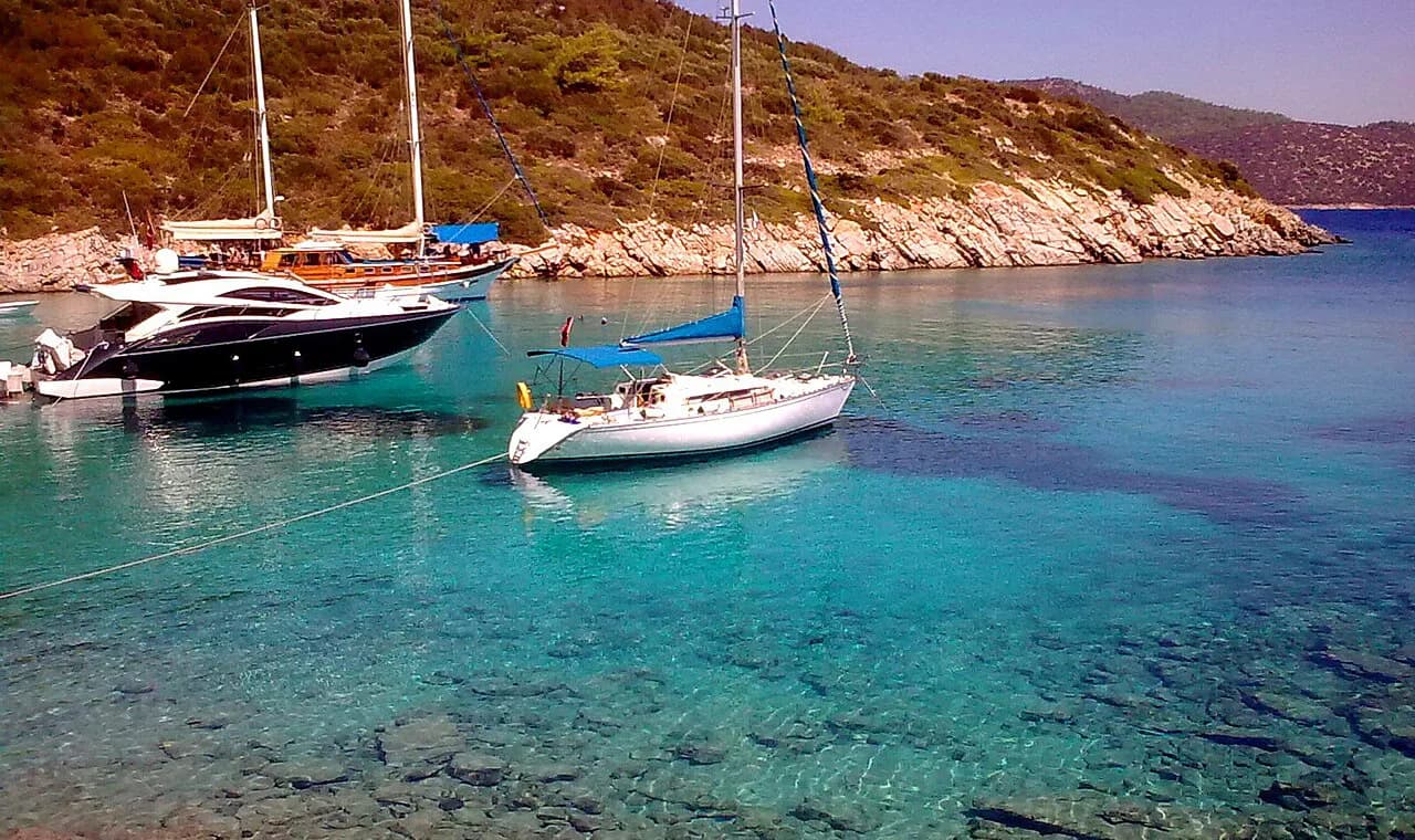
Boat trips are booked around Bodrum, and local map accounts help you follow the geography before you choose one. Named on area maps are Orak Adası, the Seven Islands group and bays such as Çökertme and Longoz, alongside the English Harbour in the town centre. Seeing these names on a map helps you judge how much of a day a given route covers, though the map listing itself does not confirm which routes operators run.
Trips vary in route, length and what is included, and none of that is fixed across the boats working out of Bodrum harbour. Ask what the day covers, how long is spent at each stop and whether lunch is part of the price when you book at the harbour. Boat services are seasonal, so check that departures are running for your dates instead of counting on a daily sailing.
Reading a Bodrum map before you book: matching where you stay to what you want to see
Match your base to the part of the map you actually want to see. Staying central keeps the castle, marina, bazaar and both ancient sites within walking distance, which suits a short break or a first visit. Staying in Gümbet or Bitez puts you near the beach but adds a transfer into town for the historic sights.
Book with a clear picture of the journey. If your hotel is on the western peninsula, check the dolmuş route and how far it is from the bus station, and consider a car if you plan to move between bays daily. Distances here are given as the peninsula guide states them, so use them to compare locations rather than to estimate exact drive times.
Which part of Bodrum belongs on your map?
Draw your Bodrum map in two circles: the walkable centre with the castle, harbour, marina, bazaar and the two ancient sites, and the wider peninsula of bays and small towns linked by dolmuş or car. Decide which circle gets most of your days before you book accommodation, because the peninsula is wide and moving between bays takes longer than the map suggests.
Explore more Bodrum guides
Frequently Asked Questions
Which airport do you fly into for Bodrum?
Bodrum has its own airport serving the peninsula, and the centre and western resorts are reached by road from it. The drive to the centre is shorter than to the far western bays, so factor the transfer into where you choose to stay. Check your airline and transfer options for your dates before booking.
Is Bodrum very expensive?
Costs vary widely across the peninsula. The marina areas around Yalıkavak and Türkbükü carry the highest prices, while the town centre and the simpler villages such as Gümüşlük suit more modest budgets. Museum and boat-trip prices are listed on official sites and at ticket desks.
What is the nicest part of Bodrum?
There is no single answer: the centre suits anyone who wants the castle, harbour and ancient sites within walking distance, while the western villages such as Gümüşlük and Turgutreis suit a slower, more local feel. Choose by what you want to do each day rather than by reputation, and weigh the distances between bases.
Sources
Notes for your next Turkey trip
Optional updates when we add or correct a town guide.
You might also like
Continue reading
More guides you'll find useful