Ankara Map: How to Find Your Way Around the Capital
An Ankara map places Turkey's capital in central Anatolia and shows how large the city really is. Here is how to read one before you plan a journey.
On this page
An Ankara map is most useful in two ways: it fixes Turkey's capital in central Anatolia, and it shows how spread out the city is before you commit to a day's plan. Ankara is the capital of Turkey and sits in the central part of Anatolia, with more than 5.3 million residents in its urban centre. This guide explains what a city map of Ankara actually shows, how to read its scale, which formats help before you travel and where a map stops being useful for a short visit.
Where Ankara sits on a map of Turkey
On a national map, Ankara falls in the middle of the country rather than on a coast, in the central part of Anatolia. That inland position is the first thing to absorb, because it explains why the city appears on road and rail maps of Turkey as a hub rather than a seaside stop. Pin Ankara centrally first, then work outwards to the rest of your route.
A mapping app will drop a pin on the city and show driving directions, nearby attractions and area figures, which is enough for orientation but not for understanding the layout. Use that pin to confirm the city's position, then switch to a city-level view for the streets you will actually walk. The position and the internal layout are separate questions, and most map searches blur them together.
How big Ankara is and why that matters for a map
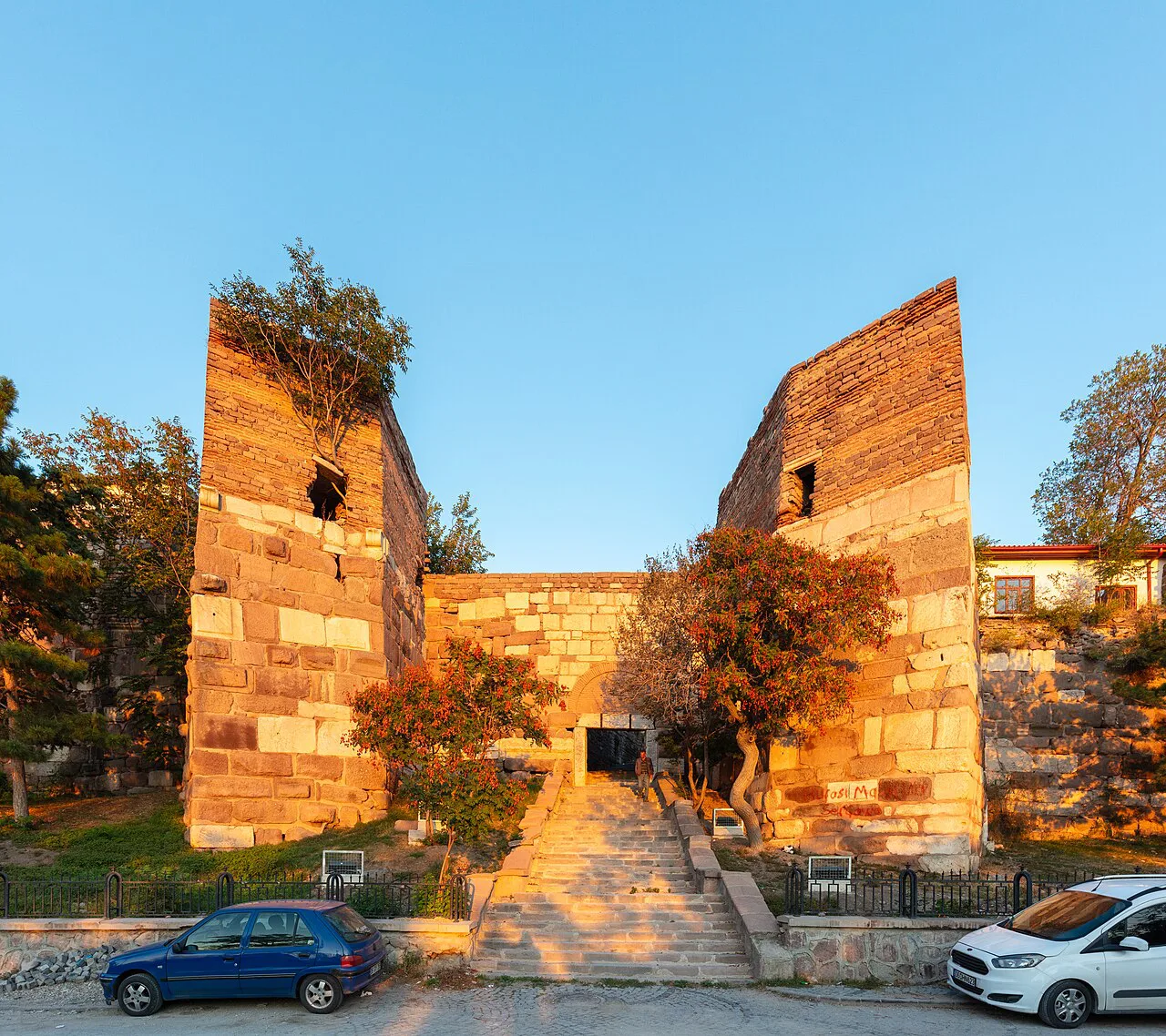
Ankara is a large city, and a street map of the capital covers far more ground than a visitor will walk in a day. The useful lesson is scale: a city map of Ankara is a tool for choosing where to go and grouping nearby sights, not a route to complete on foot. Plan short clusters rather than long cross-city walks.
A city map shows transit stops and railway stations alongside the street grid, and a glance at it quickly corrects any idea that the network is dense or evenly spread everywhere. Read the stops as a guide to which one actually serves your destination. Before you set out, look up the stop nearest your first sight and your return leg separately.
Parks and public green spaces show up on a city map as shaded blocks. For a visitor that is a useful planning cue: it lets you slot a sit-down between sights instead of crossing the city twice. Match the park to the sight you are already visiting rather than making a special trip across town for one.
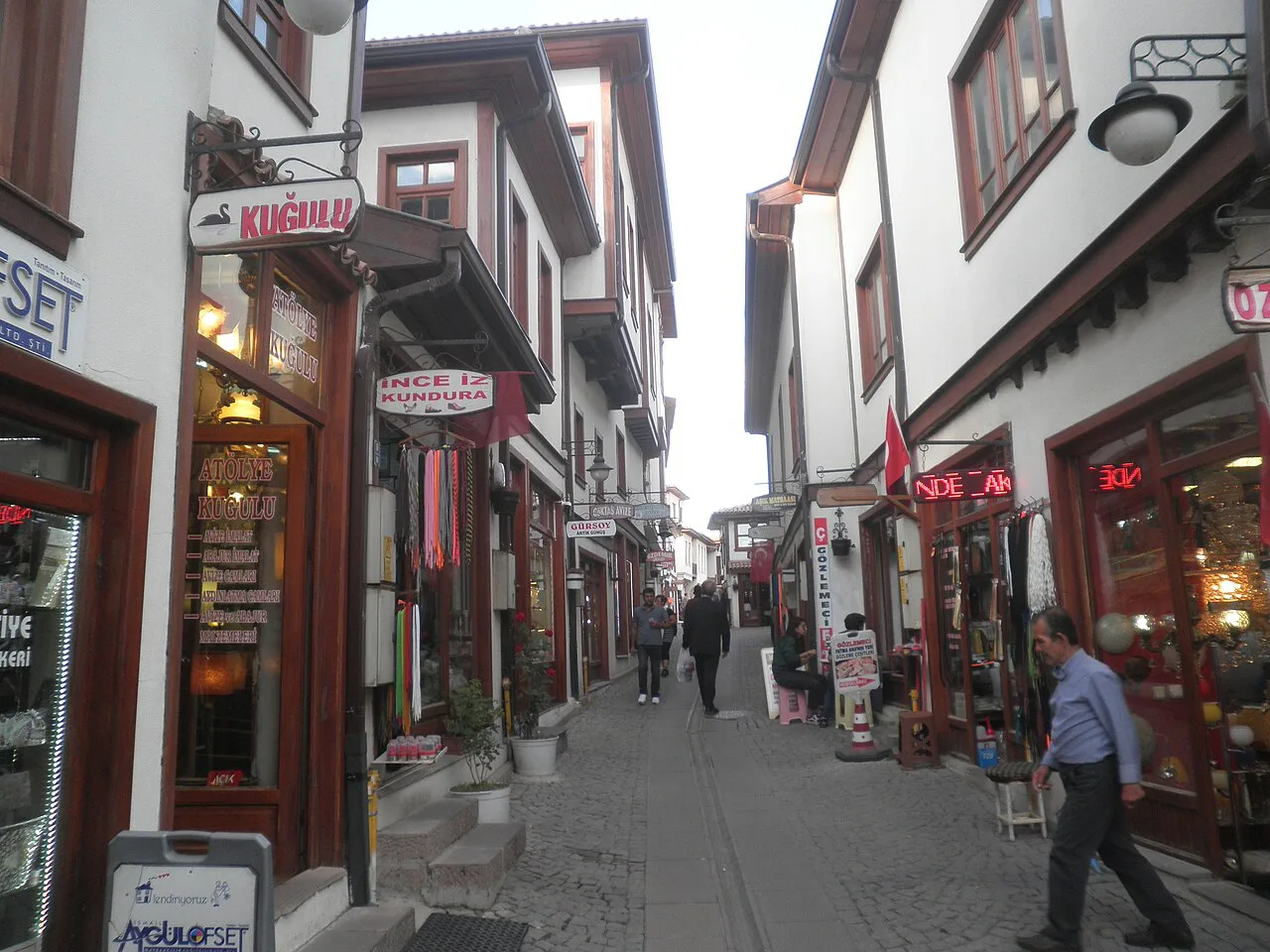
What a basic Ankara city map shows: streets, transit stops and green space
A basic city map gives you three things worth reading in order. First the street pattern, so you can see how blocks connect. Then the transit stops, so you can judge whether a sight is a walk or a ride. Then the parks, so you can plan a pause without backtracking.
Treat those layers as a filter for your shortlist rather than a description of the whole city. Once you have picked the sights you want from the things to do in Ankara, plot them on the map and group the ones that sit close together. That grouping does more for a day's plan than any amount of staring at the full street grid.
For a fuller picture of what the city offers beyond the map lines, the Ankara Attractions: 4 Visitor Guides hub sets out the individual sights in more detail. Read it alongside the map so you know which pin on the screen is worth the walk.
Reading Ankara against the rest of central Anatolia
Once Ankara is pinned centrally, the rest of central Anatolia falls into place around it, and you can see which directions your onward travel will take. Do not rely on a map for journey times between cities; check a route planner on the day you plan to move, because road conditions and service patterns change.
Keep the national view and the city view as two separate maps in your head. The national map answers where Ankara is relative to the rest of Turkey. The city map answers how to spend a morning once you are there. Confusing the two is the most common way a map search goes wrong.
Map formats worth having before you travel
For planning at home, a printable or downloadable city map is the most useful format because you can work from it before you fly. Commercial map services generate city maps at print and screen resolution in formats including JPG, PNG, PSD and editable PDF, which suits anyone planning in detail at a desk or on screen. Check the licence terms if you plan to reuse the map anywhere public.
For navigating on the day, an app on your phone beats paper because it can recalculate when you change your mind. Save your shortlisted sights offline before you leave the hotel, so a weak signal does not strand you. Paper still earns its place as a backup for a full day out.
If you want to see how a map of Ankara can be styled for different uses, design sites collect city map ideas, though they are inspiration rather than navigation. Keep them as design reference and keep an actual street map for the trip itself.
Practical limits of a city map for a short visit
A city map will not tell you whether Ankara is the right stop for your trip, and it will not sort your priorities for you. If you are weighing whether to include the capital at all, read is Ankara worth visiting before you build a map-based plan around it. The map then becomes a tool for a decision you have already made.
Maps also go stale on the details that matter most: entrances, transport interchanges and which stop is closest to a sight. Verify those against a current source close to your visit rather than trusting a cached map. Two checks, one for your arrival route and one for your first day's walking loop, are usually enough.
If your budget is tight, plan the map around free sights first and let paid entries fill the gaps. The free things to do in Ankara guide lists options that cost nothing to plot. Build the route around those and the map does the rest.
Should you plan Ankara around a map or around a shortlist?
Start with a shortlist, then use the map to sequence it. Pick the sights you actually want, check that they cluster sensibly on the street grid, and use the transit stops to bridge the gaps you cannot walk. A map is a sequencing tool, not a plan in itself.
Keep one national map for position and one city map for the day, and save both offline before you set out. If you are still deciding whether the capital earns a place on your itinerary, settle that question first and let the map follow.
Explore more Ankara guides
Sources
Notes for your next Turkey trip
Optional updates when we add or correct a town guide.
You might also like
Continue reading
More guides you'll find useful