Bursa Map: Old Town, Bazaars and Main Sights Laid Out
A Bursa map guide for visitors: how the old town, bazaars and main sights fit together, with the named streets, squares and stops you will actually use.
On this page
Read a Bursa map with three anchors and the city stops looking complicated: the historic core sits in Osmangazi district, the bazaar quarter clusters around Uzunçarşı Caddesi and Koza Han, and long-distance coaches arrive at the inter-city bus terminal on İstanbul Caddesi at the northern edge of the centre. Everything below names what actually appears on the map, so you can match the pin to the pavement. The aim is a planning tool rather than a list of pins, showing how the bazaar, Heykel and Muradiye relate to each other and where your bus or taxi drops you.
Bursa is a city in Turkey and the administrative centre of a large province, so maps are drawn at two scales: the province outline and the street-level city plan. For a short break you only need the second, and only the Osmangazi section of it. Travel directories list the landmarks by address and coordinates, which is what makes them findable on a phone map when the sign is only in Turkish.
What a Bursa map shows you before you arrive
A city map of Bursa shows districts before it shows sights, and the district name in a street address tells you which part of the city you are heading for. Central addresses carry Osmangazi; addresses to the west carry Nilüfer, and addresses to the east carry Yıldırım. Learning those three names lets you read any hotel or restaurant address on the map without hunting for the street first.
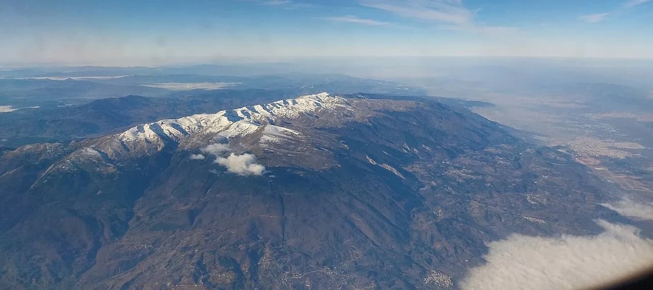
The province itself is mapped separately from the city, which matters if you are planning a wider loop rather than a city break. The province-level view explains why some maps label settlements far outside the centre, so check whether a map shows the whole province or only the Osmangazi street grid before you use it to plan a day.
Offline map apps are worth downloading before you travel, because the directory entries carry GPS coordinates alongside street addresses. Those coordinates are the reliable part when a shopfront has no obvious number, and they let you search by landmark name rather than by full postal address.
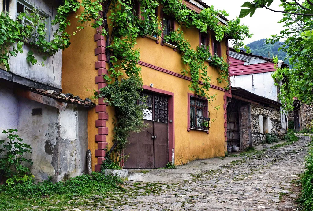
Where the historic core sits: Osmangazi district and Heykel
Heykel is the square to fix in your head first. It appears on the map on Atatürk Caddesi in Osmangazi, and it works as the central reference point from which the bazaar, the hotels and the main arteries are described. If you can find Heykel, you can find your way back from most of the centre.
Atatürk Caddesi runs through the centre and carries a mix of everyday stops, so it doubles as a navigation spine rather than a single sight. Use it to orient yourself between Heykel and the surrounding quarters, then step off it into the smaller streets once you know which side of the avenue you are on.
Altıparmak Caddesi appears on the map west of the centre in the Altıparmak quarter, with addresses such as Altıparmak Mah. Altıparmak Cad. recorded there. Treat it as a district marker on the map rather than a sight: it tells you that you have moved out of the historic core towards the western commercial streets.
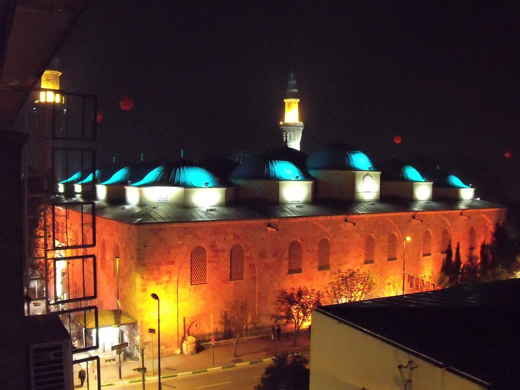
The bazaar quarter: Uzunçarşı Caddesi and Koza Han
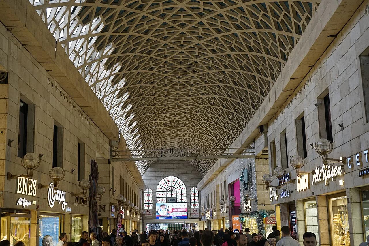
Koza Han is the landmark that anchors the bazaar on the map, listed at Nalbantoğlu Mah. Uzunçarşı Cad. No:59 in Osmangazi with its own coordinates. Note the two street names in that one address: the han sits off Uzunçarşı Caddesi in the Nalbantoğlu neighbourhood, which is exactly how the surrounding lanes are labelled.
Treat the bazaar as a zone rather than a single street to walk end to end. The directory gives Koza Han a rating of 4.6, which is the directory's own figure from user entries and not a recommendation; use it only as a sign that the han is a recognised pin in the clustered lanes.
Zafer Plaza appears on the map at Şehreküstü Mah. Cemal Nadir Cad. No:22-28, a short step from the bazaar lanes, and it holds several listed shops and services inside one address. It is a useful orientation marker because a single building name is easier to find than a small shop number in a crowded street.
Muradiye and the northern end of the old town
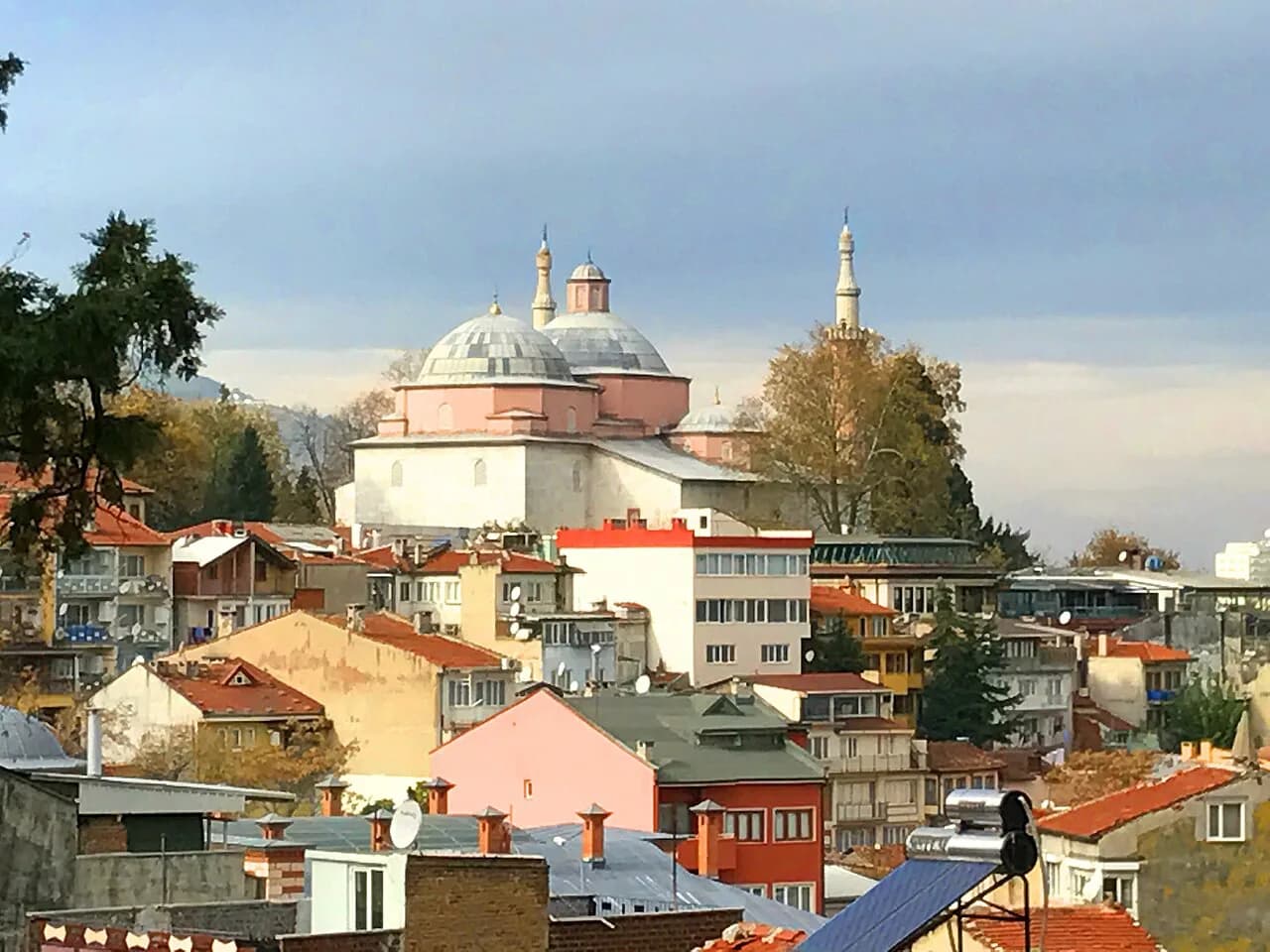
Muradiye Külliyesi sits at Muradiye Mh. 2. Murat Cd. in Osmangazi, and the map entry carries coordinates that place it clearly apart from the Uzunçarşı cluster, to the west of the bazaar lanes. If you are planning a walking loop, this is the far end of it, so decide whether you start at Heykel and finish here or reverse the order. The Muradiye Complex fits naturally into a wider list of things to do in Bursa.
2. Murat Caddesi is the address line you look for on the map when navigating to Muradiye, and Muradiye Mahallesi is the neighbourhood label around it. Read together, they tell you the sight is inside a residential quarter rather than on a main artery, so approach it by the named street rather than by compass direction.
Getting in: Bursa Inter-City Bus Terminal on İstanbul Caddesi
Long-distance coaches arrive at the Bursa Inter-City Bus Terminal, listed at Alaşarköy Mah. İstanbul Cad. No:483 in Osmangazi, with coordinates well north of Heykel. Knowing that the terminal sits on İstanbul Caddesi tells you which end of the city you land in: you are at the northern approach, not in the bazaar.
Plan the onward leg from the terminal before you arrive, because the terminal and the sights are separate map pins rather than neighbours. The same İstanbul Caddesi also carries a large shopping address at No:487, and another stretch of the avenue reaches No:438, so check the street number on any pin before you set off walking.
Airport pins on the map sit apart from the bus terminal: Bursa Airport (BTZ) and Bursa Yunuseli Airport (BTZ) are listed as separate entries. Check which one your flight uses with your airline before planning a transfer, rather than relying on the map label alone.
Getting around: streets, squares and taxi and bus points to look for
On the map, look for transport categories rather than individual stops: the directory groups bus station, taxi, parking and gas station entries together, so you can switch on one layer and see what is near your address. That is faster than scrolling an alphabetical list of hundreds of businesses.
Use the named squares and avenues as your handover points between transport and walking. Heykel on Atatürk Caddesi and the İstanbul Caddesi terminal end are both easy to confirm on a screen, so route to one of those and continue on foot rather than trying to name a small side street to a driver.
Kükürtlü Caddesi appears on the map in the Kükürtlü quarter, with addresses such as Kükürtlü Mah. Kükürtlü Cad. recorded there alongside a fitness and spa entry. Save it as a district reference if your accommodation address carries that name, so you can see at a glance that you are outside the old town core.
Reading the map for shops, food and everyday stops
The directory sorts Bursa into categories such as lodging, shops, food, health and finance, and that structure is the most useful part of the map for a practical day. Switch on food and cafes to find a cluster near your route, then check the address line to see whether it sits in Osmangazi or Nilüfer before you commit to walking.
Addresses on the map use the mahalle (neighbourhood), street and number format, so read them in that order. A pin at Nalbantoğlu Mah. Uzunçarşı Cad. No:59 means the Nalbantoğlu quarter, Uzunçarşı Caddesi, number 59; matching those three parts to a street sign is usually quicker than matching the business name.
Shopping addresses cluster around a few named buildings, which makes them easy to find on a phone even when the individual unit is not. Zafer Plaza on Cemal Nadir Caddesi and Korupark in the Emek Adnan Menderes quarter are both listed with full addresses, so you can navigate to the building and find the unit inside.
What the map does not tell you: hours, prices and tickets
A map pin gives you a location and a category, not an opening time, a ticket price or a closing day. Confirm those with the site or venue itself before you build a day around one stop, particularly for the han, the külliye and any museum you plan to enter.
Ratings shown beside entries are the directory's own user figures, which is why a high number next to Koza Han or Muradiye Külliyesi should not be read as an editorial verdict. Use them to confirm a place is a recognised pin, then decide for yourself from the street.
If you are weighing up whether the city deserves a slot on a Turkey trip at all, settle that question before you fine-tune the map. A candid look at is Bursa worth visiting helps you decide how many days to allocate, and the street-level planning only becomes useful once that call is made.
Which pin do you navigate to first?
Start at Heykel on Atatürk Caddesi, walk into the Uzunçarşı Caddesi lanes to find Koza Han, then head on to Muradiye Külliyesi on 2. Murat Caddesi if you want a second cluster in the same day. Treat the bazaar and the külliye as two separate clusters across Osmangazi, with the bazaar east of Muradiye, rather than expecting one continuous walk between them.
If you arrive by coach, fix the terminal on İstanbul Caddesi first, then pick your onward address from the map before you leave the building. A simple Bursa itinerary is easier to build once those two ends of the city are clear in your head.
Save the pins you actually intend to use offline, keep the mahalle, street and number order in mind when reading addresses, and leave opening times and prices to a check with the venue on the day.
Sources
Notes for your next Turkey trip
Optional updates when we add or correct a town guide.
You might also like
Continue reading
More guides you'll find useful