Cappadocia Map: Towns, Valleys and Sights on One Page
A practical Cappadocia map guide: where the region sits, which towns anchor each valley, the Red, Green and Blue tour routes, and how to read the map before you go.
On this page
Cappadocia is a region in Central Anatolia, Turkey, spread between the cities of Nevşehir, Aksaray, Niğde and Kayseri rather than a single town you can drop a pin on. That is why a map search returns five different place names, and why the first job is to pick which town anchors your days. This guide lays out the core towns, the named valleys, the two underground cities and the tourist routes, and prices, opening hours and dates change with the seasons, so check them with the relevant tourism office before you book anything.
Use it as a planning map, not a driving schedule: it tells you what sits near what, which sights cluster into a loop and which routes are sold as full-day tours. Pair it with our wider list of things to do in Cappadocia once you know where you are sleeping.
Where Cappadocia sits on a map of Turkey
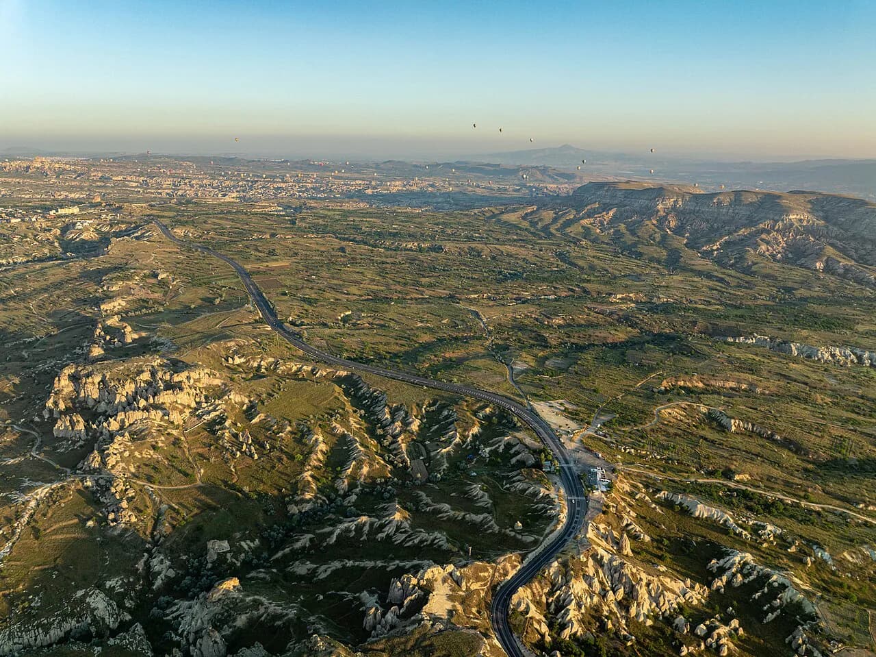
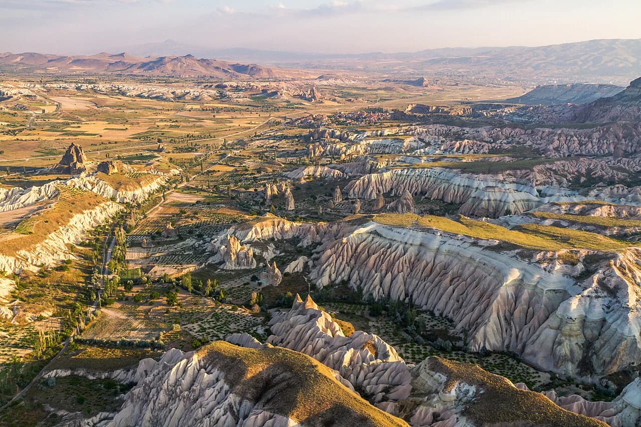
The region lies in the eastern part of the Central Anatolia Region, ringed by Nevşehir, Aksaray, Niğde and Kayseri. It is a semi-arid historical region at the heart of Anatolia, and the provinces it overlaps are the same ones named on any regional map. If you are arriving overland, the road from Ankara runs east towards Göreme, which sits roughly 280 km from the capital.
Print or download a regional map before you travel; it makes the difference between a valley you can walk into from town and one that needs a vehicle. Hotel and tour desks also carry them, which is useful if your phone plan runs out in the valleys.
Which provinces and towns the region covers
Think of Cappadocia as a ring of small towns inside Nevşehir Province, with the region's edges reaching into Kayseri, Aksaray and Niğde. Göreme, Uçhisar, Çavuşin, Avanos and Ürgüp form the tight core that most short trips never leave. The underground cities of Kaymaklı and Derinkuyu sit further south, and the Ihlara Valley with Selime reaches west towards Aksaray. Our guide to Kaymaklı Underground City covers the southern anchor in more detail.
The map of the core: Göreme, Uçhisar, Çavuşin, Avanos, Ürgüp and Nevşehir
Göreme is the village most visitors use as a base and the one pinned to the open-air museum. Uçhisar sits west of it with its castle rock, Çavuşin lies between the two with old cave houses cut into the cliff, and Avanos runs along the Kızılırmak, the longest river in the country, where ceramics and textile workshops line the streets. Ürgüp, east of Göreme, is the other main town, and Nevşehir is the provincial city that gives the area its airport and administration.
A practical reading of that cluster: Göreme and Uçhisar are close enough to string together in one half-day, and Çavuşin sits on the road between them and Avanos. Ürgüp and Nevşehir are separate outings rather than a stroll.
Valleys to locate before you plan: Love, Rose, Red, Devrent, Paşabağ and Zelve
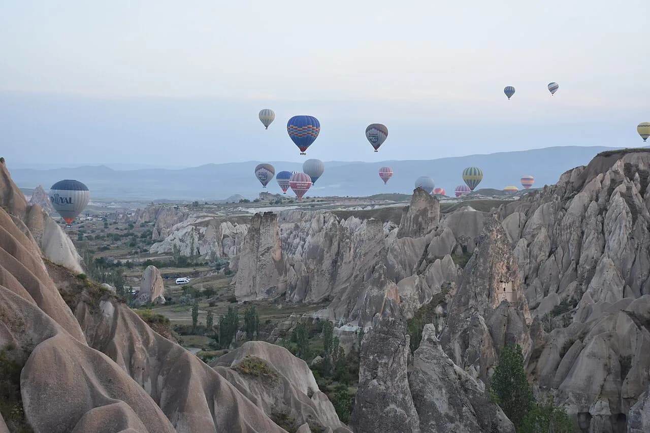
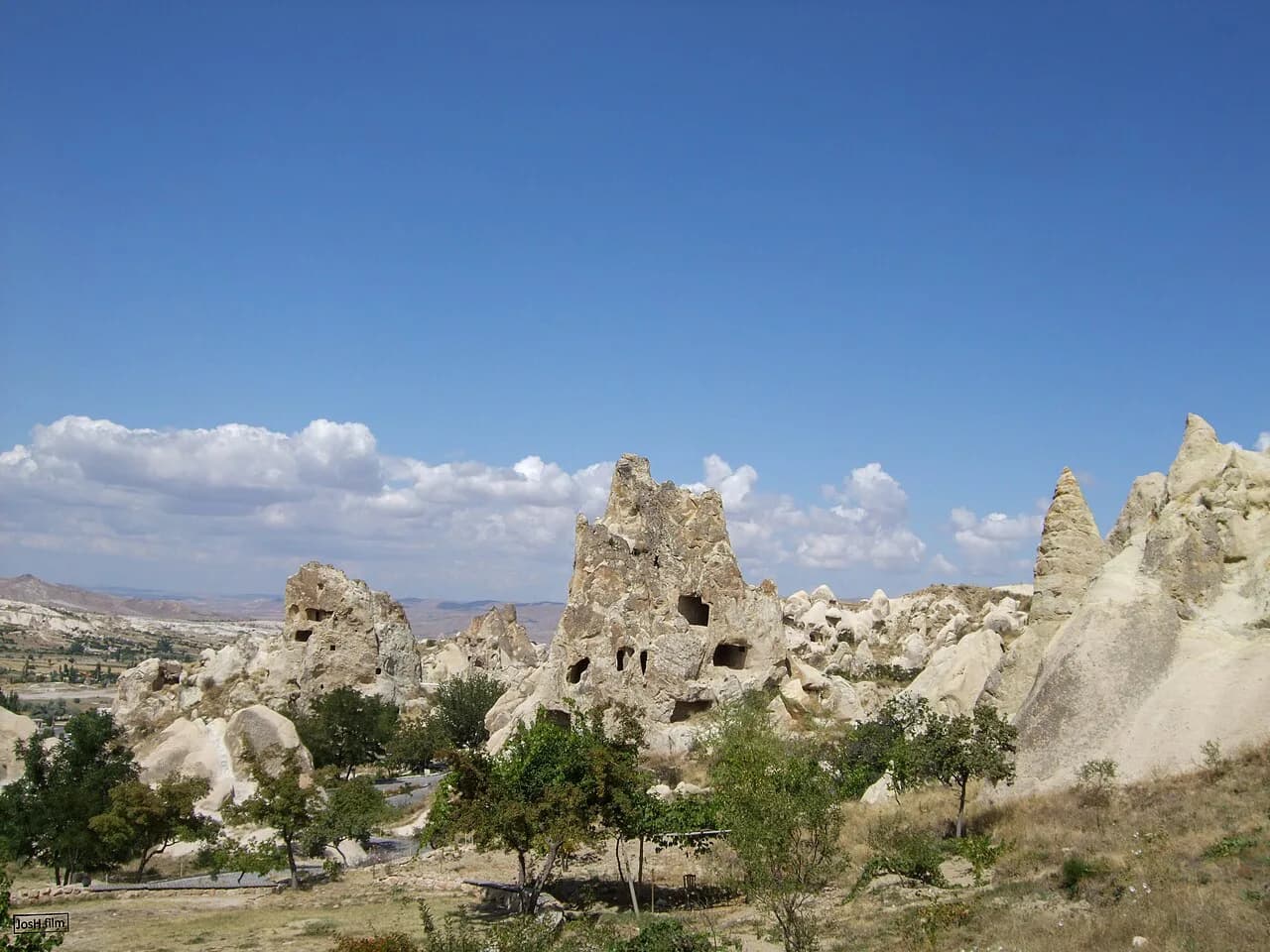
Love Valley lies inside the Göreme national historic park and is known for fairy chimneys shaped like the name suggests. Rose Valley and Red Valley sit next to each other and are walked for coloured rock and evening light. Devrent Valley, also called Imagination Valley, is the one where rock formations are read as animals and objects.
Paşabağ holds the fairy chimneys most photographed up close, some reaching 15 metres, with rock-cut houses, churches and artisan caves in the same valley. Zelve Open Air Museum is a rock city hidden in three dead-end valleys, and Çavuşin's cave houses sit on the same side of the map. Plan valleys by which town they hang off, not by how famous the name is.
Göreme Open Air Museum and Uçhisar Castle on the map
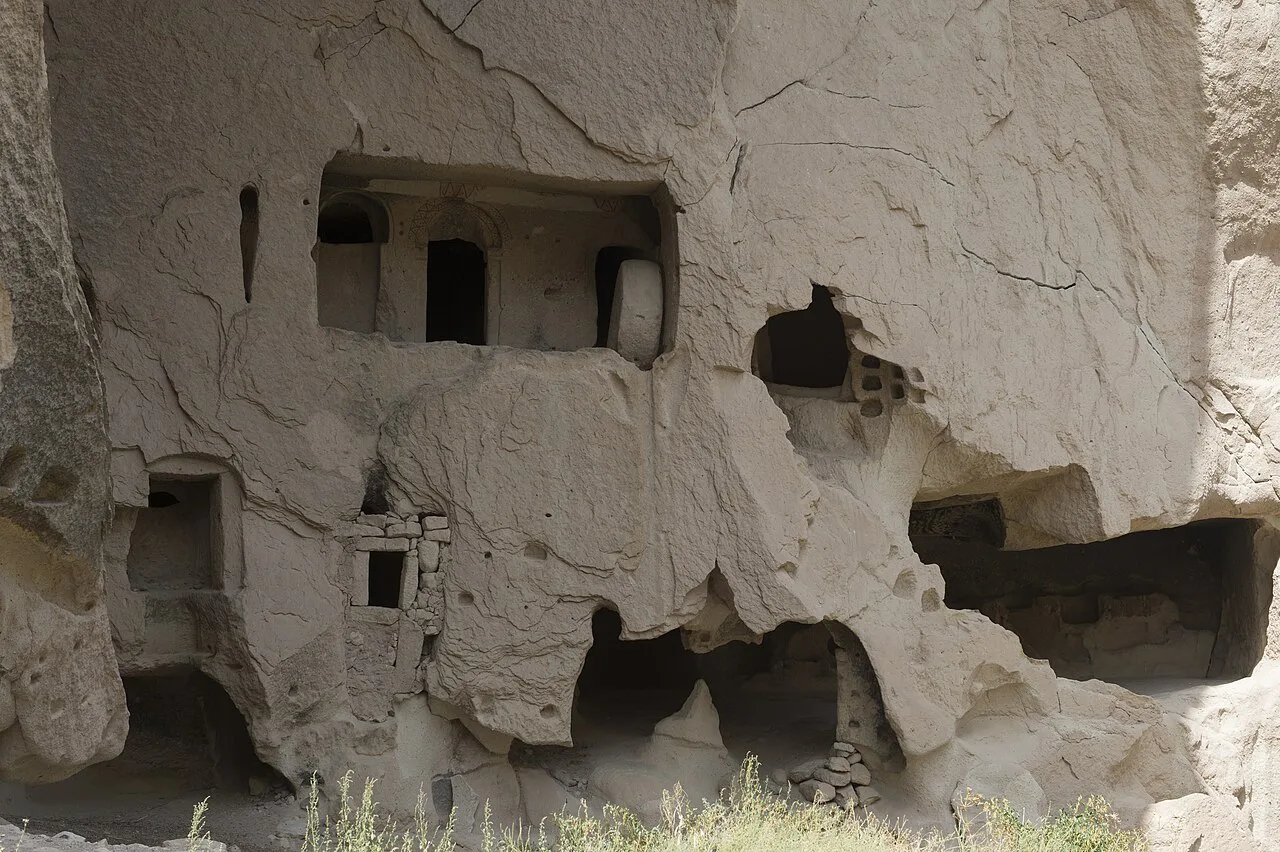
The Göreme Open Air Museum is the anchor sight of the core: a complex of rock-cut churches with Byzantine frescoes, listed as a UNESCO World Heritage Site. It sits in Göreme itself, so it works as a morning start before the valleys fill. Our Göreme Open-Air Museum guide covers what is inside the churches and how to pace them.
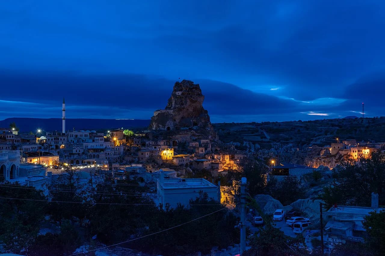
Uçhisar Castle is a volcanic rock fortress about 60 metres high, with caves, rooms, corridors, a rock church and a cistern cut inside, once used as a strategic lookout in the Roman period. The climb is genuinely testing, so put it where your legs are freshest rather than at the end of a valley day.
Underground cities: Kaymaklı and Derinkuyu
On the regional map, Kaymaklı and Derinkuyu sit south of the Göreme cluster, which is why they appear on full-day itineraries rather than half-day ones. Both are carved multi-level cities, and the Cappadocia underground cities overview explains how they differ before you commit a day to one. Kaymaklı Underground City works as the southern anchor of the Green Tour route.
Derinkuyu Underground City appears on the Blue Tour list, reached after the Soğanlı Valley stops on that southern loop. If you are weighing the two underground cities, read our separate Derinkuyu Underground City page for what the visit involves.
Reading the Red Tour route on a map
The Red Tour, also sold as the North Tour, runs a loop that a map makes instantly readable: Uçhisar Castle, Göreme Open Air Museum, the Love Valley viewpoint, Çavuşin, Avanos, Paşabağ, Zelve Open Air Museum, Devrent Valley and Ürgüp. It is one day covering the northern half of the core, and every stop sits within the same ring of towns.
Because those stops sit close together, the Red Tour is the route you can most plausibly reassemble yourself with a car or dolmuş hops. The trade-off is time: stringing eight stops by public transport eats the day, whereas a tour moves you between them without waiting.
Reading the Green Tour route on a map
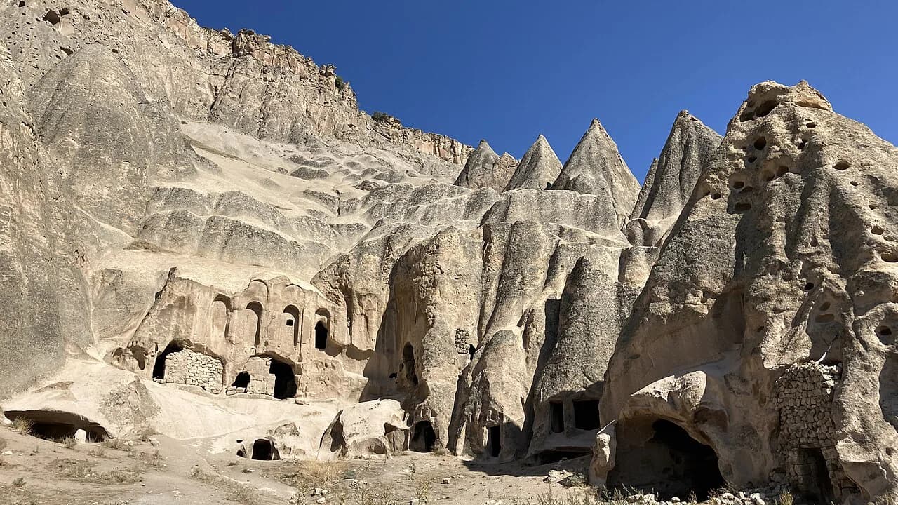
The Green Tour, or South Tour, heads out of the core: Göreme panorama viewpoint, Kaymaklı Underground City, the Ihlara Valley, Belisırma, Selime Cathedral, the Ağzıkarahan caravanserai and Pigeon Valley. On a map the shape is a long southern loop returning north, which is why it is usually sold as a full day. Ihlara Valley, Cappadocia's gorge walk, is the middle of that loop.
The distances here are the reason to book rather than improvise: the gorge and the underground city are far enough apart that missed connections cost you the afternoon. Check what the tour company includes before paying, since the route list alone says nothing about entry fees or lunch.
Reading the Blue Tour route on a map
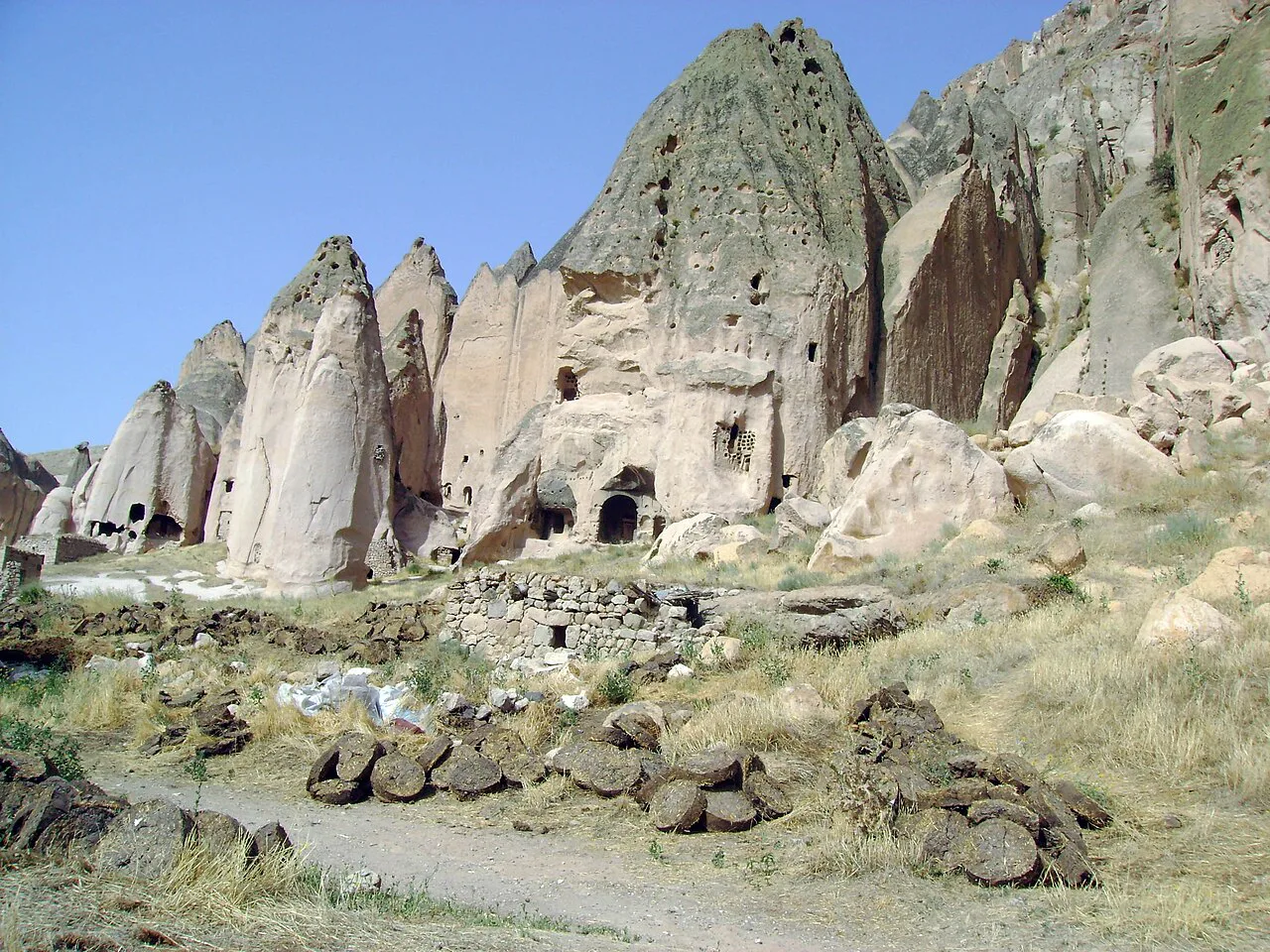
The Blue Tour runs east and south instead: the Three Beauties of Ürgüp, Mustafapaşa, Taşkınpaşa, Sobessos ancient city, Şahinefendi, the Soğanlı Valley and Soğanlı village, then Derinkuyu Underground City. Üç Güzeller, three fairy chimneys with two large and one small, sits about five minutes from the centre of Ürgüp, so it is the easy first or last stop.
This is the route for travellers who have already seen the core and want villages and a second underground city. It also overlaps least with the Red Tour, so the two pair well across two days without repeating ground.
The Rose and Red Valley route
A fourth named route, the Rose and Red Valley tour, keeps to the core: Göreme panorama, Red Valley, Çavuşin village, Avanos village, Rose Valley and Sword Valley. Think of it as the coloured-rock day, best placed when you want walking between rock formations rather than another museum. Rose Valley's appeal is the evening light that turns the rock pink, so the order of stops matters more than the count.
Nearest airports: Kayseri and Nevşehir
Cappadocia is reached by air through two gateways: Kayseri, also called Caesarea of Cappadocia, and Nevşehir, with flights from major cities including Ankara and Istanbul. On the map, Nevşehir is the closer provincial city to the Göreme core, while Kayseri lies further east. Overland arrivals come by car or bus from Ankara and Istanbul.
Choose the airport that matches your first night's town rather than the one with the more familiar name, and confirm transfer arrangements with your accommodation before you fly.
How many days the map justifies
Two full days cover the core loop and one underground city, which is the minimum the map supports without rushing. Three days lets you add the Blue Tour's villages or the Ihlara Valley without dropping the Göreme Open Air Museum. Whatever you choose, build the day around the temperature swing: spring and autumn are milder, summer is hot and peak season, and nights stay cool even in late spring.
If you are still deciding whether the region earns the trip, our candid answer on whether Cappadocia is worth visiting sets the trade-offs straight. Add Ortahisar Castle if you have a spare afternoon near the core.
Which town should anchor your map?
Base yourself in Göreme if you want the museum, valleys and viewpoints within easy reach, or in Ürgüp or Uçhisar if you prefer a quieter town with the same core on your doorstep. Avanos suits travellers who want the river and workshops on the map rather than the tour buses. Then draw one loop north for the Red Tour stops and one south for the underground cities and gorge.
Explore more Cappadocia guides
Frequently Asked Questions
What country is Cappadocia a part of?
Cappadocia is in Turkey, in the eastern part of the Central Anatolia Region, spread across the provinces of Nevşehir, Aksaray, Niğde and Kayseri.
Where do you fly to for Cappadocia?
The two gateway airports are Kayseri, also called Caesarea of Cappadocia, and Nevşehir. Both take flights from major Turkish cities such as Ankara and Istanbul, and road or bus arrivals come from the same cities.
Sources
Notes for your next Turkey trip
Optional updates when we add or correct a town guide.
You might also like
Continue reading
More guides you'll find useful