Kemer Map for Visitors: Old Town, Harbour and Resort Strips
A visitor's map guide to Kemer: Liman Caddesi and the yacht harbour, Phaselis and the Chimaera flames nearby, and how to read the resort strips before you go.
On this page
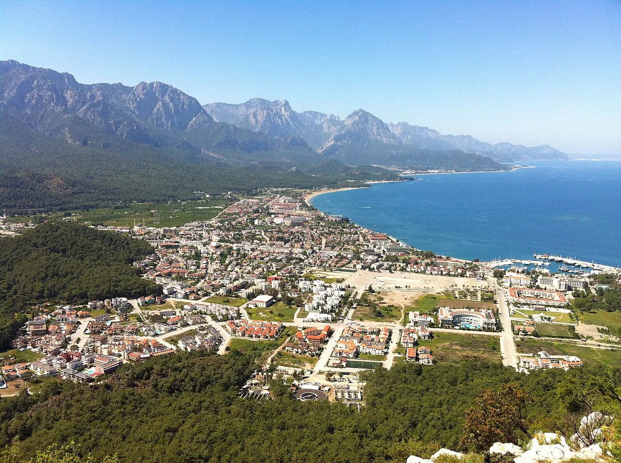
A Kemer map splits into two scales: a compact, walkable centre around the covered Liman Caddesi pedestrian zone and the yacht harbour, and a long coastal district where Phaselis, Çamyuva, Çıralı and the Chimaera flames sit kilometres apart. Plan the centre on foot and use the wider map to decide which outlying site earns a half-day. This guide lays out the streets, the green spaces and the ancient sites so you can plot a route before you leave the hotel.
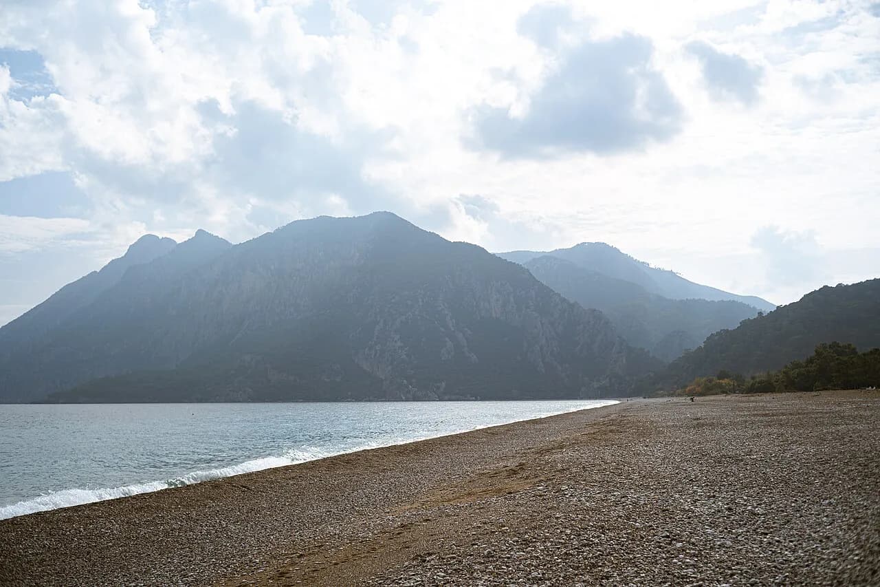
The district itself is an administrative unit of Antalya province, which is why even a plain regional map helps: it shows Kemer as a coastal district rather than a single resort strip, with the mountains of the Taurus range rising immediately behind the shore.
What the Kemer map covers: town centre, Liman Caddesi and the coastal strips
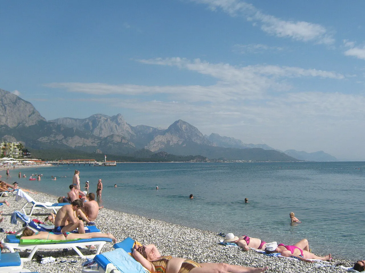
Kemer is best understood as the centre of a wide holiday region whose main draw is its beaches, with smart shops gathered along the covered Liman Caddesi pedestrian street. More than a hundred hotels with large pool complexes, tennis courts, gyms and discos compete for visitors, which explains why the resort strips stretch well beyond the walkable core.
Expect a two-layer map. The inner layer is the centre: Liman Caddesi, the yacht harbour and the waterfront. The outer layer is the district coast running south, where Çamyuva and Phaselis sit beside one another and Çıralı and the Yanartaş flames lie further out. That second layer needs road distances and transport, not pavement steps.
Laying out the town: harbour, marina and main streets
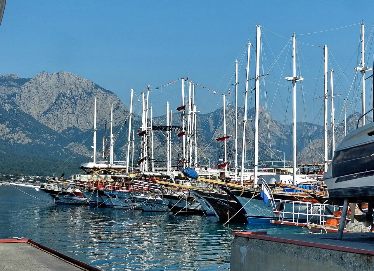
Plot the yacht harbour first, because the ADAC map places the town's dive attraction relative to it: the French warship Paris II lies at roughly 30 m depth on the seabed directly off Kemer's yacht harbour. That single fixed point lets you orient the marina, the waterfront promenade and the streets running inland towards Liman Caddesi.
Once the harbour is fixed, the rest of the centre reads as a short walk: shops, cafés and the pedestrianised Liman Caddesi sit inland of the water, and the coordinates of the town itself are a reliable way to check you have the right Kemer on a map app before you navigate.
If you want to drill into the marina and harbour area in more detail, the dedicated marina guide covers the moorings and the waterfront, and it pairs naturally with this map when you are working out where to start a stroll.
Liman Caddesi and the covered shopping street as the walking anchor
Treat Liman Caddesi as the pin you drop in the middle of any town-centre plan. It is a covered pedestrian zone lined with smart shops, so it works as a rain-proof or shade-giving spine for a wander, and every other central street you plot can be measured as a few minutes from it.
For a shop-by-shop read of the centre, the Shopping in Kemer guide extends what the map shows as a single line, naming the streets and the kinds of shops you will pass. Use it to decide how long to allow on Liman Caddesi before heading for the water.
Moonlight Park & Beach as a marked green space
On the coastal side of the map, Moonlight Park & Beach is the recreation area to look for as a green block between the town and the sea. Treat it as a landmark rather than a destination in itself: if your hotel pin sits near it, you are within an easy walk of the waterfront.
Mark it on your own map alongside the harbour, because the two together give you a walking loop: harbour at one end, park and beach at the other, Liman Caddesi between them. That triangle is the part of Kemer you can genuinely cover without transport.
Reading the wider district: Çamyuva, Phaselis, Çıralı and Yanartaş
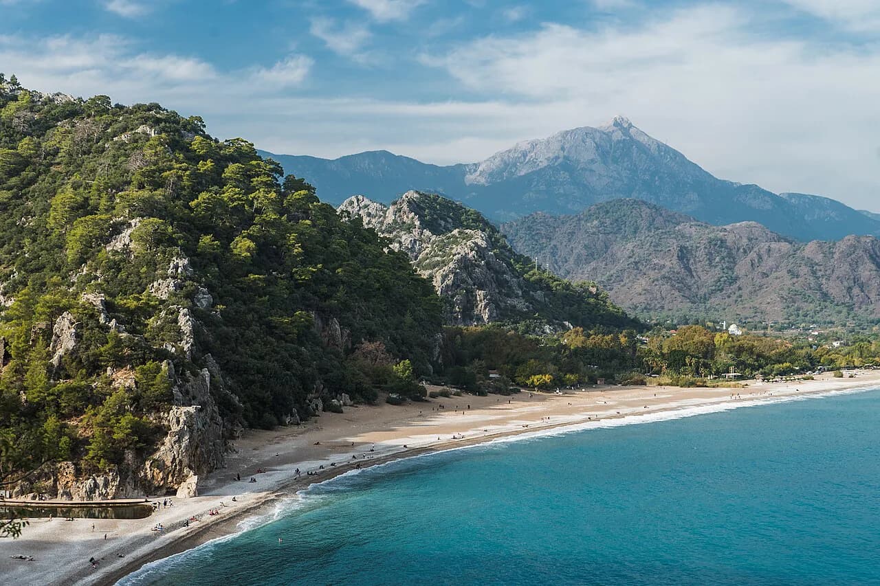
Zoom out and the district spreads into a series of coastal settlements. Çamyuva and Phaselis sit close to one another on a district map, with Phaselis on a narrow peninsula in the middle of a pine forest. Çıralı and the Yanartaş flames above it lie further along the coast.
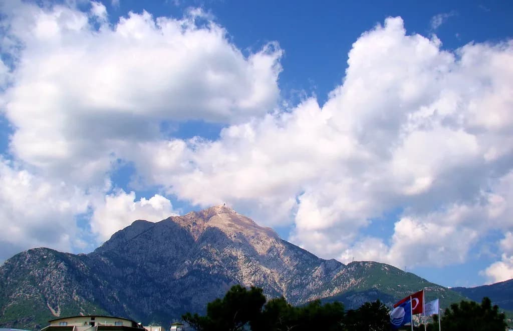
On a regional map you will also see Olympos, the ruins that share the same stretch of coast as the Chimaera flames, and the mountain of Tahtalı Dağı, which appears in the cable-car and paragliding listings. None of these are walkable from the centre, so plan them as separate outings with their own transport.
Where Phaselis sits on the peninsula and what is inside the site
Phaselis occupies a narrow peninsula among pine trees and was founded as a Greek colony from Rhodes around 690 BC. Inside the site, 400 m of the great aqueduct that once brought drinking water from the Taurus mountains survives, and visitors walk a 20 m-wide monumental street beneath the pines past the remains of a Byzantine church, Roman baths and a small theatre from the 2nd century.
The map detail that matters is the south harbour, where a swim off the site is the reward after the ruins, so allow time for both rather than treating Phaselis as a quick photo stop. The fuller site guide covers what else to see when you get there.
Where the Chimaera flames above Çıralı appear on the regional map
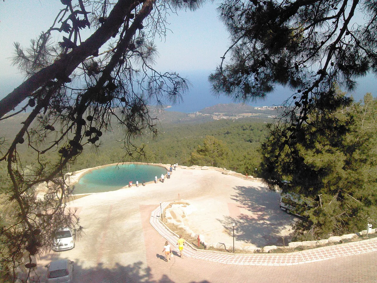
Above Çıralı, the Yanartaş site is one of Turkey's strangest natural phenomena: gases escaping from rock fissures ignite on their own, leaving small flames that have burned continuously for thousands of years. On the map, look for it inland and uphill from Çıralı rather than on the shore, and note that its atmosphere is strongest after dark, when the flames are visible against the coast below.
That uphill position is the practical point: the flames sit above Çıralı, away from the shore, so build the climb into the day and check the current path and access before setting out.
Monday bazaar and the yacht harbour as fixed points to plot
Two fixed points organise a day in town. The yacht harbour anchors the waterfront, and the bazaar gives the centre a weekly rhythm: every Monday, visitors to Kemer can haggle for souvenirs at the market before heading on.
Plot the market on your map before you go, because market stalls shift and a static map will not show the layout on the day. The Kemer markets guide explains what to expect from the stalls; treat the Monday timing as the district's established pattern and confirm the current arrangement locally.
How to use the map for a day out: town centre, then Phaselis or Çıralı
A sensible day uses the map in sequence. Spend the morning on foot in the centre, starting at Liman Caddesi, looping down to Moonlight Park & Beach and finishing at the yacht harbour, then take transport south in the afternoon for either Phaselis or Çıralı. Trying to combine both outlying sites in one afternoon leaves no time to walk the ruins or climb to the flames.
For the wider menu of sights, including the cable car up Tahtalı Dağı and the boat trips listed for Kemer bay, the Things to Do in Kemer guide fills in what the map can only point at. Use it to choose your second day before you commit the first to the town.
What a static map cannot tell you
A printed or downloaded map fixes the geography but not the day: it will not tell you which boat leaves when, what a site ticket costs or whether a path is open. The ADAC listings show bookable excursions such as a Kemer bay boat tour from 47.00 euros and a cable car ride up Olympos from 30.00 euros as prices listed in 2026, and those figures should be treated as history rather than a quote for your trip.
Equally, no map app will show you the resort strips as they feel on the ground, or which stretch of coast suits a quiet afternoon. Use the map to get the order of things right, then check timetables, ticket desks and transport locally on the day.
Which half of the map does your day belong to?
Decide before you leave the hotel whether the day is a centre day or a district day. A centre day needs no transport: Liman Caddesi, the harbour and Moonlight Park & Beach fit into one walk. A district day needs a plan for Phaselis, Çıralı or the flames, and probably a boat or a bus to reach it.
Drop four pins first: Liman Caddesi, the yacht harbour, Moonlight Park & Beach and the Monday bazaar. Everything else on the Kemer map is a choice about how far south you are willing to go.
Frequently Asked Questions
Where is Kemer in Turkey?
Kemer is a coastal district of Antalya province on Turkey's Mediterranean coast, with the Taurus mountains rising behind the shore. The town centre clusters around the covered Liman Caddesi pedestrian street and the yacht harbour, while the wider district runs south towards Çamyuva, Phaselis and Çıralı.
Can you walk around central Kemer without transport?
Yes. The central area is compact enough to cover on foot, with Liman Caddesi, the yacht harbour and Moonlight Park & Beach forming a workable loop. The district's ancient sites and the Chimaera flames are well outside that walk and need a bus, boat or taxi.
Which day trips appear on a Kemer map?
Phaselis on its pine-covered peninsula near Çamyuva, the ruins of Olympos and the Yanartaş flames above Çıralı all sit within the district or just beyond it. Boat trips into Kemer bay and the cable car towards Tahtalı Dağı are also listed for the area; check current sailings and departures locally.
Sources
Notes for your next Turkey trip
Optional updates when we add or correct a town guide.
You might also like
Continue reading
More guides you'll find useful