Antalya Map: Old Town, Harbour and Resort Strips Guide
A visitor's guide to Antalya's map: how Kaleiçi old town, the harbour, Hadrian's Gate and the Lara and Konyaaltı strips fit together, with approximate walk times.
On this page
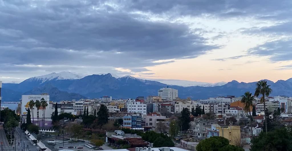
Antalya sits on Turkey's south-west Mediterranean coast, facing the sea with the Taurus Mountains rising behind it, and the whole city fits into a compact mental map. Start from the walled Kaleiçi old town and the harbour directly below it, then picture two long coastal strips stretching away from that centre: Lara to the east and Konyaaltı to the west. This guide shows how those areas connect, what sits between them, and how to judge distance before you set out.
What an Antalya map shows at a glance
Every city map of Antalya is organised around the coastline. The city occupies a stretch of Mediterranean shore in the country's Mediterranean Region, with the Taurus range inland of the built-up area. A public download map of Antalya is a general-purpose city plan rather than a detailed street atlas of the old town: it plots a short network of streets and paths and marks the bus and tram stops, so treat it as an orientation aid for the wider city rather than a guide to Kaleiçi's lanes.
The practical consequence is that the centre is walkable and the outer districts are not: the strips run for miles along the coast, so they are best handled by tram, bus or dolmuş rather than on foot. When you look at a map, treat the walled centre as a single block, not a route to cross twice in a day.
Where Antalya sits compared with Istanbul, Ankara and Mersin
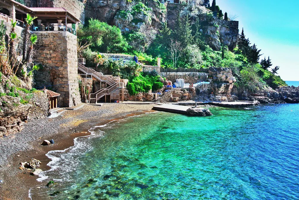
Antalya's position becomes clearer against the big cities. It lies roughly 720 km south-west of Istanbul, around 480 km south of Ankara, and about 230 km west of Mersin, with the province of Muğla to the west and Mersin to the east. That makes a coach or domestic flight from Istanbul a substantial journey, so most UK and Irish visitors fly straight in.
For day trips, the west-facing position matters most: Muğla province begins along the coast to the west, the direction in which the Lycian sights and the Fethiye, Kaş and Kalkan stretch lie. Plan road trips knowing the distances Mount quickly along this coastline.
The two anchors for orientation: Kaleiçi and the harbour
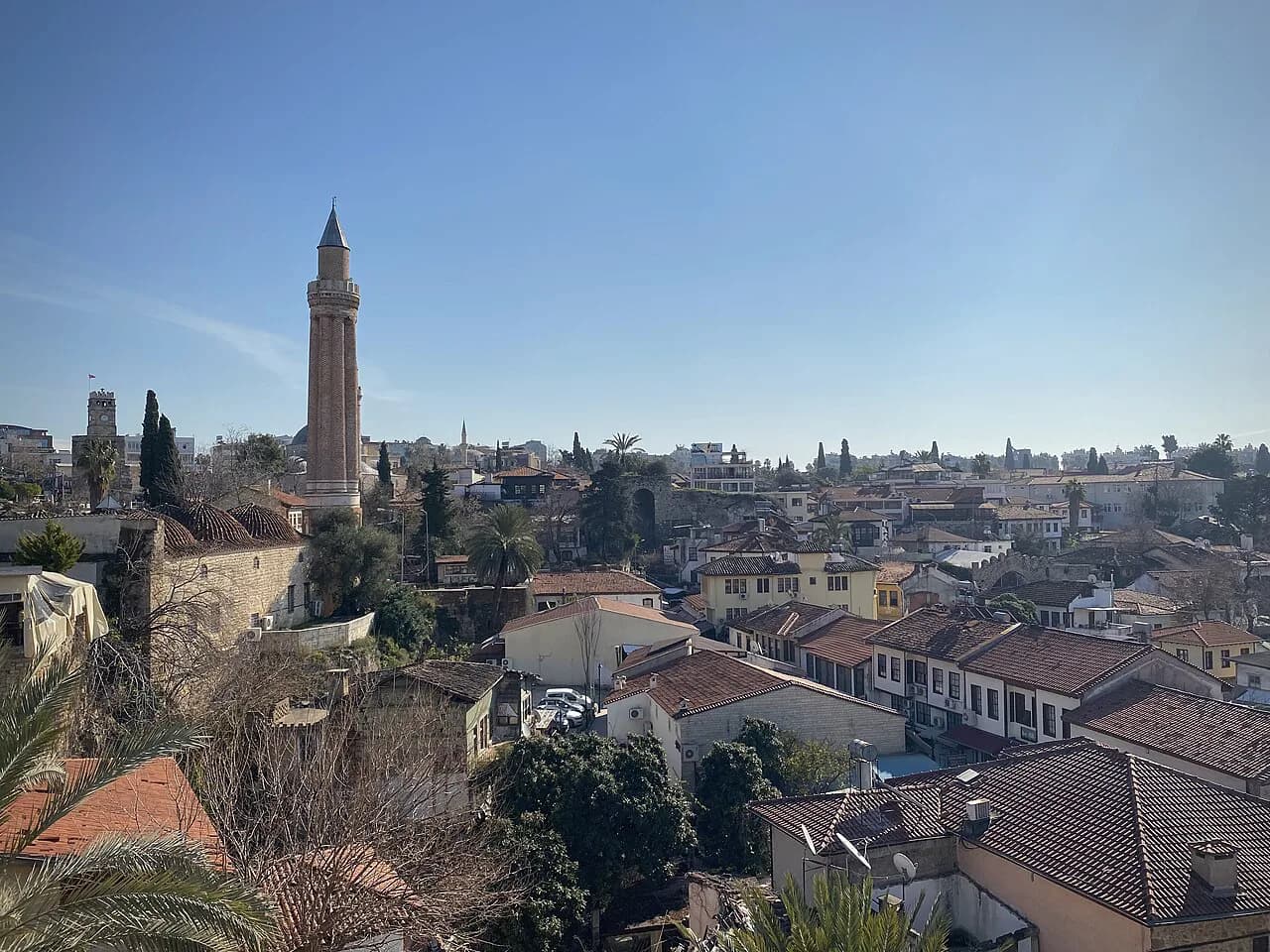
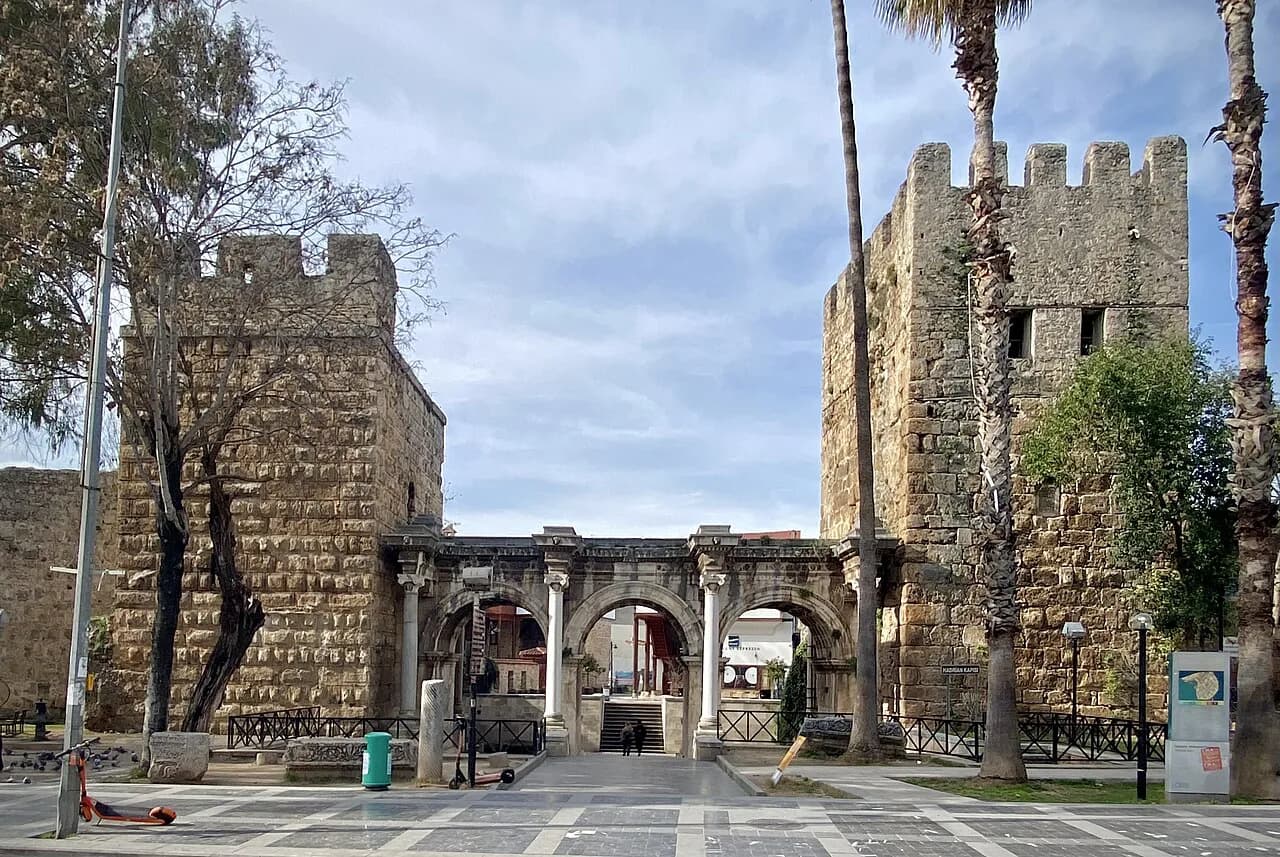
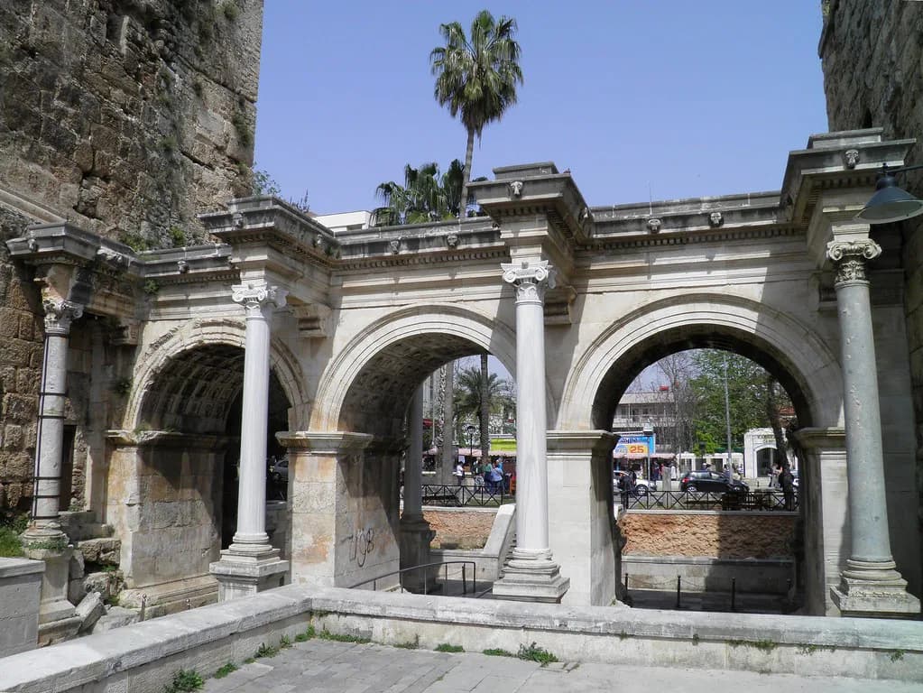
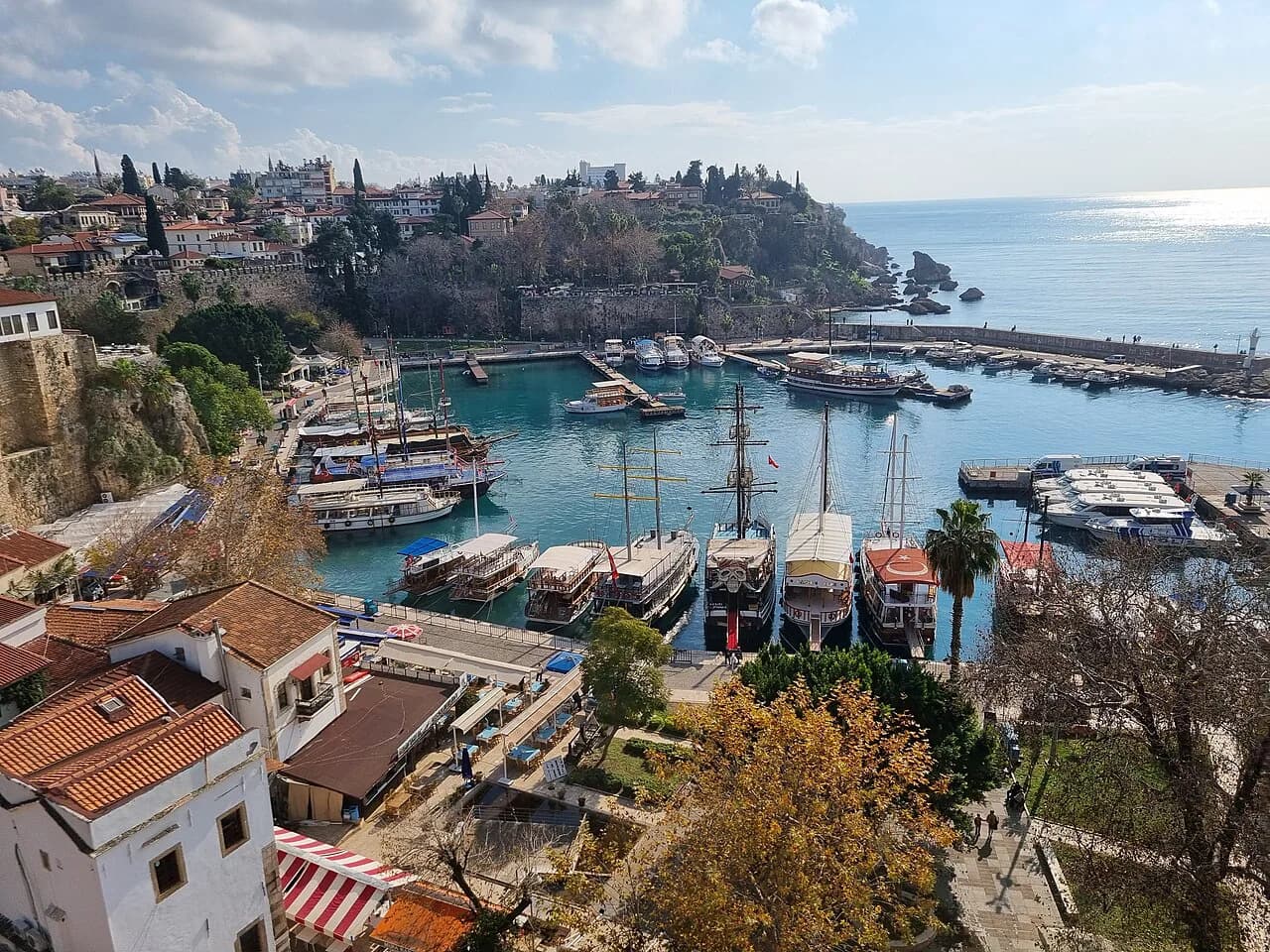
Kaleiçi, the old town enclosed by its walls and overlooked by Hadrian's Gate, is the easiest place to start learning the map. The harbour sits directly below it, so the pattern is down to the water and back up again through narrow lanes; once you have walked one route between the two, the rest of the old town starts to make sense. Our guide to things to do in Antalya picks out the sights around this centre.
Keep the harbour as your fixed compass point. Wherever you are inside the walls, a downhill lane generally leads towards it and an uphill lane leads back to the gate end of the old town. Fixed landmarks of this kind are more useful than step-by-step instructions in a place where the streets bend.
Reading the coastline: Lara east, Konyaaltı west
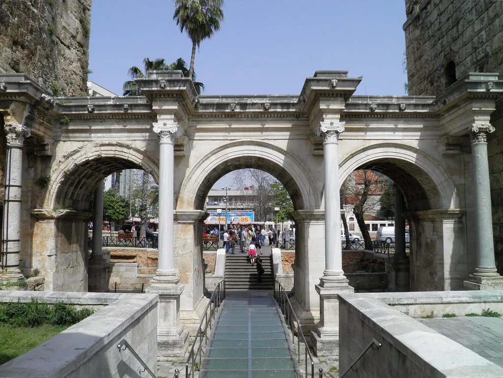
Antalya's coastline mixes sandy beach, rocky cliff and coves, with the best-known stretches at Lara Beach to the east and Konyaaltı Beach to the west, alongside the Belek and Side shores further out. On a map this reads as one long band of coast with the compact centre in the middle, so the question for each day is which side of the centre you need.
Between the two strips, the centre holds the old town, the harbour and the main shopping streets, all in a fairly small area. That distinction matters when you choose where to spend time: the strips are lineal and transport-dependent, while the centre rewards you for staying on foot.
Arriving and getting your bearings from Antalya airport
Antalya airport is the main gateway, and it is described as one of Turkey's busiest international airports, which explains why so many European visitors land here rather than travelling via Istanbul. Before you book transfers, find the airport on the same map as the centre and judge your route along the coast rather than trusting a distance figure alone.
The airport side of the city is also the starting point for the eastern strip, so if you are staying towards Lara, your journey is shorter than for those heading west to Konyaaltı. Note which side of the centre your accommodation falls on before you choose a transfer or pick-up point.
Getting around without a car: tram, bus and dolmuş
A city map's transport layer is the most useful part for orientation. Antalya's map shows bus and tram stops along with its stations, enough to see that the public network threads through the centre rather than skirting it. Use it to check which line serves the stretch of coast you are heading for before you set out.
For the strips, dolmuş minibuses and the tram do the work that walking cannot. If you plan to move between the old town and the outer districts repeatedly, look at the Antalya tram before choosing accommodation, as the line's shape will shape your days.
On foot in the old town: how long the streets take
In Kaleiçi, distances are small but progress is slow. The download map plots about 7 km of streets and paths across the city area it covers; the old town's share of that is a compact network of lanes best crossed in stages rather than as a single through-route. Allow for pauses at the gate, the harbour and the viewpoints above the water.
Practical walking in the centre works best as loops: descend from Hadrian's Gate through the lanes to the harbour, follow the water, then climb back by a different lane. Wear shoes with grip, because old paving can be uneven and polished in places, and carry water in summer when the uphill return feels longer than the map suggests.
Where the province lines fall, and the day trips that follow
Antalya province borders Muğla to the west and Mersin to the east, and its coast runs for hundreds of kilometres between them, which is why the map shows so many separate resort areas under one city name. Ancient cities and theatres sit within reach of the modern resorts, so an afternoon out can pair a coastal base with a ruin rather than a long day in a coach.
For planning, pick day trips by direction rather than by headline: look west along the Muğla coast or east towards Side and Belek, then check the road route on a map with the same care you gave the airport transfer. Road distance is the honest measure here, not a straight line across the sea.
Planning a route that pairs the centre with the strips
A sensible first-day route uses the centre as a base: the old town and harbour in the morning, walking the lanes and stopping at the gate, then a tram or dolmuş out to whichever strip suits the afternoon. Keep the two halves of the day on the same side of the map so you are not crossing the city twice.
Spread the remaining days across the strips rather than repeating the centre. One day on the eastern side and one on the western side gives you a feel for how different the two halves of the coastline are, and the map makes clear that they are not interchangeable places to wander.
Using a paper or PDF map alongside your phone
Downloadable city maps come as standard JPG, PNG and PDF files, including editable vector PDFs, which makes a printed version easy to produce at home. A paper map is useful in the old town, where small lanes and tall walls can make a phone screen awkward to read in bright sun.
Use your phone for live movement and the paper map for shape and orientation, and treat any printed street detail as a guide rather than a guarantee. That combination keeps you heading the right way without depending on one device.
Which side of the map do you need first?
Decide where you are staying in relation to the centre before you plan anything else. If you are west of the old town, learn the Konyaaltı side of the map first; if you are east, start with Lara. Everything else follows from where the harbour and Hadrian's Gate sit relative to your base.
Then build each day as a loop from the centre outwards, checking the route on the map before you leave and confirming current transport times and ticket details on the day. For the shopping side of a day in the centre, our guide to Shopping in Antalya picks up where the map leaves off.
Explore more Antalya guides
Sources
Notes for your next Turkey trip
Optional updates when we add or correct a town guide.
You might also like
Continue reading
More guides you'll find useful