Lake Salda: Turkey's White-Sand Lake Worth the Detour
Lake Salda is a turquoise crater lake near Yeşilova in Burdur province. Here is how to reach its white shores and what to see on the way.
On this page
Lake Salda earns its detour when you are already moving between Pamukkale and the coast, not as a destination on its own. It sits 64 km from Burdur city centre and 4 km from Yeşilova, with a white shoreline and turquoise water that make a half-day stop feel worthwhile. This guide covers the shoreline stops, how to get there by bus or car, how long to allow and what the conservation rules mean for swimming.
What Lake Salda is and where it sits
Salda Gölü lies in the Lakes Region of Burdur province, close to the Yeşilova district. One description puts it 64 km from Burdur city centre and 4 km from Yeşilova, with a surface area of 47 km² and an elevation of 1,193 m. A second account places the same lake at 1,145 m and gives a maximum depth of 184 m, so treat the exact figures as approximate and use them for scale rather than precision.
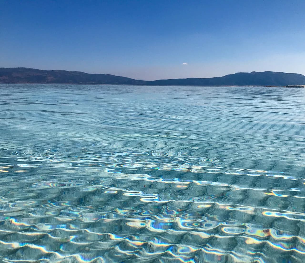
It is a freshwater crater lake without an outlet, fed by the surrounding highland rather than a river. The surrounding terrain is rocky hills and forest, not the flat resort coast, and the water is clear enough that the bottom shows through near the edge. That combination is why the lake reads as a mountain stop rather than a beach day, and why the air feels cooler than down in the valleys.
The 'Turkish Maldives' label follows the lake around, and the 'closest point to Mars on Earth' nickname comes from the same white, mineral-heavy shore. Both are marketing phrases rather than descriptions of the swimming, so it helps to know what actually creates the look before you build a day around it.
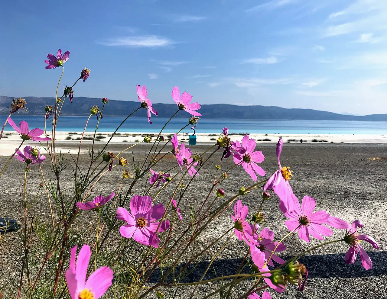
How the lake looks: white shores, hydromagnesite and turquoise water
The white edge of Lake Salda is largely hydromagnesite, a magnesium-rich carbonate mineral, and much of it is tied to microbialites, rock-like structures formed by micro-organisms, water and minerals working together. That geology, not imported sand, is what gives the shore its pale colour and the water its green-to-turquoise range.
From the shoreline the colour shifts with the light: white at the edge, then green, then deep turquoise where the lake bed drops away. Forested hills and plains frame most of the perimeter, and the lake is big enough that the far shore stays a smudge rather than a walkable target. Plan on photographing from a couple of angles rather than circling the whole rim.
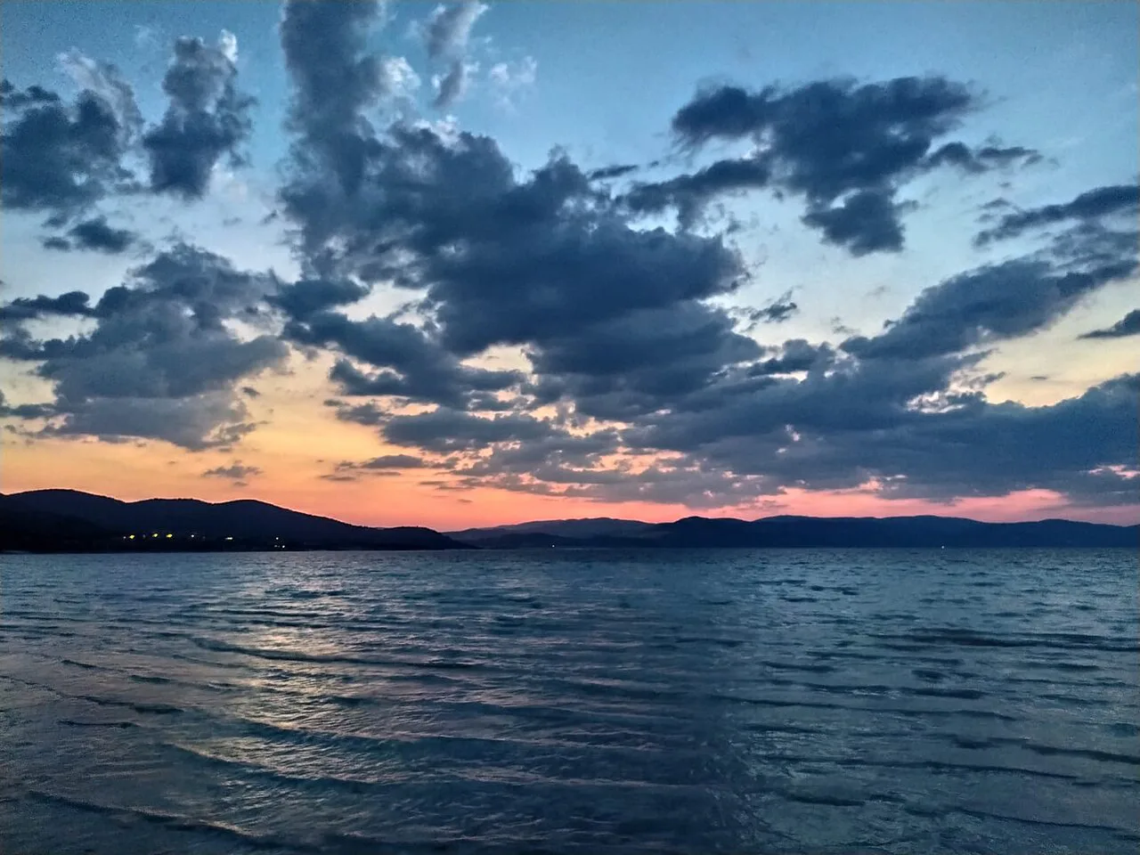
Where to stop around the shore
Doğanbaba Beach is one shoreline stop, and Salda village is nearby. The forestry nature park, Orman Bakanlığı Tabiat Parkı, is the managed area around the lake, and Orman Evi is a further stop on the same circuit.
Treat these as short stops rather than a full day of sightseeing. Each one is a viewpoint, a stretch of shore or a place to eat, and the pleasure comes from the water and the light rather than from anything built there. Give the shoreline two to three hours in total, and add time if you plan to eat at Salda village.
Swimming and the fragility of the shoreline
Swimming is possible in summer, when the water is cool and clear despite the highland climate. Swimming and camping are subject to local regulations, and the white shore is the reason those rules exist, so stay on marked paths and keep off the mineral crust where signs ask you to.
The lake's mineral water is associated locally with skin complaints, and the shoreline's magnesium content is the reason given. That is a traditional association rather than a medical claim, so treat a dip as a pleasant swim in a rare setting and nothing more.
Getting there: distances, buses and transfers
By road, the approach is from Burdur or from Yeşilova, which is the closest town at 4 km. Coming from Eğirdir, the journey is almost 150 km and involves a change of bus in Isparta, taking at least three hours. Some pensions near Eğirdir arrange a transfer if asked the evening before, which cuts the bus changes but ties you to their timing.
From Pamukkale the lake works as a loop on a driving day rather than a bus trip, and from Kaş or Fethiye it sits on the inland route towards Pamukkale. If you are going without a car, build the day around the Isparta bus change and confirm the return times at the otogar before you set out. The lake has no station or dolmuş terminus of its own, so the last leg needs a taxi or a pre-arranged transfer.
How long to allow and how to slot it into a route
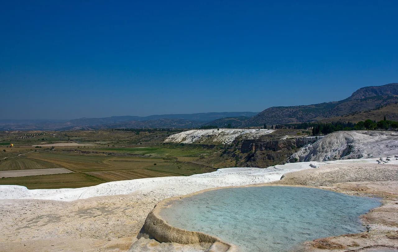
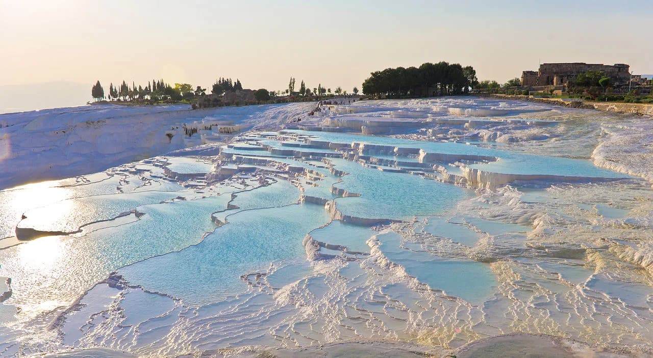
Two to three hours at the lake covers a swim, a walk along the white shore and a stop at Salda village. Add an hour or so each way if you are driving from Pamukkale, which makes it a half-day rather than a full one. That fits neatly before or after the travertines, and the lake slots in alongside the wider list of things to do in Pamukkale without eating the day.
If you are heading south to Kaş or Fethiye, the lake makes a natural break in the drive rather than a separate trip. Coming from the coast, it sits on the inland leg towards the Cotton Castle, so the sensible plan is lake in the morning and travertines in the afternoon, or the reverse if you are heading for the coast.
Tours versus driving yourself
A tour removes the bus changes and the transfer problem, and some agencies do run tours that include the lake. The trade-off is timing: you see the shore at the hour the coach arrives, with less freedom to wait for the light or swim. Ask the agency directly whether the lake is a photo stop or a proper halt before you book.
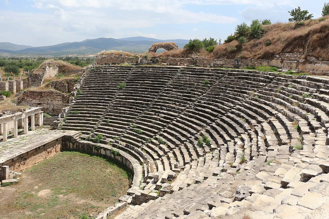
Driving yourself gives you the shoreline stops at your own pace and lets you combine the lake with the wider Pamukkale area. The Roman Theatre at Hierapolis and the travertine terraces are the obvious pairings, and both reward an early start before the coach crowds. Fuel and parking arrangements at the lake change, so check locally on arrival rather than relying on an old blog post.
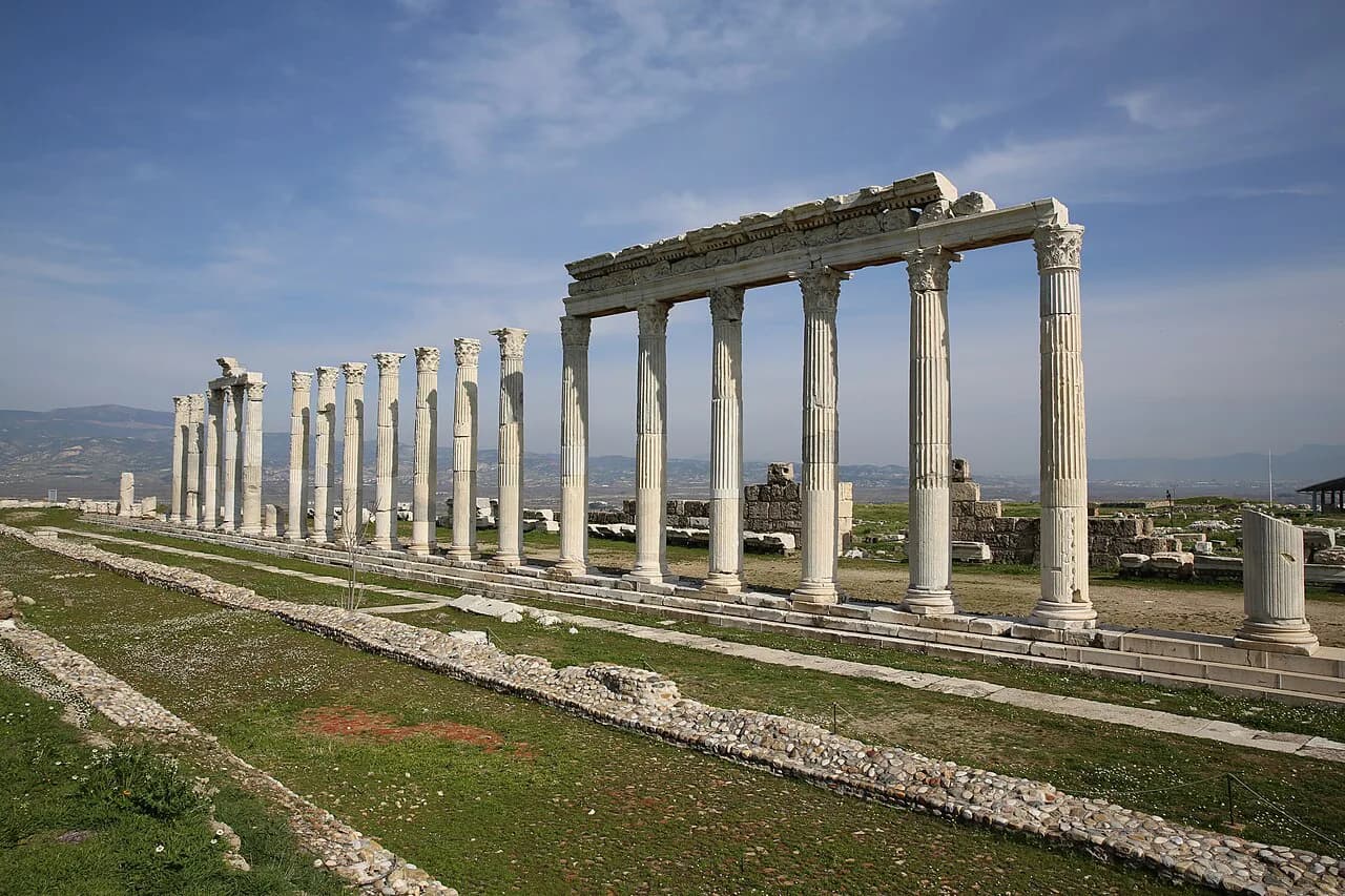
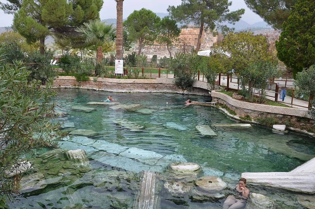
If you are basing yourself in Pamukkale for a few days, the lake is one of several outings within reach. Cleopatra's Pool, Pamukkale sits in the same cluster, and Laodicea on the Lycus is another inland site on the same driving circuit.
Practical points: altitude, climate and shoreline rules
At around 1,150 m the lake sits in a cool highland climate, and the water can freeze in winter. Summer is the season for swimming, with cool air even when the coast is baking, so pack a layer for the evening and expect the lake to feel bracing rather than balmy.
The white shore is the reason for the conservation rules, so keep to paths, take your rubbish away and do not take sand home. Facilities around the shore are seasonal in practice, so bring water and food if you are arriving late in the day.
Is Lake Salda worth the detour?
Yes, if you are already driving between Pamukkale and the coast. The white hydromagnesite shore and turquoise water justify a two- to three-hour stop, and the cool highland air makes a welcome change from the valleys.
No, if it would mean a separate bus journey with changes in Isparta for a short look at the water. Save it for a driving day, or take a tour that names the lake as a proper stop rather than a photo pause.
Explore more Pamukkale guides
Frequently Asked Questions
Is Lake Salda a salt lake?
No. Lake Salda is a freshwater crater lake with no outlet, and the white shore comes from hydromagnesite, a magnesium-rich mineral, rather than from salt.
Can you swim in Lake Salda?
Swimming is possible in summer, when the water is cool and clear, but swimming and camping are subject to local regulations and conservation rules protecting the shoreline. Check the signs at the nature park on the day.
Which airport is closest to Lake Salda?
Airport transfers are not something this guide covers. The practical approach is by road from Burdur or Yeşilova, or by bus with a change in Isparta, and a transfer from your accommodation can be arranged locally.
Sources
Notes for your next Turkey trip
Optional updates when we add or correct a town guide.
You might also like
Continue reading
More guides you'll find useful